Paved
Ararat plainMonastery
Ararat plain — 4×4 trails, cliff monasteries and 6,000 years of wine
from$1,755per person, based on 5 guests
A sensuous expedition through Vayots Dzor and Syunik: we follow the wine from Khor Virap to the 6,100-year-old Areni-1 cave, pass Gndevank monastery on the way to the geysers of Jermuk, cross the provincial boundary at 2,344 metres into Syunik to the “Armenian Stonehenge” of Karahunj, glide over the gorge on the “Wings of Tatev”, bathe at the Devil’s Bridge and explore the cave town of Khndzoresk. Evenings bring hand-picked hotels with spa.
Seven days, six nights, four places to sleep — and not one day that passes three hours of actual driving. That is precisely what separates this week from the compact routes through the same south: the destinations stay the same, the portions get smaller. An hour and a half on the first day, a little over an hour on the third, just under three on the sixth, and the rest sits between those. Difficulty 2 of 5. The rating here depends less on what is under the tyres — by far the greatest part of the route is sealed — than on the combination of a full week and altitude: between the Ararat plain at some 830 metres and the crossing on the provincial boundary at 2,344 metres there are a good 1,500 metres of climb, and one vehicle takes both.
The first day stands apart. Out of Yerevan at roughly 990 metres, a good forty kilometres of asphalt run south into the plain; Khor Virap sits there on a hillock at about 830 metres, the lowest point of the whole trip, and by evening the vehicle is back in the capital. Only the second day turns east and begins to climb: 110 kilometres of trunk road to Areni at 990 metres, where the Areni-1 cave opens right beside the carriageway, then twelve kilometres of spur road up the Amaghu gorge to Noravank Monastery at around 1,591 metres. You sleep in Yeghegnadzor, 1,194 metres.
Two places in the week call for real driving technique, and the first comes on the third day. First, past Vayk, a short spur leaves the Jermuk road and drops to the Arpa, where Gndevank Monastery stands at 1,750 metres behind its defensive wall; the surface there alternates between asphalt and firm gravel, off-road factor 2 of 5, and it softens after rain. Things turn serious in the evening. From the edge of Jermuk at 2,080 metres a gravel track pulls up onto the plateau towards the geysers at around 2,100 metres — a loose surface, deep scouring, several fords, factor 4 of 5. Low range in, tyre pressure down, gaps held in the convoy; the driving goes all the way to the spring, and only there does anyone get out.
From the fourth day the week belongs to Syunik. The trunk road climbs to 2,344 metres on the provincial boundary, sealed and steep, and heavy snowfall can shut that crossing on any day of the calendar. Past it come Sisian at 1,600 metres, the lines of upright stone at Zorats Karer, 1,770 metres, reached by a short approach running open across the plateau, and finally Goris at roughly 1,385 — and there the vehicle stays put for two nights, the only time it does so all week. The fifth day needs that quiet: Tatev Monastery at 1,580 metres, the valley road down to Satani Kamurj at 1,020 and the same bends back up. The sixth adds Old Khndzoresk, and then the way home begins. Which bed waits for you in the evening is decided by the comfort class you book rather than by the town: in the Signature class that means a spa hotel, in the Expedition a guesthouse, in the Frontier a wild camp. If you do the driving, the one stretch that stays with the lead guide is the track above Jermuk, where he goes in front. The season for this route is June to October.
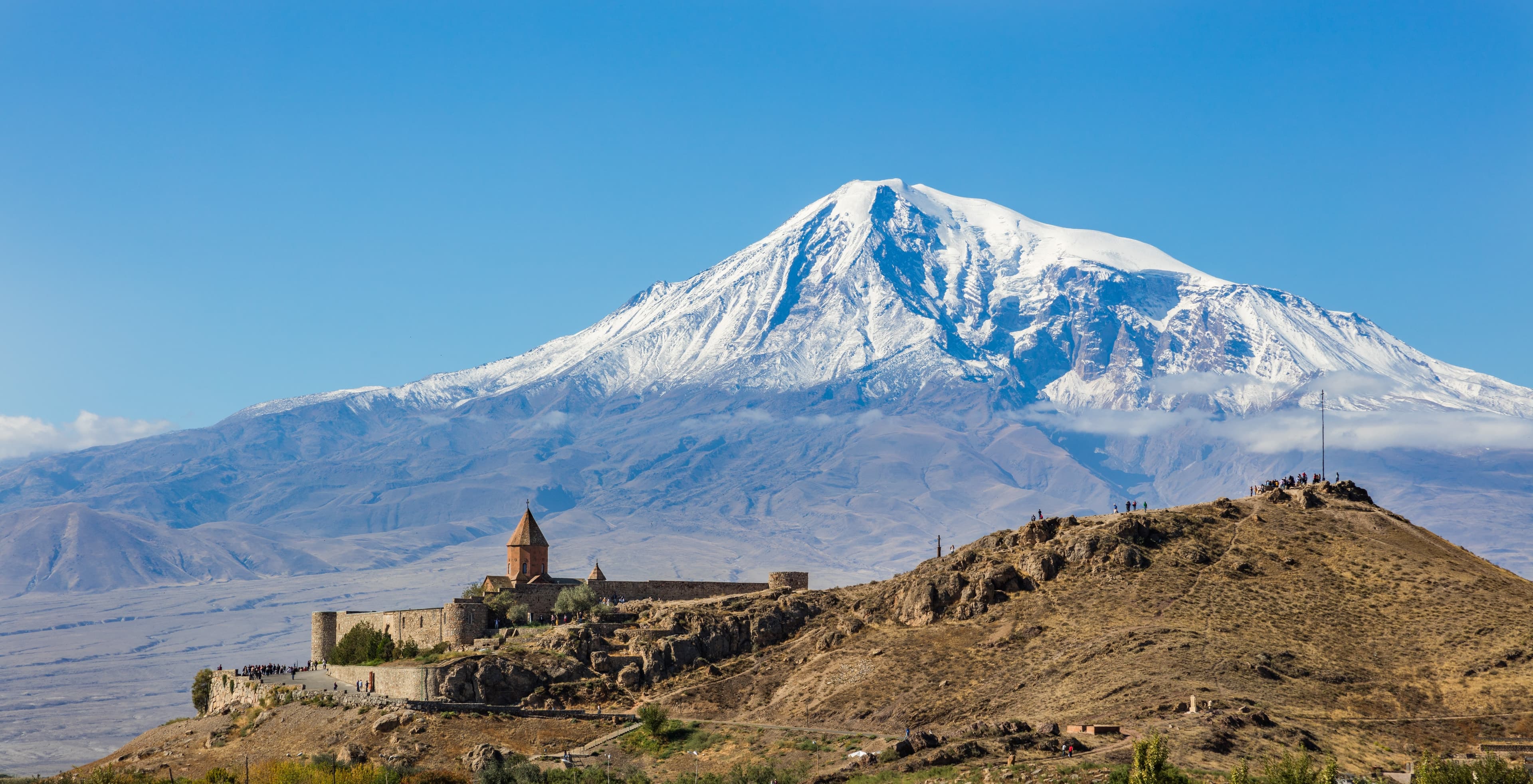
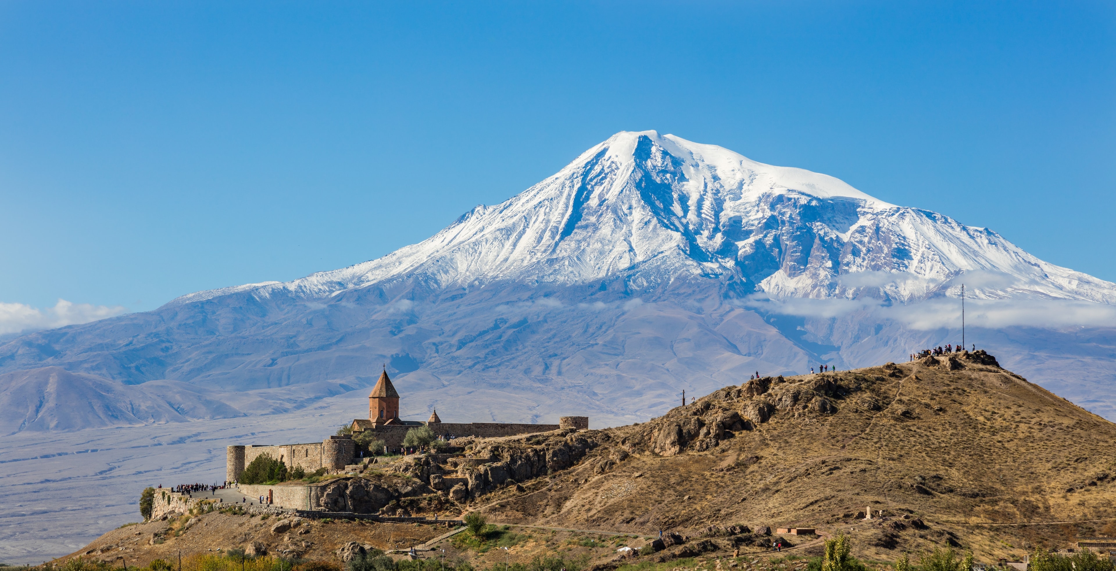
Arrival in Yerevan, drive to Khor Virap monastery facing Mount Ararat.
Half a day at the wheel and no more: a good forty kilometres south, the same back again, an hour and a half all told. Asphalt as far as the car park below the wall, then a few minutes uphill on foot. Four kilometres before the end the approach leaves the trunk road and runs dead straight through orchards and vine country towards the hill. Back in Yerevan the evening is free — the week begins slowly on purpose.
85 km · Driving time 1 h 30 · Elevation 990 → 990 m · highest point 990 m · tarmac 100 %
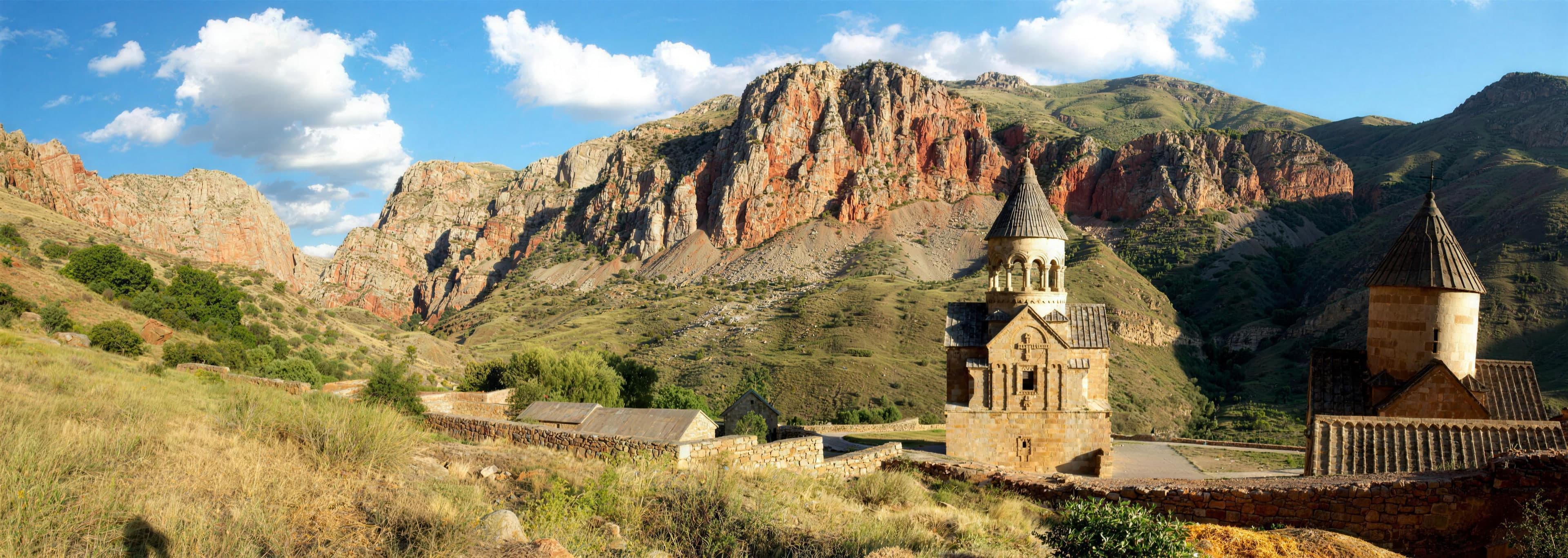
A wine tasting in the 6,100-year-old Areni-1 cave, then red gorges and the monastery of Noravank; overnight amid the vineyards of Vayots Dzor.
156 kilometres, a good two and a half hours. The trunk road carries 110 of them as far as Areni; two go on the way to the cave and back, twenty-four on the spur to the monastery and out again, twenty on the remainder to Yeghegnadzor. All of it is asphalt. The Amaghu gorge does narrow to a single slim carriageway between rock and stream, but it asks for nothing beyond reading the road ahead. Areni lies at 990 metres, the monastery at around 1,591, the beds at 1,194.
156 km · Driving time 2 h 45 · Elevation 990 → 1,194 m · tarmac 100 %
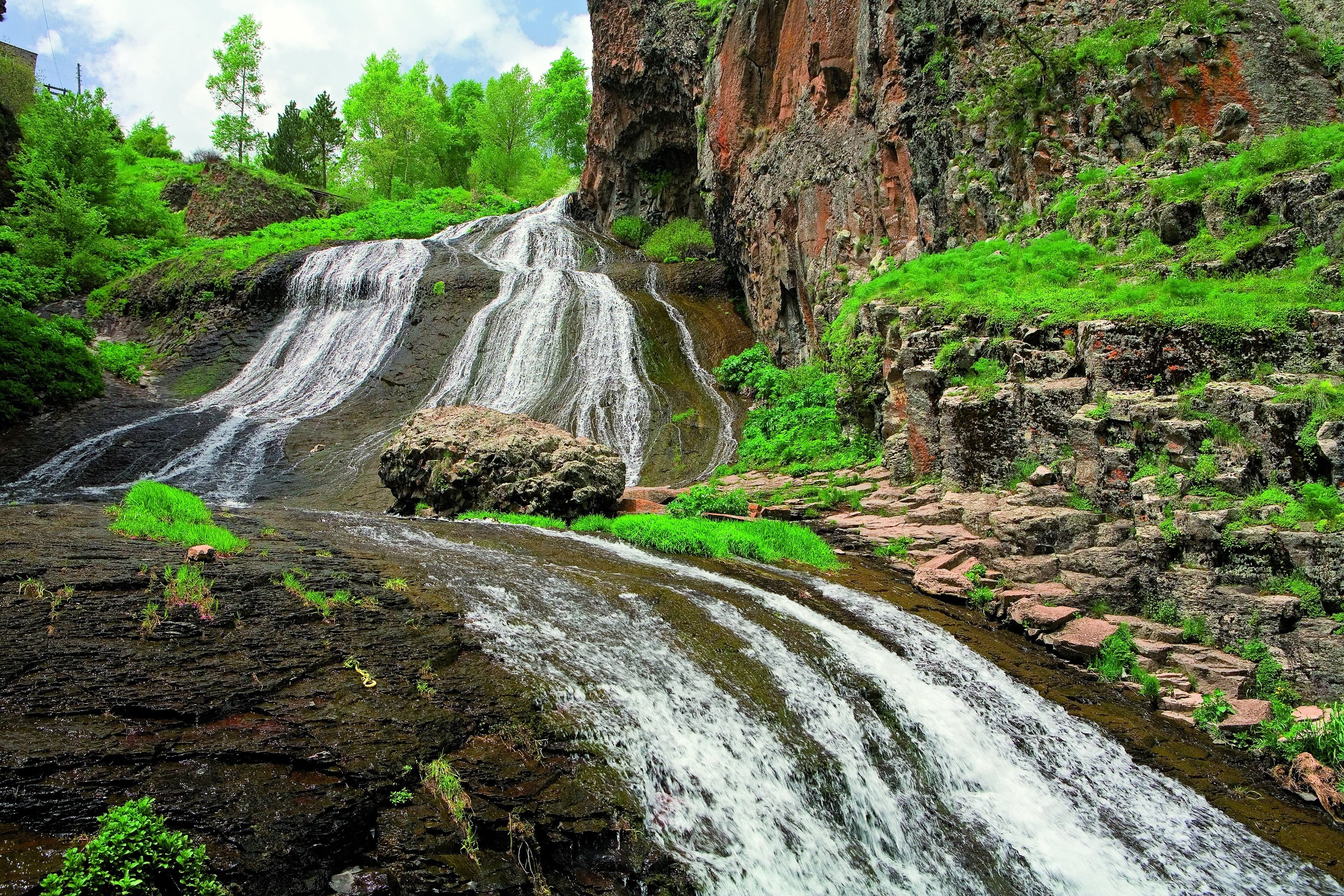
We follow the Arpa river to Gndevank monastery, then on to the geysers and healing springs of Jermuk.
The shortest driving day of the week and also the first with serious terrain: a little over an hour on the road, plus the track up onto the plateau. Out of Yeghegnadzor the trunk road heads east, past Vayk the road to Jermuk branches off, and shortly after a well-kept spur runs down to the Arpa. From 1,194 metres the day climbs to 2,080, and the spring lies another twenty above. Tyre pressure comes down before the track and goes back up afterwards.
Driving time 1 h 15 · Elevation 1,194 → 2,080 m · highest point 2,100 m
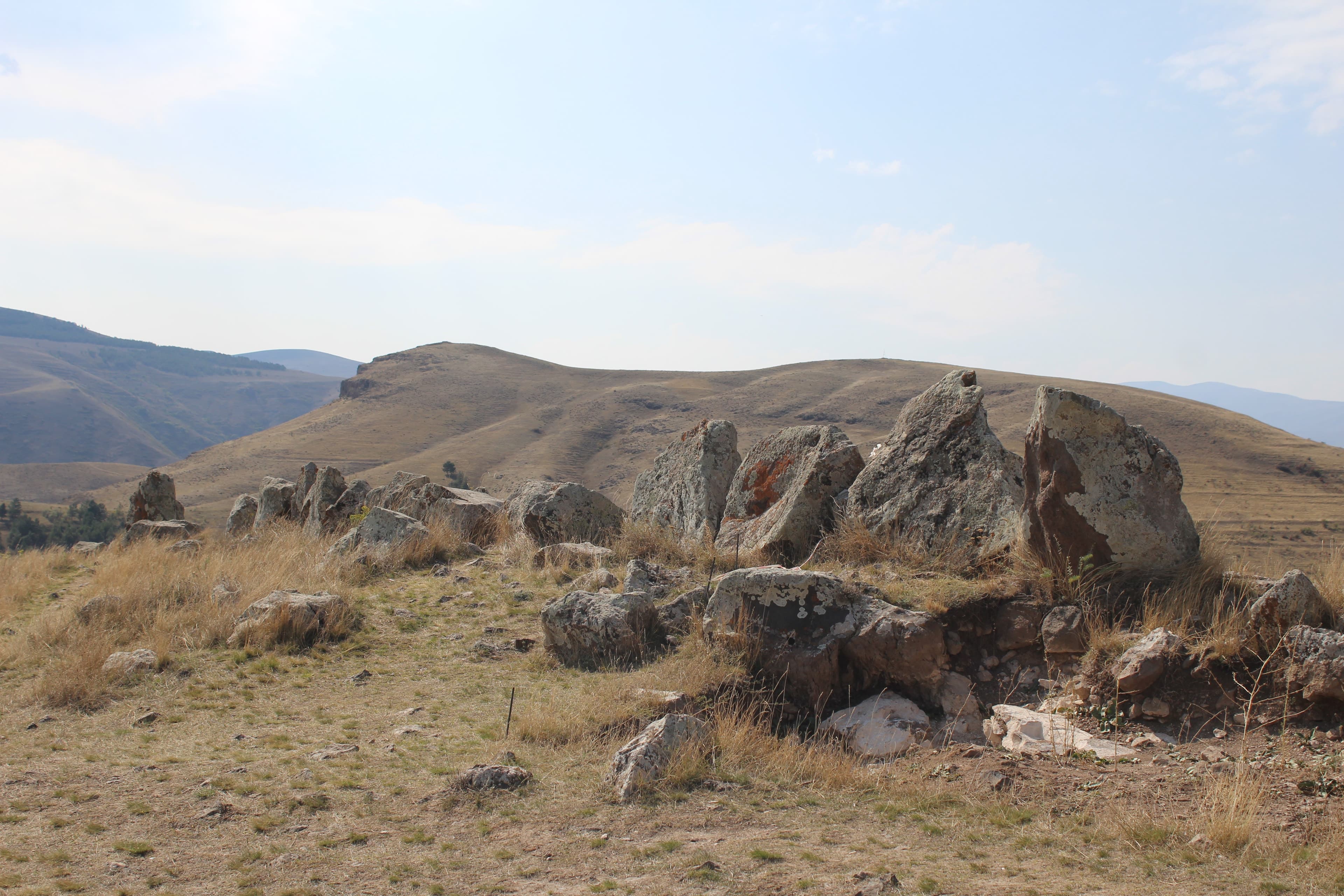
From Jermuk over the provincial boundary at 2,344 metres into Syunik, off-road across the Sisian steppe to the enigmatic stone rows of Zorats Karer, then down into the valley of the Vorotan and back up to Goris.
132 kilometres, just under two and a half hours. Twenty-four kilometres fall from Jermuk to the trunk road; heading east it climbs to 2,344 metres on the provincial boundary, sealed and steep, and awkward under snow. Sisian itself stands 1,600 metres high and six kilometres to the side of the highway; the stone field at 1,770 metres is another four kilometres on across the open plateau. Last of all, thirty-eight kilometres run down into the valley of the Vorotan and up again to Goris, 1,385 metres.
132 km · Driving time 2 h 30 · Elevation 2,080 → 1,385 m · highest point 2,344 m
The “Wings of Tatev” cableway to the cliff-top monastery high above the gorge, followed by a bathe in the warm pools of Satani Kamurj.
A good two hours at the wheel, and the hardest of them come at the end. It is thirty-five kilometres from Goris to Tatev, winding and in places along the edge of the drop; the last part goes by cableway from Halidzor, twelve minutes over 5.7 kilometres. Below the monastery at 1,580 metres the valley road falls in tight hairpins to the bridge at 1,020 metres. Going down, a small gear does the braking rather than the pedal, and buses come the other way.
Driving time 2 h 15 · Elevation 1,385 → 1,385 m · highest point 1,580 m
A walk through the cave town of Khndzoresk and across the swaying suspension bridge, then the first stretch of the drive back via Sisian to Vayots Dzor.
The longest driving day: 159 kilometres, just under three hours. First seventeen kilometres east to the rim of the gorge and the same back, then the trunk road westwards past Sisian, a second time over the crossing at 2,344 metres and down to Yeghegnadzor at 1,194 metres. Nothing on this day is technically demanding; the height, the lorries and the long gradients are. It pays to set off early: the stairs in the gorge take time, and the road afterwards does not want to be hurried.
159 km · Driving time 3 h · Elevation 1,385 → 1,194 m · highest point 2,344 m
A leisurely drive back through the vineyards of Vayots Dzor to Yerevan, departure.
123 kilometres of trunk road, two hours, asphalt throughout — and not downhill all the way. First the road climbs a good 350 metres out of Yeghegnadzor, 1,194 metres, to the watershed, beyond which Yelpin sits at 1,545 metres; only then does it fall into the Ararat plain and end in Yerevan at around 990 metres. This day asks nothing more of your technique. If you fly late, you stop once more on the way; if you leave early, you are in the city before noon.
123 km · Driving time 2 h · Elevation 1,194 → 990 m · tarmac 100 %
Ararat plainMonastery
Areni, Vayots DzorWine
Vayots DzorMonastery
Jermuk, Vayots DzorGeyser
near Sisian, SyunikArchaeology
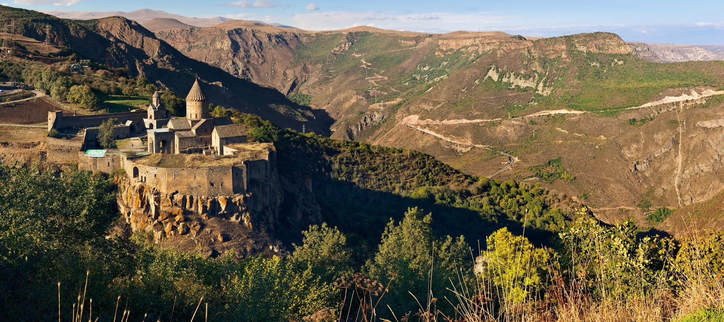
Syunik, Southern ArmeniaMonastery
Packing list
Questions about this tour
You can, and on a day with two nights in the same place there is time for it. The valley road through the Vorotan gorge is mostly sealed and above all full of bends; reckon on about forty minutes of actual driving for the section between the plateau and the floor of the gorge, while the cableway covers its 5.7 kilometres in twelve. This week does both: across by cableway, down to the bridge by road. That way you get the hairpins and the view from above without driving the same stretch twice.
Because the fifth day would not otherwise work out. Thirty-five winding kilometres run from Goris to Tatev, and on top of that come the cableway and then the hairpins down to the bridge and back up again; with changing, bathing and drying, the afternoon is full. Add a change of lodging in the evening and either the bathe is dropped or the arrival falls after dark. So the vehicle stands in the same place twice — and the luggage stays where it is.
It is not a whole one. The first day is a half: arrival, a good forty kilometres of asphalt south into the plain, a hillock at about 830 metres, and by evening the vehicle is back in Yerevan. The point lies in the opposite of what follows — someone stepping off a plane drives flat and straight on this day instead of over passes, and the real driving begins on the second morning with rested eyes. Between that hillock and the crossing into Syunik there are a good 1,500 metres of climb, and not one of them is driven on day one.
As an arc rather than a staircase. The first night is in Yerevan at around 990 metres, the second in Yeghegnadzor at 1,194, the third in Jermuk at 2,080 — the highest place you sleep on the trip. After that it comes down again: twice Goris at roughly 1,385 metres, then Yeghegnadzor once more. You cross the boundary at 2,344 metres twice, eastwards on the fourth day and back west on the sixth. Nowhere does the route go above 2,400 metres.
Where the week asks for technique: the plateau above Jermuk, the valley road below Tatev
Out of seven days, two sections ask for more than attention at the wheel, and they ask for different things. The first comes on the third day above Jermuk: loose gravel at around 2,100 metres, channels cut by meltwater, and streams that run straight across the line and carry most water in early summer. Each one is checked on foot before the leading vehicle rolls in; low range is compulsory, and ground clearance settles the rest. The second comes on the fifth day below the monastery: tight hairpins, a pronounced fall, rarely room for two vehicles side by side, and coaches coming the other way. There a small gear is what holds the speed. Both times the lead guide drives ahead and the convoy keeps its gaps.
Satellite communication on every route
Every group carries satellite messaging and tracking. Where the mobile network ends, the connection stays up, and help can be called from any point on the route.
Recovery gear and reserves on board
Winch, recovery straps, tools, spare fuel and spare water travel in every vehicle. In the convoy a second vehicle is always within reach, and the margin is planned before it is needed.
First aid and pre-planned routes to help
Comprehensive first-aid kits, guides trained in wilderness first aid, and routes to the nearest medical facility planned in advance for every stage.
Fixed dates or your own timing — guided or self-driven. We reply personally.