Signature
The South: Monasteries & Wine
7 days
2,400 m
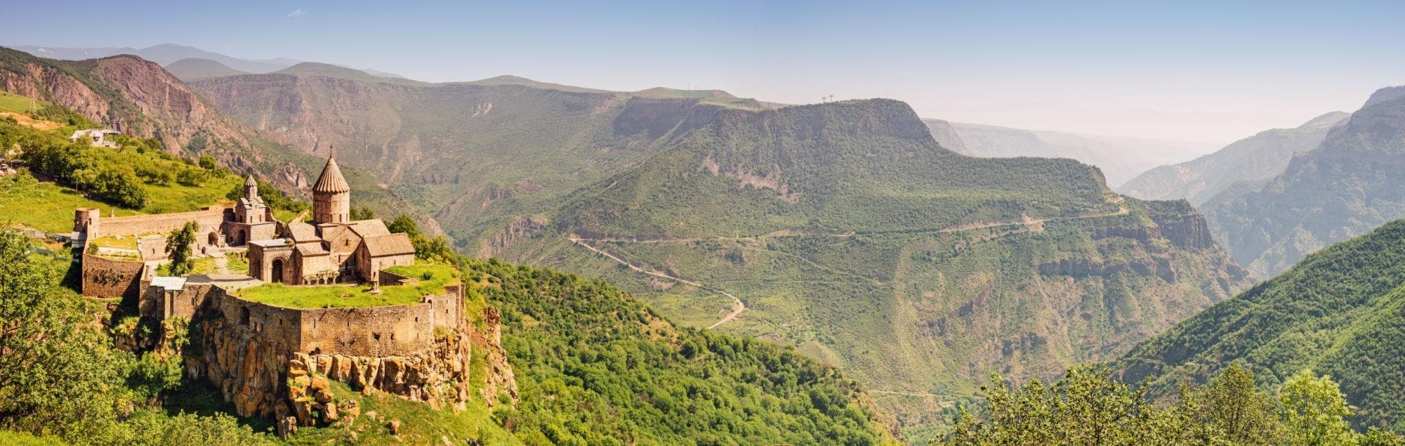
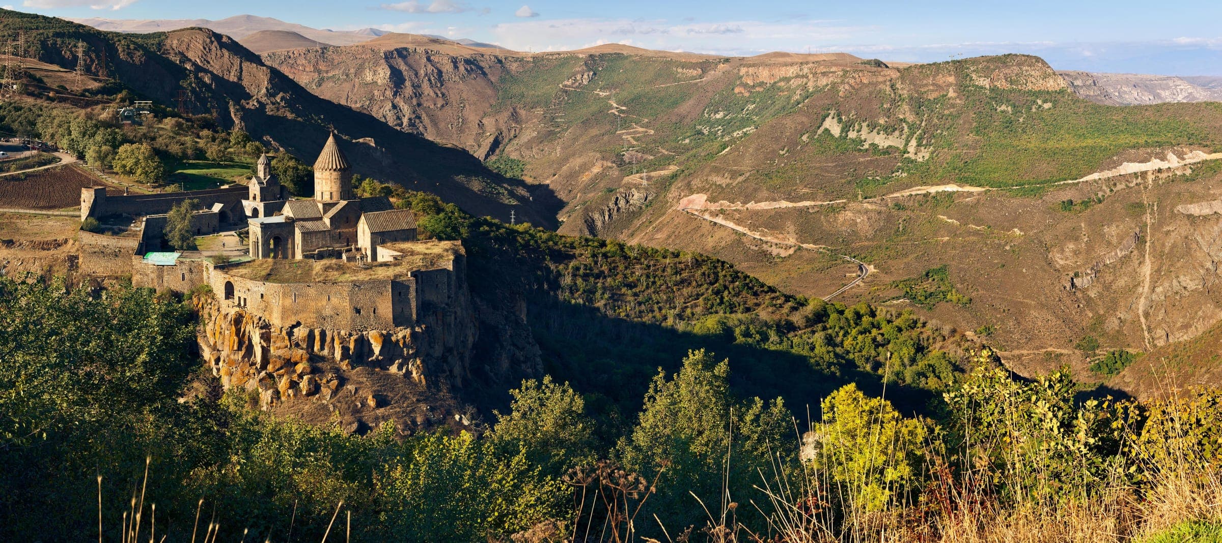
Syunik — Below Tatev Monastery, the terrain drops into a gorge up to 500 meters deep through which the Vorotan flows. The valley road winds in tight serpentine bends down to the river, past warm mineral springs and the natural travertine bridge Satani Kamurj. A short, technically tame, landscape-dense section in Syunik.
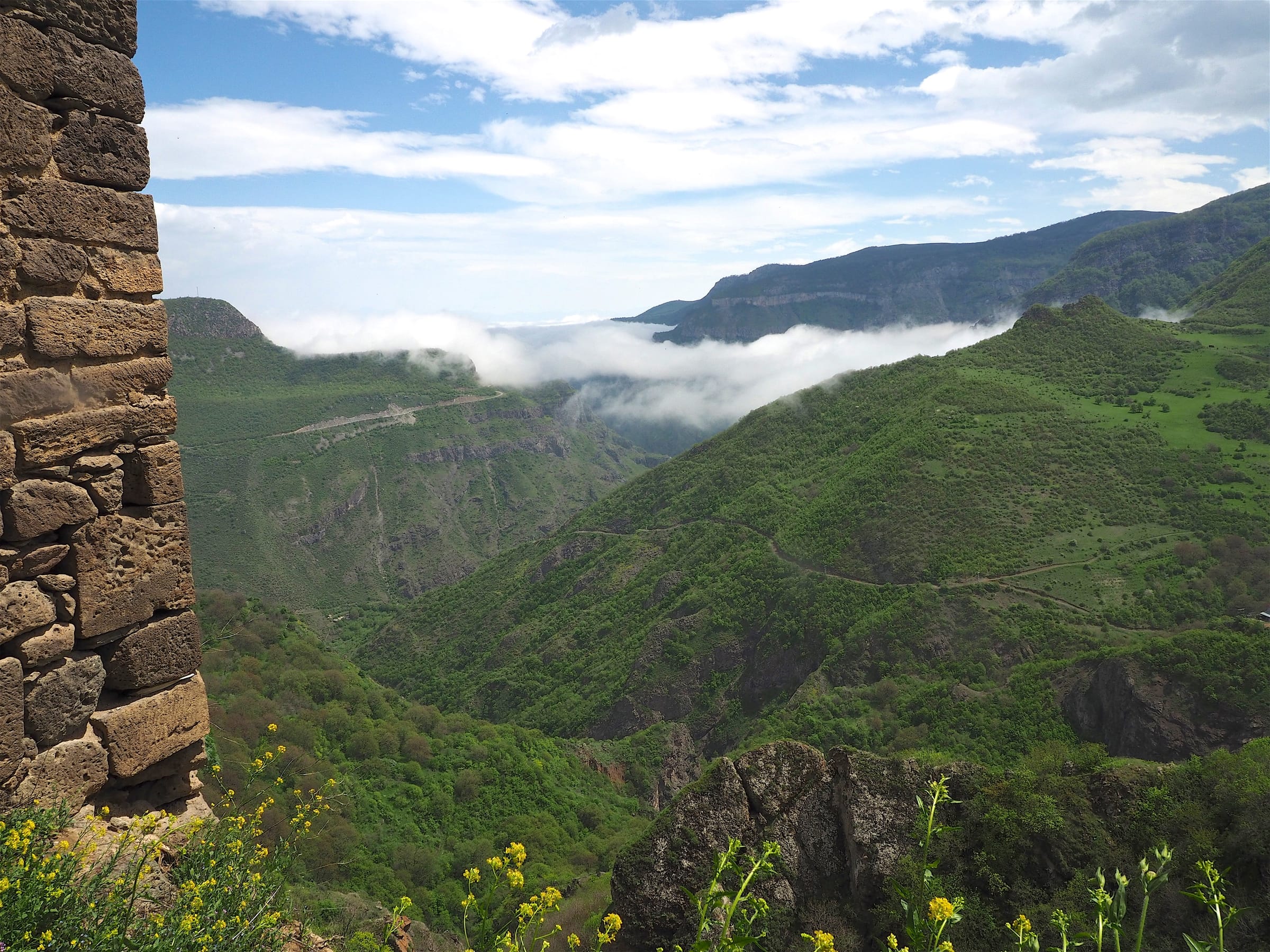
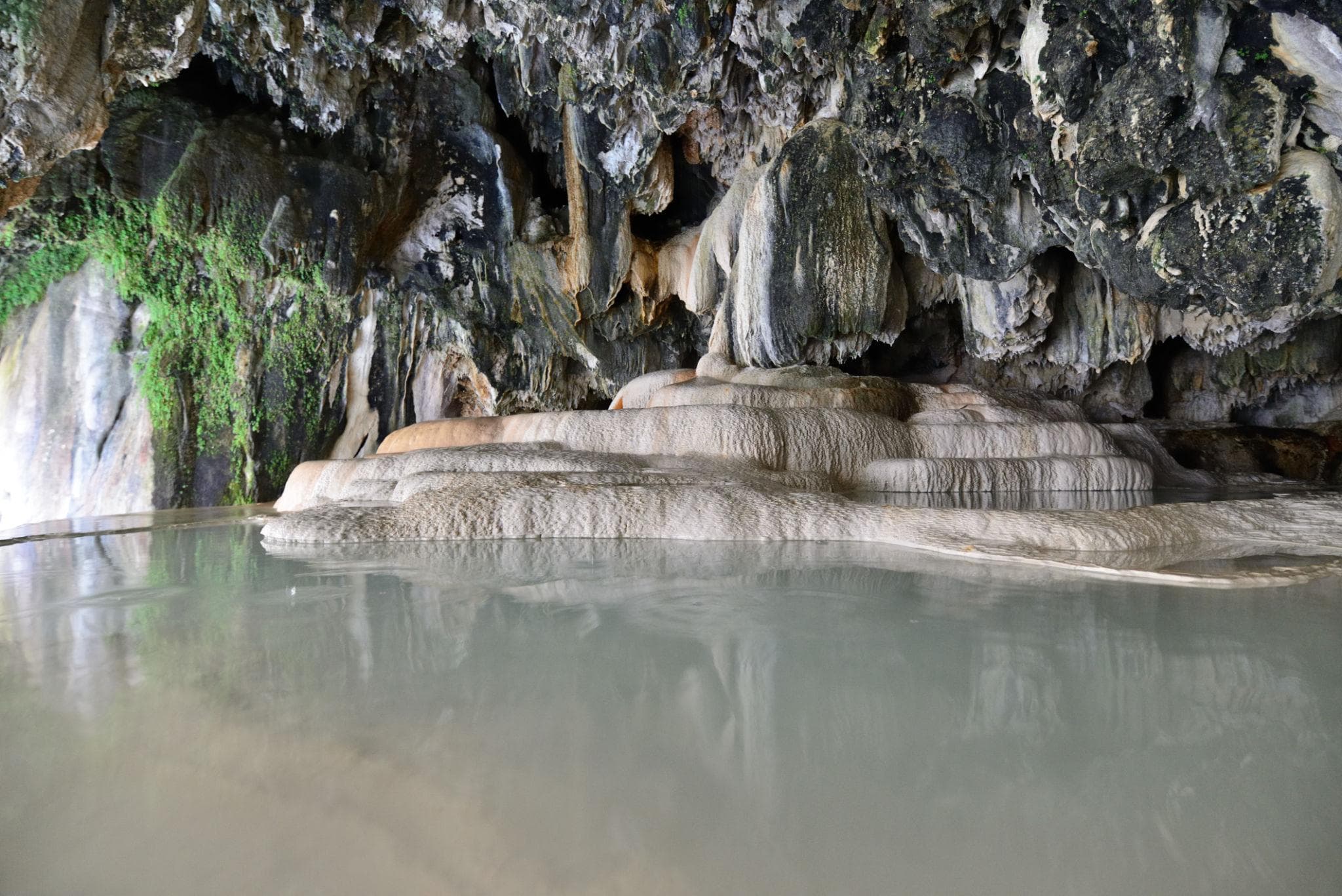
These cliffs are anything but grey: mineral-rich water has stained them yellow, pink and green, and along the riverbank freely accessible cave systems with stalactites open up. High above you sits the monastery plateau, while below the Vorotan flows quietly through its own small play of colour in stone. Stop here, and you discover more than just the drive through the valley.
The Vorotan Gorge lies in southern Armenian Syunik province, below Tatev Monastery. The Vorotan River has carved itself into these slopes over long periods; the gorge reaches depths of roughly 500 meters in places, the river valley floor at about 800 meters above sea level. The rock faces are locally stained yellow, pink and green by mineral-rich springs. Descending from the upper rim near Tatev to the river floor, the road quickly loses elevation and leads directly into the valley.
Offroad & access
Offroad Factor 2 of 5. The valley road between Tatev and the gorge floor is mostly paved but highly winding: tight, steep serpentine sections with significant elevation loss downward to the river and back up. In dry conditions, the stretch is drivable for 2-wheel-drive vehicles; an all-wheel-drive SUV provides mainly added reserves in wet weather, fallen leaves, or loose surface material in the curves. Driving time for the gorge section alone is roughly 40 minutes. Challenging here are mainly the tight hairpins, the gradient, and oncoming traffic—less the road surface itself. Low gear downhill, drive with foresight.
Region: Syunik, nearest settlement Tatev. Valley floor elevation: approximately 800 m. Gorge depth: up to roughly 500 m. Coordinates: 39.392, 46.255. The Vorotan is approximately 178 km long. A cable car, Wings of Tatev (5.7 km, operational since 2010), spans the gorge between Halidzor and Tatev. In the valley lie the natural travertine bridge Satani Kamurj (Devil's Bridge), warm mineral springs, and cave systems with stalactites. Best season: April through November.
The gorge is above all a geological testimony: the Vorotan has carved itself into the rock over many millennia. At a narrow point, a natural bridge formed from calcareous tufa (travertine) as hot, mineral-rich waters entered the river and precipitated lime. This travertine bridge is approximately 30 meters long and up to 60 meters wide; the road from Goris to Tatev runs directly across it, meaning many travelers pass without noticing. The warm mineral springs at the riverside were traditionally used to ease rheumatic complaints. Above the gorge, Tatev Monastery, spiritual center of Syunik region, has shaped the valley's character since medieval times.
The bridge's name, Satani Kamurj (Devil's Bridge), reflects an older interpretation: according to tradition, residents of earlier centuries held a stone structure that arched over the raging river without human hands to be the work of a supernatural power. Since geological processes remained unexplained, people attributed its creation to the devil. No further documented legend with fixed narrative arc is recorded for this place; the name itself is the legend.
In short distance, the gorge bundles several concrete reasons for a stop: the drive through a deeply incised valley, the color-stained cliff faces, the natural travertine bridge, and warm mineral springs where one can bathe. The cave systems with stalactites and low-mineralized basins at the river's edge are freely accessible. Whoever drives through the gorge itself, rather than only floating above it in the cable car, sees the springs, the bridge, and the gradient up close.
Best season is April through November; in winter wet weather and ice make the serpentines risky. Plan approximately 40 minutes pure driving time for the gorge section, plus stops at bridge and springs. At the river, there are parking areas and stairs to the mineral basins; swimwear and towel are worthwhile. Sturdy footwear for caves and wet rocks. Fuel and supplies better obtained in Tatev or earlier. On the narrow valley road, watch for oncoming traffic and buses.
SyunikMonastery
Vorotan gorge, SyunikNature
Syunik, Southern ArmeniaMonastery
You want to experience the Vorotan Gorge with its serpentine curves, travertine bridge and warm mineral springs up close? Armenia Expeditions guides you safely on the valley road down to the river and back up at Tatev. One message — we’ll plan the rest.