Paved
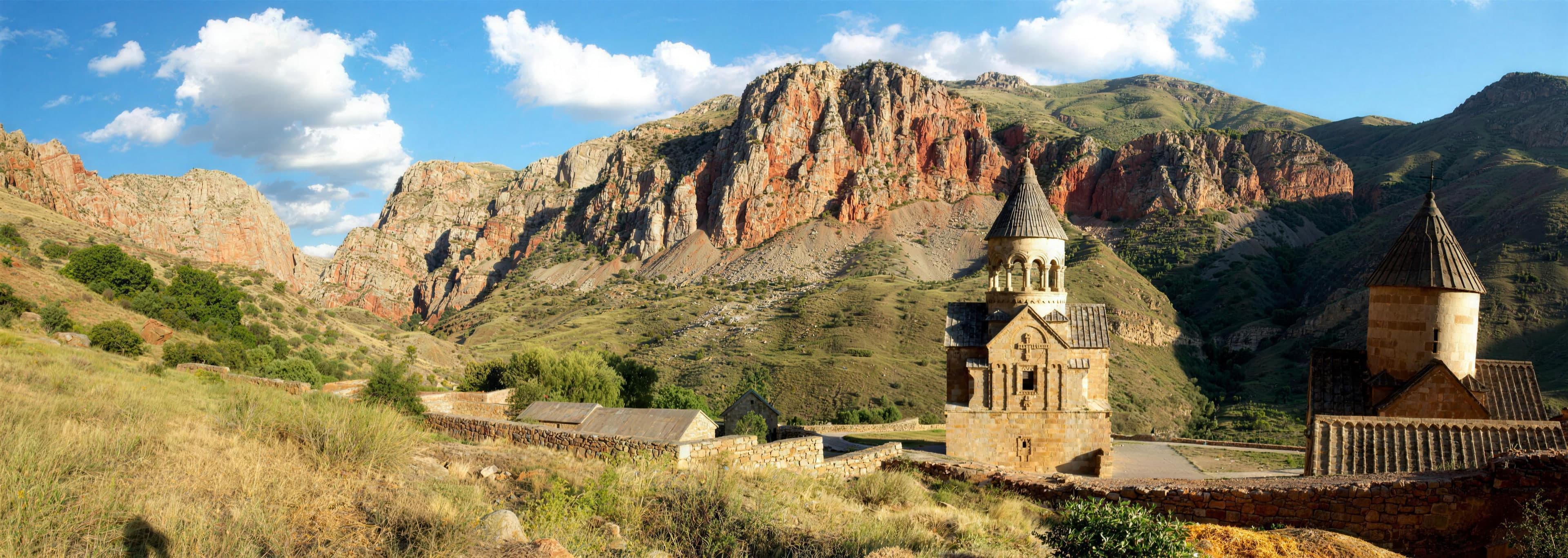
Vayots DzorMonastery
Vayots Dzor — Four days through the south: wine, geysers, stone rows and cliff monasteries
from$875per person, based on 5 guests
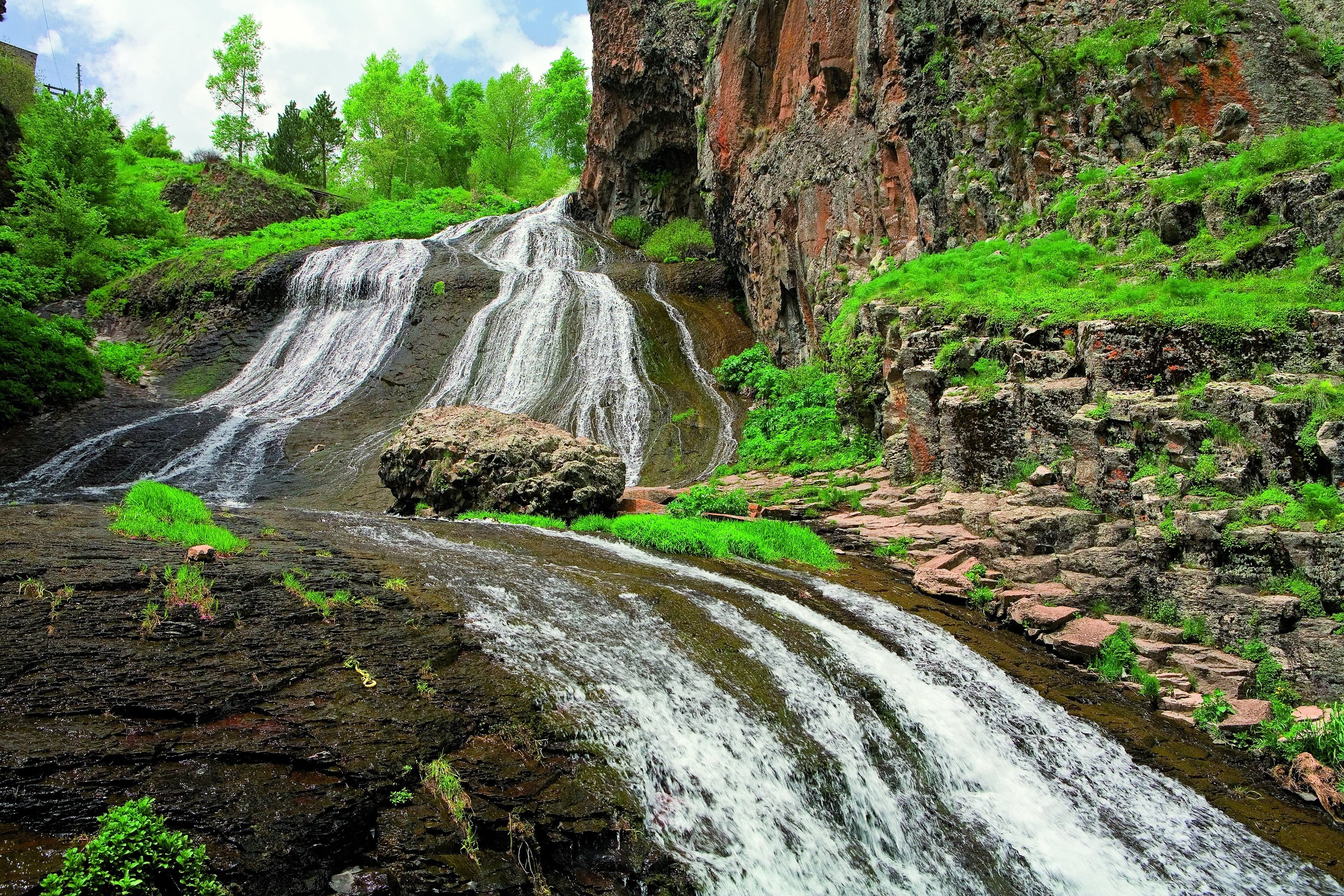
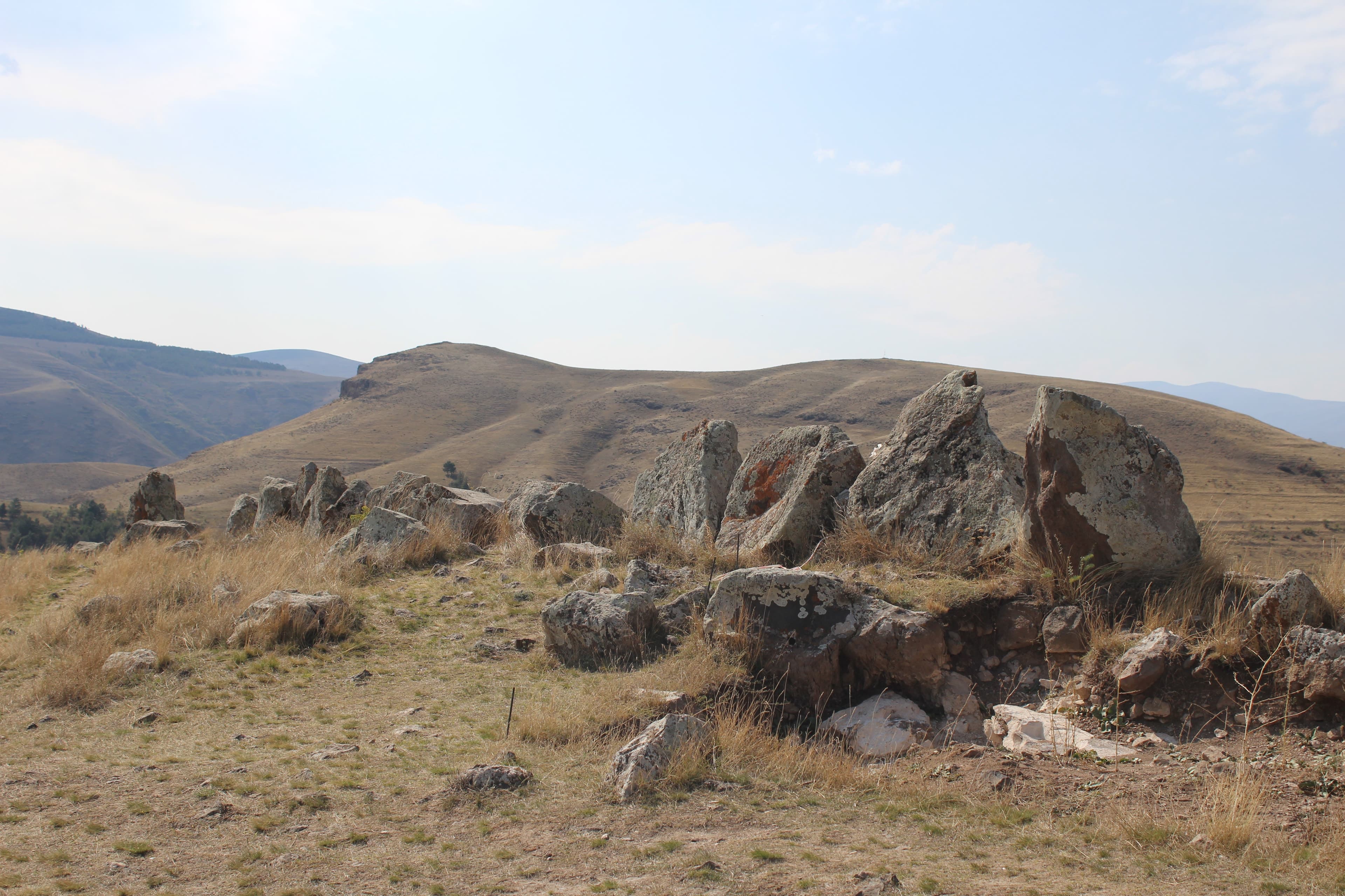
The concentrated version of our great southern route: a wine tasting in the Areni-1 cave and the honey-red monastery of Noravank on the way out of Yerevan, then the bubbling mineral geysers of Jermuk, before we reach the pierced stone rows of Zorats Karer and the Shaki waterfall near Sisian. From Goris we glide on the “Wings of Tatev” to the cliff monastery, bathe in the warm pools of Satani Kamurj and explore the cave town of Khndzoresk. For those who want to extend their trip: beyond Sisian, at 3,300 metres, the ancient petroglyphs of Ughtasar await. Four days of wine, rock and off-road tracks.
Four days, three nights, and the altitude is worked off in steps rather than in one pull: first night Jermuk at 2,080 metres, second night Sisian at 1,600, third night Goris at roughly 1,385. So the line runs downhill, and between each pair of beds lies a crossing that demands more than the destination does. Difficulty 3 of 5, and it comes not from the surface — almost all of it is sealed — but from one track and one pass. Day one hauls itself out of the lowland: the Areni-1 cave sits at 1,010 metres immediately above the trunk road, after which twelve kilometres of asphalt climb into a side gorge to Noravank Monastery at 1,591 metres.
Genuine terrain appears exactly once, at the close of the first day. From the edge of Jermuk a track pulls up to the geysers at around 2,100 metres: coarse gravel, channels the rain has cut into the surface, and streams to be driven through that stand highest in early summer. Off-road factor 4 of 5 — the highest figure of these four days and the reason the route is driven in a 4x4 at all. Low range in, air out of the tyres, gaps kept between vehicles; every crossing is checked before anyone drives it. The track finishes at the spring itself, and everything after that is a matter of the clock rather than of technique.
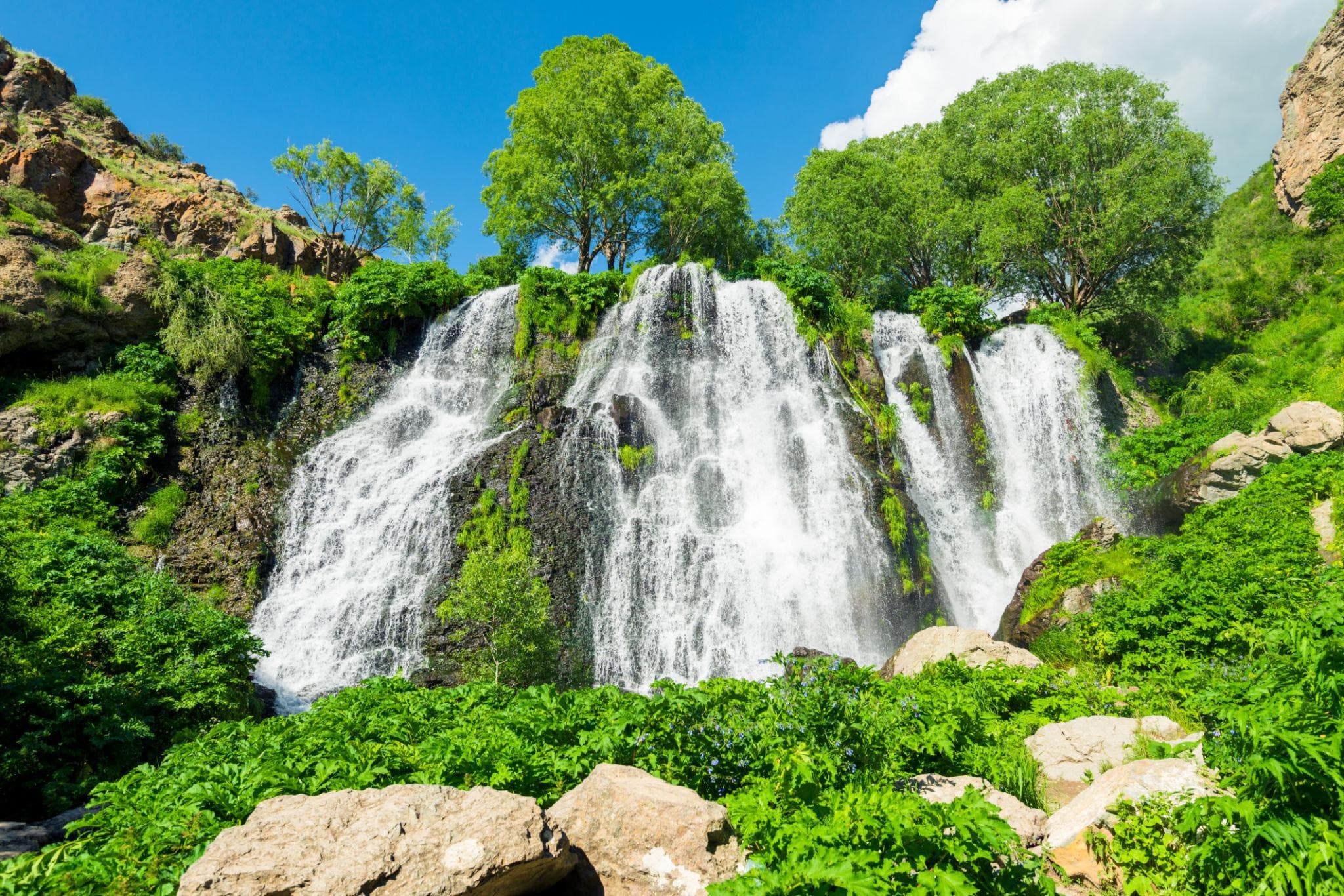
The second day is the shortest at the wheel and at the same time the one that changes province. Twenty-four kilometres drop from Jermuk to the trunk road, which then heads east and lifts itself over the provincial boundary to 2,344 metres — surfaced along its whole length and still the point that heavy snowfall can close on any day of the year. Beyond it waits Sisian, six kilometres off the highway at 1,600 metres. From there it is four kilometres of made-up road to the stone rows of Zorats Karer at 1,770 metres and seven to the Shaki waterfall at 1,764 metres, where the last few hundred metres turn to gravel.
Day three belongs to Syunik and never stops changing height: 38 kilometres of trunk road down to Goris, then across to the valley station and over the gorge by cableway to Tatev Monastery, perched at 1,580 metres. Its counterpart for a driver lies underneath — tight switchbacks, around 560 metres of fall down to Satani Kamurj, 1,020 metres above the sea, and the same road back up again. To close, a short gravel approach and stairs down into Old Khndzoresk. Day four is nothing but the way home. Where you sleep follows the comfort class, not the town: the Signature class puts you in a spa hotel, the Expedition class in a guesthouse, the Frontier class in a wild camp. Hold the wheel yourself and you take on all of it except the track, where the guide goes ahead. The season for driving it is June to October.
A wine tasting in the 6,100-year-old Areni-1 cave, then up to the honey-red monastery of Noravank; via Yeghegnadzor we reach the spa town of Jermuk by afternoon, with its bubbling mineral geysers.
A long run-up: 110 kilometres of trunk road to Areni, two kilometres out and back to the cave, twenty-four for the detour to the monastery. Past Yeghegnadzor the road to Jermuk branches off and gains the height of the spa town in barely fifty kilometres. Of the just under four hours of actual driving, only twenty minutes fall to the track up to the spring and back — short, but the one part of this day that asks for technique. Beds at 2,080 metres.
Driving time 3 h 45 · Elevation 990 → 2,080 m · highest point 2,100 m
The drive to Sisian and on to the pierced stone rows of Zorats Karer, the “Armenian Stonehenge”, and the 18-metre veil of the Shaki waterfall; overnight in Sisian, on the edge of a highland where the petroglyphs of Ughtasar lie at 3,300 metres.
The shortest driving day: 108 kilometres, around two and a quarter hours. Twenty-four kilometres downhill to the trunk road, then east over the pass at 2,344 metres and down to the turning, six kilometres short of Sisian. After that both targets sit on the doorstep: four kilometres to the stone field, seven to the waterfall, made up except for a short piece at the end. Set off early and the afternoon is yours — and at 1,600 metres the evening stays cool.
108 km · Driving time 2 h 15 · Elevation 2,080 → 1,600 m · highest point 2,344 m · tarmac 99 % / gravel 1 %
The drive to Goris, then the “Wings of Tatev” to the cliff monastery high above its gorge, a bathe in the warm pools of Satani Kamurj and, to close the day, the cave town of Khndzoresk with its swaying suspension bridge.
A dense day, three and a half hours behind the wheel, spread over five sections. First 38 kilometres of trunk road down to Goris, then across to the valley station; the cableway takes the gorge in twelve minutes and 5.7 kilometres. After that the switchbacks down to the Devil’s Bridge at 1,020 metres and the same bends back up. To finish, the gravel approach beyond Goris and roughly 400 steps to the suspension bridge below. Night at 1,385 metres.
Driving time 3 h 30 · Elevation 1,600 → 1,385 m
A long drive back via Sisian and Yeghegnadzor to Yerevan, departure.
The way home in one go: 254 kilometres of trunk road, a good four hours before any breaks. The pass comes from the other side this time, and behind it Sisian, Yeghegnadzor and the Arpa valley line up one after another until the land goes flat. Nothing about this day is hard, everything about it is long: gradients, lorries, oncoming traffic, and just under 400 metres of net descent. Leave in good time and Yerevan comes back into view in the afternoon, the evening still ahead.
254 km · Driving time 4 h 15 · Elevation 1,385 → 990 m · highest point 2,344 m · tarmac 100 %
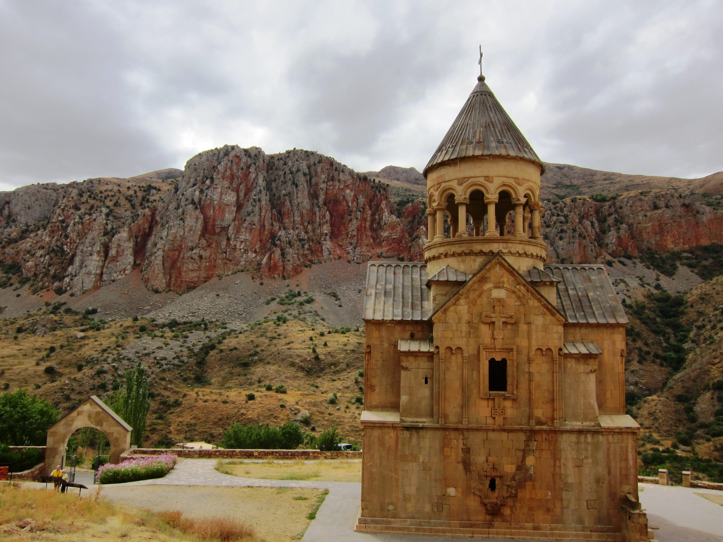
Vayots DzorMonastery
Areni, Vayots DzorWine
Jermuk, Vayots DzorGeyser
near Sisian, SyunikArchaeology
near Sisian, SyunikNature
Syunik, Southern ArmeniaMonastery
Packing list
Questions about this tour
Not inside these four days. The Ughtasar petroglyphs lie at 3,300 metres in the caldera of an extinct volcano; from the village of Ishkhanasar a highland track runs seventeen kilometres and climbs some 1,400 metres, off-road factor 5 of 5, and in practice it is open only from mid-July into September. That is a day of its own with planning of its own, not a detour slipped between two stages. It gets added at Sisian, because that is where the approach begins too.
Not always at the same strength. Upstream a power station draws water off, and what goes over the eighteen-metre basalt ledge depends on how much is being released; visitors report a dry ledge that started running again after a few minutes. The fall is at its strongest between May and July, when the meltwater from the surrounding mountains arrives; by late summer it visibly thins. For the tour that means the stop is a short one and is timed by what the day actually offers.
One section, and it is a handful: the track above Jermuk, factor 4 of 5. The rest is roads — the trunk road, the switchbacks under Tatev, the made-up approaches to the stone field and the cave — plus two gravel pieces a few hundred metres long, at the waterfall and on the rim above Khndzoresk. Difficulty 3 of 5 therefore follows less from what is under the tyres than from the sum of it: four days, three lodgings, a pass above 2,300 metres and one day that drops to 1,020 metres and has to climb back.
Unevenly, and on purpose. The first and the fourth day carry the distance: just under four and a good four hours of actual driving respectively, stops not counted. Between them lie the days you come for — around two and a quarter hours on the second, three and a half on the third, but five destinations, every one of them entered on foot. If you want the outer days eased, put a night in somewhere on the way home; compact here means the approach is driven in one piece.
Two serious places: the track above Jermuk and the bends below Tatev
Out of four days, two sections ask for full attention, and they ask for different things. Up above Jermuk it is the surface: loose gravel, scoured channels, stream crossings that stand highest in early summer; every one is paced out first, and only then does the leading vehicle roll in. Below Tatev it is the width of the carriageway: steep switchbacks, rarely room for two vehicles abreast, and buses coming the other way. Braking there goes through the engine and a small gear; the pedal by itself is not enough. In both cases the rule is the same: one behind the other, gaps kept, the lead guide in front.
Satellite communication on every route
Every group carries satellite messaging and tracking. Where the mobile network ends, the connection stays up, and help can be called from any point on the route.
Recovery gear and reserves on board
Winch, recovery straps, tools, spare fuel and spare water travel in every vehicle. In the convoy a second vehicle is always within reach, and the margin is planned before it is needed.
First aid and pre-planned routes to help
Comprehensive first-aid kits, guides trained in wilderness first aid, and routes to the nearest medical facility planned in advance for every stage.
Fixed dates or your own timing — guided or self-driven. We reply personally.