Paved
near Sisian, SyunikArchaeology
near Sisian, Syunik — A self-drive convoy into Armenia’s last wilderness
from$2,146per person, based on 5 guests
The most uncompromising of our routes: in convoy behind our lead guide over the roughest tracks of southern Armenia — drive yourself if you like. From the pierced stone rows of Karahunj we climb to 3,300 metres for the ancient petroglyphs of Ughtasar, on to the roaring Shaki waterfall, down into the valley of Goris and the cave town of Khndzoresk, on to the cliff monastery of Tatev and the warm pools of Satani Kamurj. Two nights are spent under canvas: in thin air beneath the petroglyphs of Ughtasar and on the shore of the Black Lake, Sev Lich, at 2,666 metres. Campfire, starlit sky, no signal but our satellite network — for seasoned adventurers.
Seven days, six nights, and two of them without a roof: difficulty 5 of 5 — nothing else in this programme is rated that high. The reason is not the total distance but two days on which the track alone decides. The first climbs from Sisian at 1,600 metres to the caldera above the Ughtasar rock carvings, 3,300 metres up and thus the ceiling of the week; the second runs from Goris at roughly 1,385 metres to Sev Lich at 2,666. Both days end at a tent, because up there nothing else exists. What lies between them is tame at the wheel and planned in all the same: the pierced stone rows of Zorats Karer, 1,770 metres up, sit at the end of a made-up road, and that is precisely the point — after a night in thin air, a day without scree costs you nothing.
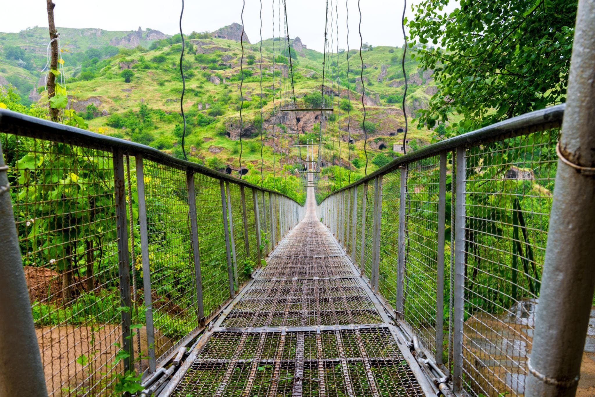
The approach is trunk road. Out of Yerevan, some 990 metres up, the M2 runs south-east, reaches Yeghegnadzor at 1,194 after 123 kilometres and then climbs onto the volcanic tableland; where Vayots Dzor gives way to Syunik its crest sits at 2,344 metres, tarred all the way to the ridge and still the first spot where a summer day turns. Sisian, 217 kilometres out from Yerevan, carries the first night. On day three that same surface returns, though only after the descent off the mountain: seven kilometres out to the Shaki waterfall — firm but for a short gravel finish, and then eighteen metres of water over a basalt lip — then thirty-eight down into the valley of Goris and on to the canyon rim above Old Khndzoresk at 1,580 metres. That is where driving stops: the cave town and its suspension bridge are reached on foot alone, steep stairs down and, at the end, the same height gain back up.
Day four is the only day between the tracks on which low range rests. Thirty-five kilometres of mountain road run from Goris to Tatev Monastery at 1,580 metres, sealed as far as the gate; if you prefer, you cross the Vorotan gorge in the cableway instead, 5.7 kilometres above a notch cut as much as 500 metres deep. The counterpart follows: tight, steep hairpins in the valley, dropping to Satani Kamurj, which sits at 1,020 metres. What is asked here is not ground clearance but a low gear, engine braking and an eye on what is coming the other way — the carriageway is narrow, and coaches use it. Seventy kilometres or so, a good two hours of actual driving, and by nightfall the vehicle is back in Goris.
What follows is the roughest part. Coarse gravel climbs to the Black Lake across the tableland below Mets Ishkhanasar; the ground softens in places after rain, mobile coverage is missing for long stretches, and the lake lies on a border whose course remains unsettled to this day — whether the drive happens is decided by the morning’s situation, not by a brochure. Day six is the longest at the wheel: back down to Goris and on south into the Shikahogh reserve, where the asphalt ends long before the edge of the forest and old forestry tracks with river fords carry on. Five hours of actual driving over a short distance. Day seven is the way home, 254 kilometres via Sisian and Yeghegnadzor. Two nights on the road belong to the tent, because at 3,300 and at 2,666 metres nothing else stands; the rest follow the comfort class: a wild camp in Frontier, a guesthouse in Expedition, a spa hotel in Signature. The vehicles travel in convoy, six guests at most, and if you drive yourself you have the lead guide directly ahead of you on both track days.
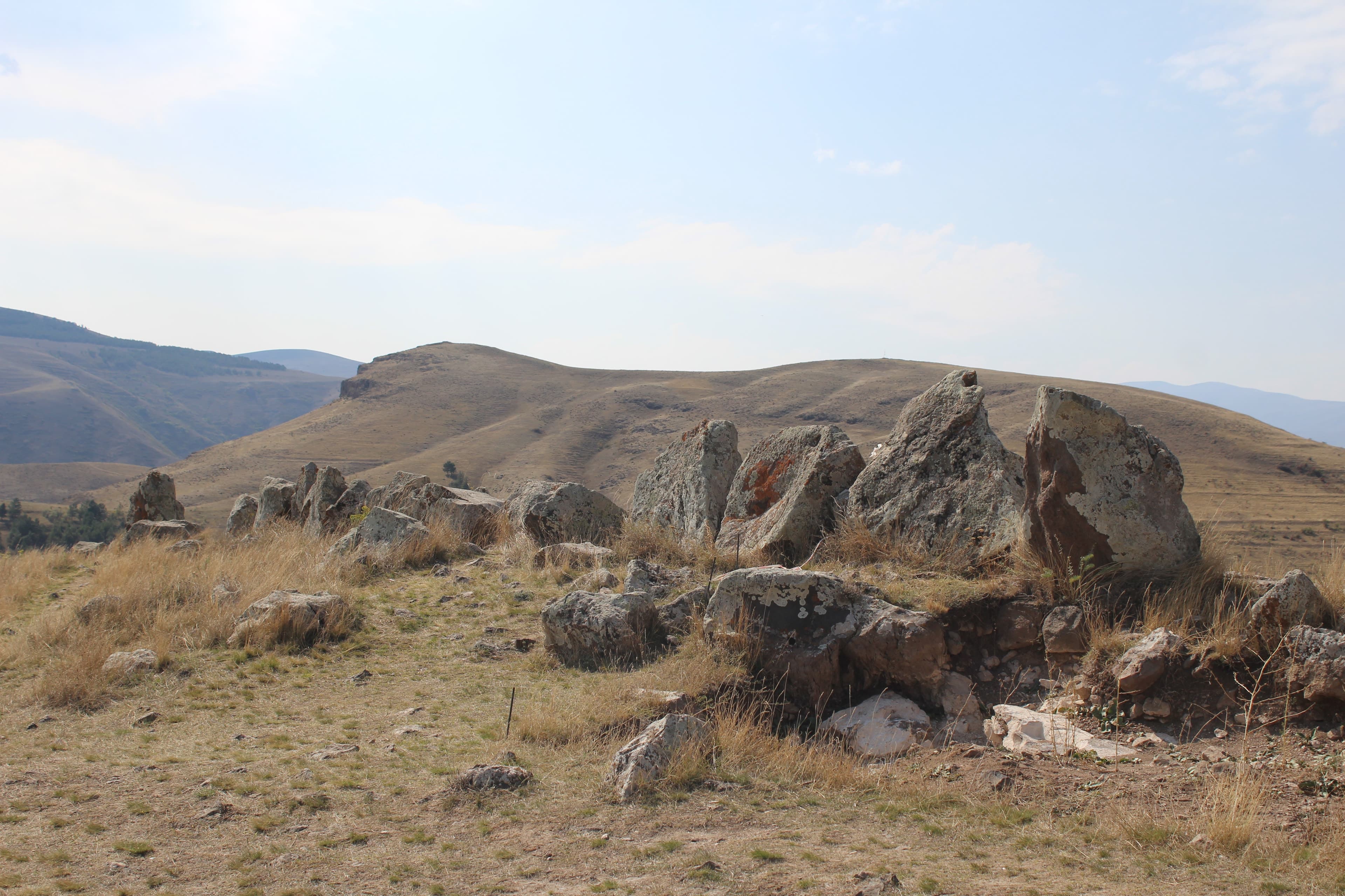
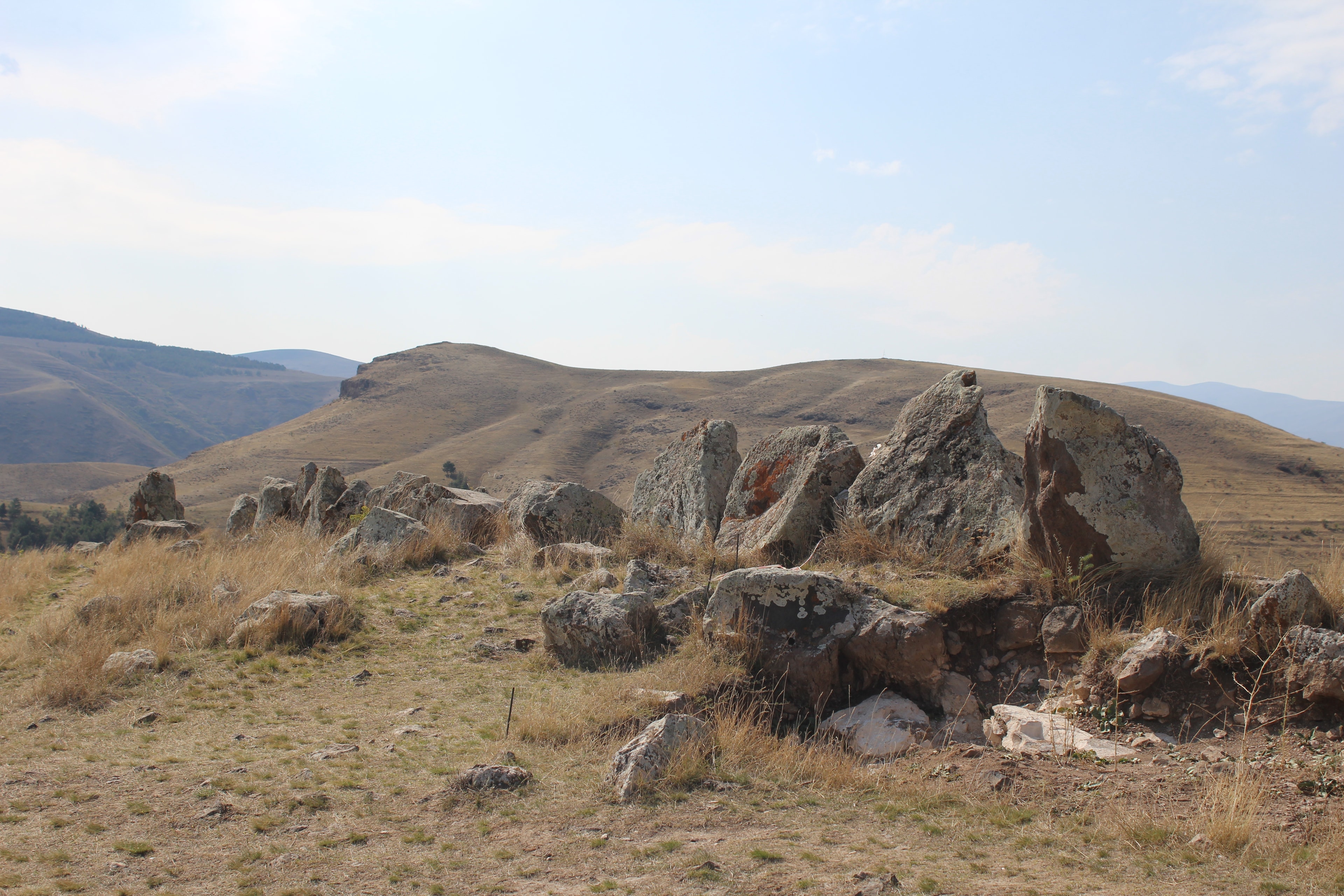
Convoy start in Yerevan: via Vayots Dzor and the provincial boundary at 2,344 metres into the Sisian steppe to the pierced stone rows of Zorats Karer, the “Armenian Stonehenge” at 1,770 metres. Overnight in Sisian.
Two hundred and twenty-five kilometres and four hours behind the wheel, every metre of it sealed. The M2 runs briskly up to Yeghegnadzor; beyond that it turns into a mountain road and crosses the crest at 2,344 metres, where the two provinces meet and the wind bites even at the height of summer. Shortly before Sisian a made-up road branches off, four kilometres up to the pierced stone rows at 1,770 metres. The night lies at 1,600 metres — the last one under a roof before the mountain.
225 km · Driving time 4 h · Elevation 990 → 1,600 m · highest point 2,344 m · tarmac 100 %
A full day over rough scree: 25 kilometres of highland track with fords and rock steps, climbing to 3,300 metres and the petroglyphs of Ughtasar — ibex, hunters and celestial symbols, pecked into the rock by shepherds millennia ago. Wild camp in thin air, far above the treeline.
Two hours of actual driving, and the day is full all the same. Out of the village of Ishkhanasar the highland track climbs some 1,400 metres in one go: loose scree, rock steps, meltwater fords that run higher in the afternoon than early on. Further up, patches of snow lie across the line into high summer. An early start, a slow pace, and by evening the camp stands at 3,300 metres, far above the treeline.
Driving time 2 h · Elevation 1,600 → 3,300 m
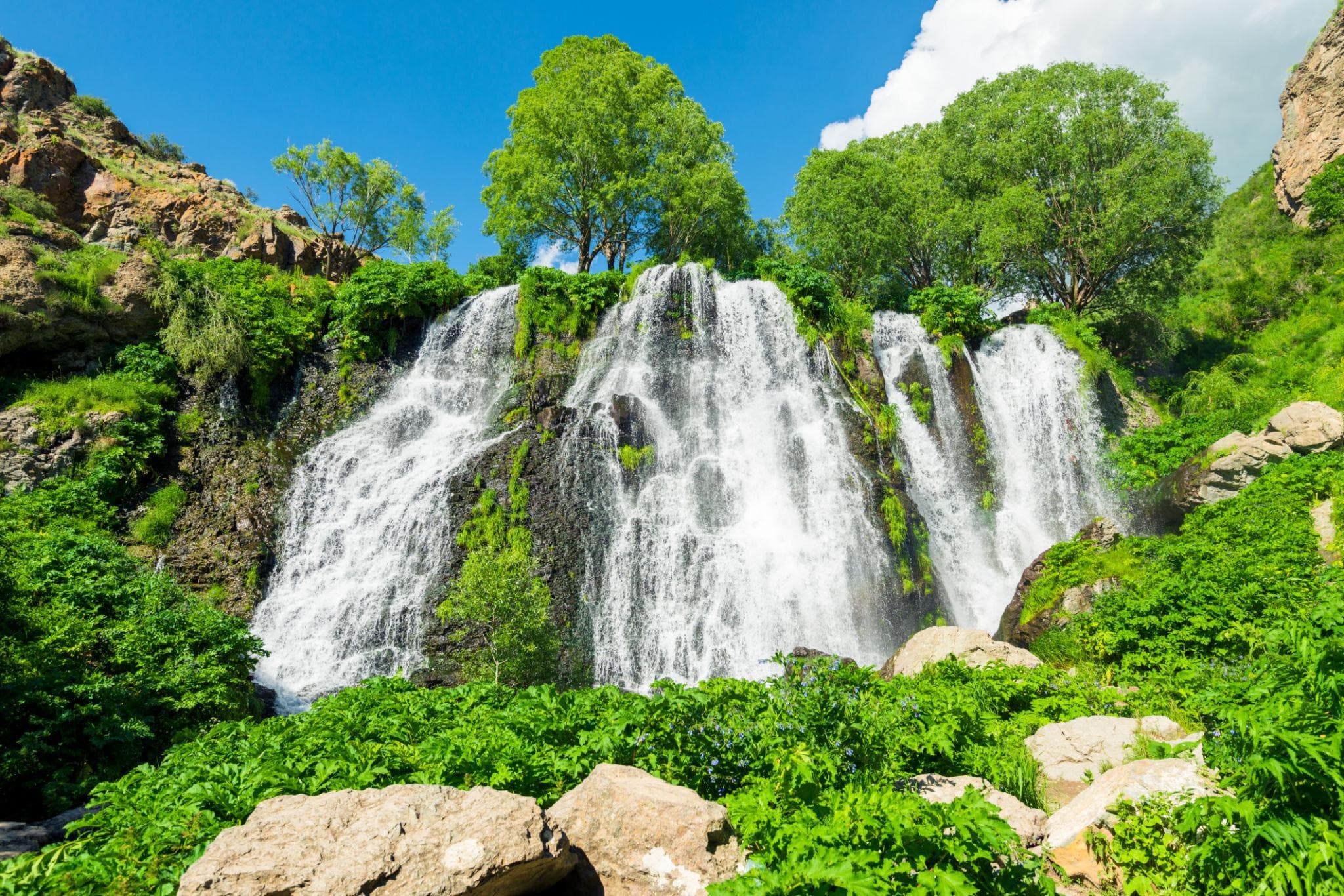
Down from Ughtasar back to Sisian, then to the 18-metre veil of the Shaki waterfall and down the trunk road into the valley of the Vorotan at Goris — closing with a walk through the cave town of Khndzoresk and across its swaying suspension bridge.
Four hours at the wheel, and the first of them go back down the same track. At the bottom the surface changes: seven kilometres out to the waterfall, the last few hundred metres gravel, then back onto the trunk road and thirty-eight kilometres down into the valley of Goris, around 1,385 metres. The closing point is the canyon rim above the cave town: the approach is made up, everything beyond it is stairs, paths and a bridge that moves with every step.
Driving time 4 h · Elevation 3,300 → 1,385 m
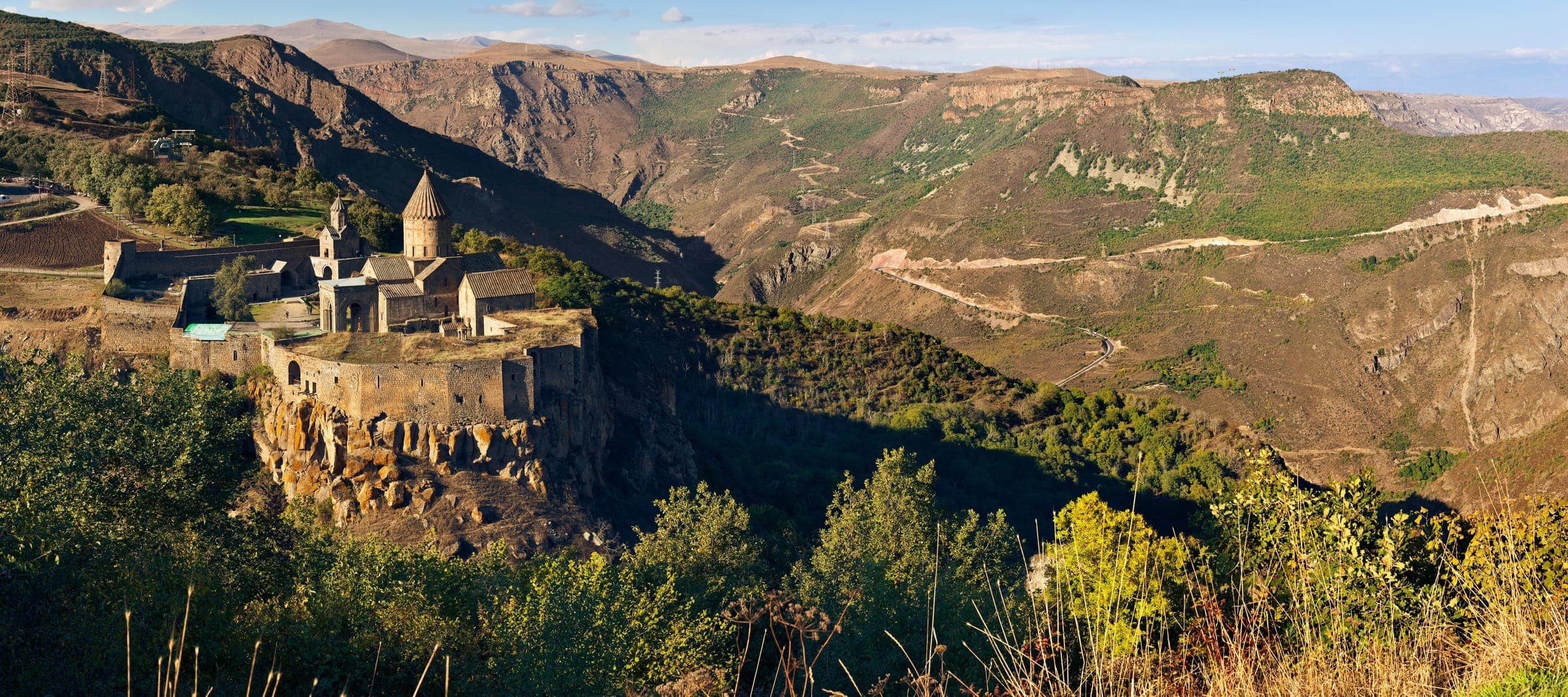
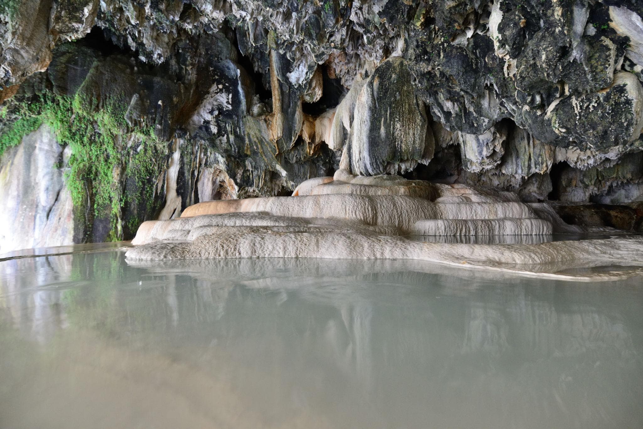
A drive to the cliff monastery of Tatev, high above its gorge, followed by a bathe in the warm travertine pools of Satani Kamurj.
Seventy-one kilometres, a good two hours, and no off-road section in between. Thirty-five of them are mountain road up to the monastery at 1,580 metres, sealed as far as the gate; the cableway over the gorge is an option, not a condition. Then the hairpins down to 1,020 metres and the travertine bridge, some 560 metres of descent in one run — low gear, engine braking, an eye on oncoming traffic. Swim kit pays off: the springs come out of the rock at around 25 degrees.
71 km · Driving time 2 h 15 · Elevation 1,385 → 1,385 m · highest point 1,580 m
Two hours of rough highland track, boggy stretches and steep ramps bring us to Sev Lich, the Black Lake at 2,666 metres near the border with Azerbaijan — about as remote as it gets. Wild camp on the shore.
Two hours of actual driving, and nearly all of it is track. Out of Goris coarse gravel climbs onto the tableland below Mets Ishkhanasar; steep ramps alternate with long, scoured straights, and after rain the ground softens in places. Over long stretches up here there is no signal. At the top the lake sits at 2,666 metres, a good kilometre and a half long and not eight metres deep; the camp is pitched by the shore. The night turns cold even in mid-August.
Driving time 2 h · Elevation 1,385 → 2,666 m
The drive back from Sev Lich to Goris, then into the primeval forest of the Shikahogh reserve: fords across the Shikahogh river, washed-out forestry tracks and ancient upland woodland up to 2,800 metres.
Five hours, the longest day at the wheel — and the distance does not explain it. First back down the track to Goris, then on south, where the asphalt stops long before the reserve. What remains are old forestry roads: steep, loose, scoured in places, plus several fords through the river, whose level shifts with the season. Short distance, long hours — water and gradient set the pace. Goris again in the evening, and a roof again.
Driving time 5 h · Elevation 2,666 → 1,385 m
A long drive back via Sisian and Yeghegnadzor to Yerevan, vehicle handback.
Two hundred and fifty-four kilometres, a good four hours, the same trunk road in reverse. Up out of Goris onto the tableland, through Sisian, then once more over the crest at 2,344 metres — in clear weather the look back across the whole week, in fog the place where you ease off. From Yeghegnadzor the M2 runs briskly again, and by afternoon the vehicle stands at 990 metres in Yerevan. Handback, and the dust stays on.
254 km · Driving time 4 h 15 · Elevation 1,385 → 990 m · highest point 2,344 m · tarmac 100 %
near Sisian, SyunikArchaeology
near Sisian, SyunikNature
Syunik, Southern ArmeniaMonastery
Vorotan gorge, SyunikNature
SyunikLake
near Goris, SyunikCave town
Packing list
Questions about this tour
That two of the seven days lie almost entirely on unmade ground and end in a tent at 3,300 and 2,666 metres respectively. Reaching the caldera above the Ughtasar rock carvings means gaining some 1,400 metres over the seventeen kilometres out of Ishkhanasar, on loose scree, rock steps and meltwater; the route to Sev Lich is longer, softer and boggy in places after rain. No racing driver is wanted here, patience is: walking pace, low range, lowered tyre pressure, ground clearance — and the willingness to get out and check a spot on foot before the wheel takes it. How the convoy is backed up is set out in the safety standards.
Two nights under canvas, because at 3,300 and at 2,666 metres there is nothing else: once below the rock-art field, once by the lakeshore, each time wherever ground, wind and water allow on the day. Nobody promises you a fixed spot, and that is more honest than a map with a cross on it. The remaining nights hang on the comfort class you book and not on the place: in Frontier they stay under canvas too, Expedition puts you under a guesthouse roof, Signature into a hotel with a spa. Camping gear and catering travel with the convoy; a sleeping bag for cold nights is better brought yourself.
Yes, but not on your own. The Shikahogh reserve is a strict protected area, IUCN category Ia; you enter accompanied and on the existing tracks. In driving terms that means old forestry roads — steep, loose, scoured in places — and several fords through the river; off-road factor 4 of 5. That is exactly where day six gets its driving time from: five hours for a distance that looks small on the map. The nearest town is Kapan, and inside the protected area nothing is sold.
Because on the two track days each vehicle is the other one’s fallback. Two or three vehicles can still be marshalled, turned, recovered and kept in sight on a narrow line; twice that many turn the convoy into a column that waits at the ford and runs into itself up in the thin air. Six guests are therefore the ceiling and not the target — smaller is always possible, and nobody outside your party ever joins the trip. On the sealed stages in between you notice little of this; there, group size is a question of comfort rather than safety.
Thin air, fords and two nights without a roof
Two days of this week stand on their own. Both end above 2,600 metres, both begin on a line no sign marks. Up in the caldera it is 3,300 metres: every task takes longer there, and a blue morning can turn to sleet by noon. Before every ford somebody gets out and walks it; before every rock step the group looks at where the wheel will land; and whether a snowfield still bears is settled then, not the evening before. Nobody drives this alone — the vehicles go in line, spaced apart, the lead guide out front, the next vehicle within reach. Anyone who notices a headache, nausea or a sleepless night says so at once: then the answer is downhill, starting from wherever the group happens to stand.
Satellite communication on every route
Every group carries satellite messaging and tracking. Where the mobile network ends, the connection stays up, and help can be called from any point on the route.
Recovery gear and reserves on board
Winch, recovery straps, tools, spare fuel and spare water travel in every vehicle. In the convoy a second vehicle is always within reach, and the margin is planned before it is needed.
First aid and pre-planned routes to help
Comprehensive first-aid kits, guides trained in wilderness first aid, and routes to the nearest medical facility planned in advance for every stage.
Fixed dates or your own timing — guided or self-driven. We reply personally.