Paved
Syunik, Southern ArmeniaMonastery
Syunik, Southern Armenia — A cableway, a cave town and a bathe at the Devil’s Bridge — in three days
from$680per person, based on 5 guests
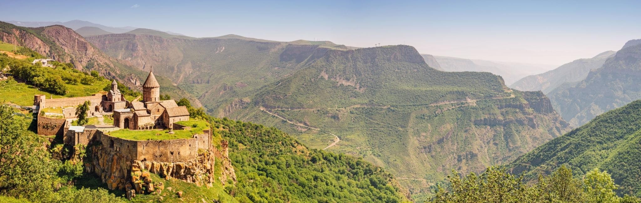
The compact route into Armenia’s deep south: we taste Areni Noir in the 6,100-year-old Areni-1 cave and climb to the honey-red monastery of Noravank against its glowing cliffs, before the drive crosses the pass at 2,344 metres into the heart of Syunik. From Goris we glide over the gorge on the “Wings of Tatev” to the cliff monastery, bathe in the warm pools of Satani Kamurj and explore the abandoned cave town of Khndzoresk with its swaying suspension bridge. Three days, one corridor, no detours.
Three days, two nights, and what this route demands lies in distance and altitude rather than in the surface under the tyres. The M2 leaves Yerevan, some 990 metres up, heading south-east; as far as Yeghegnadzor, 1,194 metres up and 123 kilometres from the start, it stays a brisk trunk road. After that it turns into a mountain road: it climbs onto the volcanic plateau and crosses the provincial boundary between Vayots Dzor and Syunik at 2,344 metres. The pass is sealed right to its crest and still the place where the weather turns first — snow up there is possible into early summer. Beyond it the road sinks to Sisian, 1,600 metres, 217 kilometres out from Yerevan. On day two it holds the plateau before dropping to Goris at roughly 1,385 metres, the town from which the entire south is worked.
Surface is barely an issue on this route; the state of the road is. The M2 is the country’s north-south axis, sealed throughout and two lanes wide; the planned new corridor between Artashat and Sisian exists only as a preliminary design, so what you drive is the old alignment with its bends, its gradients and its long-distance traffic. The two detours of day one are sealed as well: the Areni-1 cave opens at 1,010 metres just above the trunk road, and the spur to Noravank Monastery runs twelve kilometres into a side gorge and ends at 1,591 metres. Anyone holding the wheel learns one figure on the first day above all: the south is a long way off.
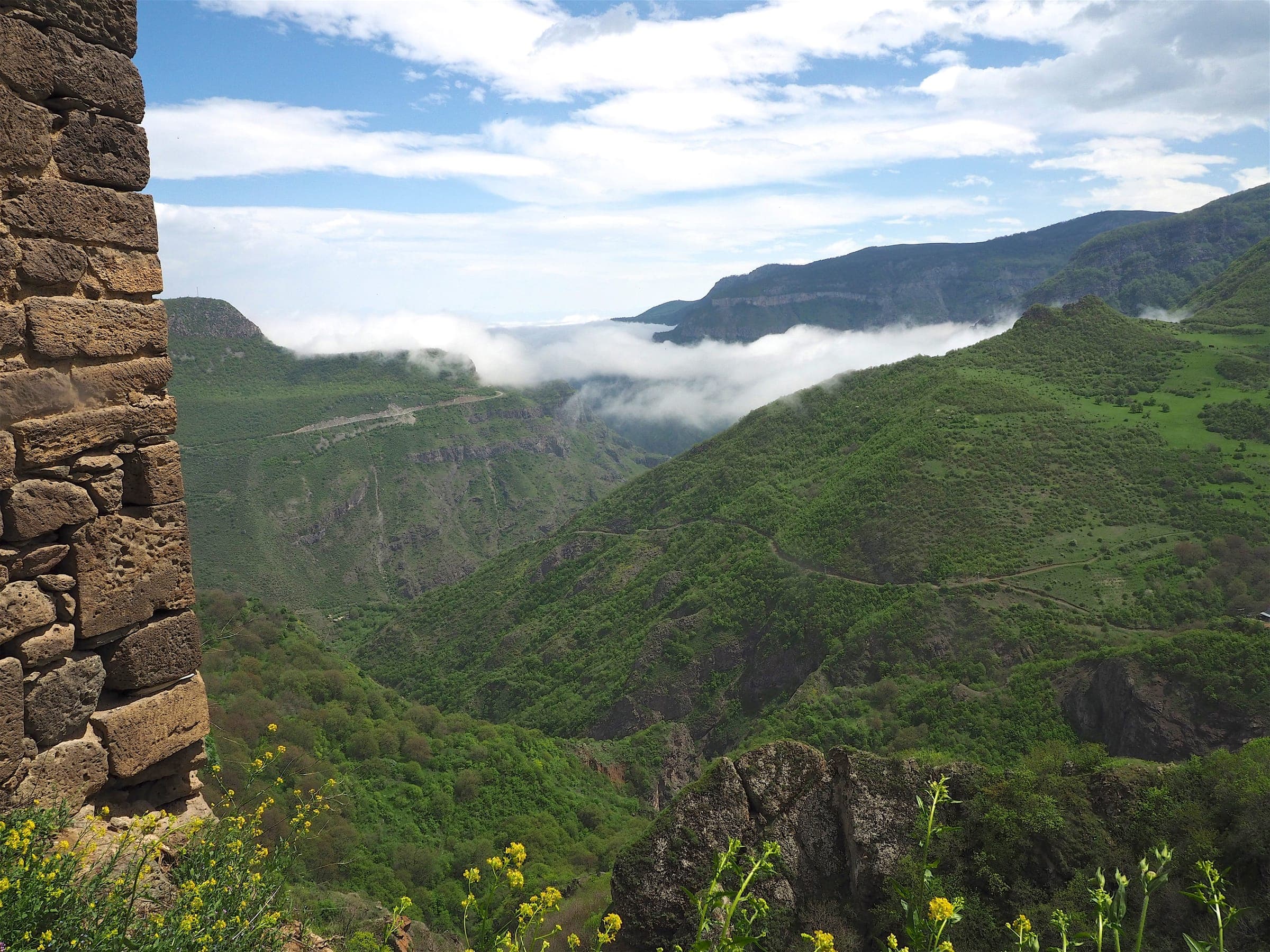
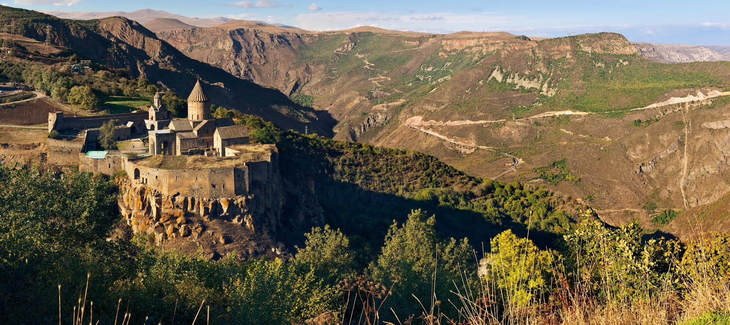
Day two is the one that is about driving. From Goris it is 35 kilometres to the valley station at Halidzor, and from there the cableway floats 5,752 metres across the Vorotan gorge to Tatev Monastery at 1,580 metres — twelve minutes for a link the road through the gorge below needs about forty minutes to cover. That road comes next: tight, steep hairpins down to Satani Kamurj at 1,020 metres, some 560 metres of descent in one go. What works here is not low range but a low gear; ground clearance hardly matters, whereas seeing far ahead matters a great deal, because the valley road is narrow and oncoming traffic is the rule. There are no fords anywhere on the route.
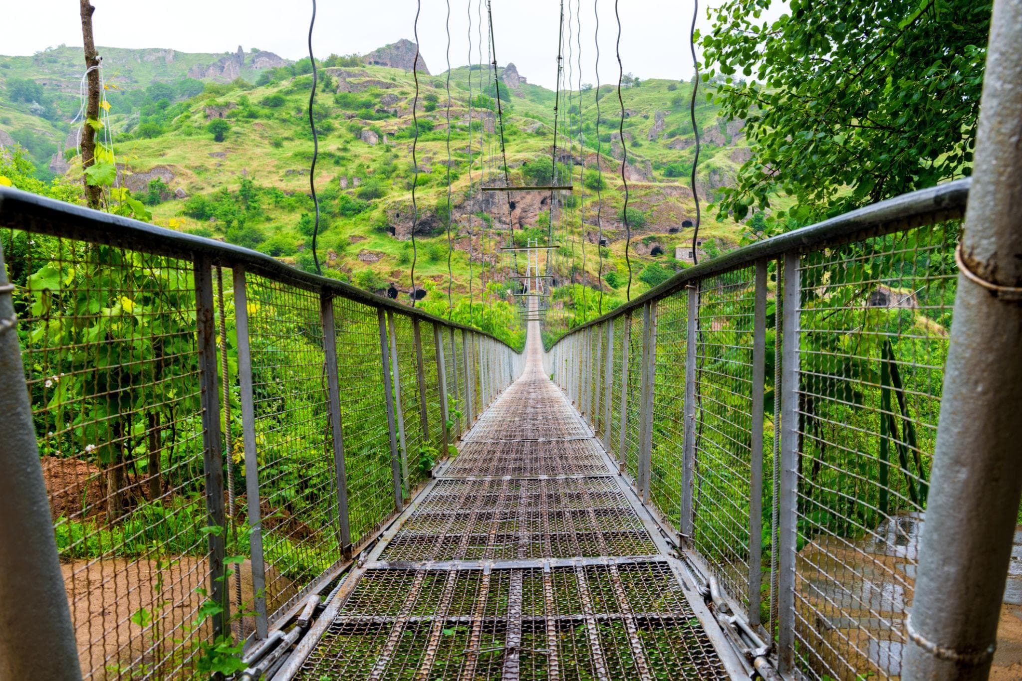
The one gravel stretch worth the name comes late in the afternoon of the same day: from the turning at Khndzoresk a compacted gravel track runs to the car park above the gorge of Old Khndzoresk, passable for any vehicle when dry and, after rain, the moment when four-wheel drive and ground clearance make the difference. From there it continues on foot: about 400 steps down to the suspension bridge, 160 metres long and a good sixty metres above the floor of the gorge. The night’s lodging hangs on the class booked rather than on the stage: guesthouses in Sisian and Goris in the Expedition class, a spa hotel in the Signature class, a wild camp in the Frontier class. Self-drivers take on practically all of this route; what it asks for is not off-road skill but stamina and an eye for bends. The driving season runs from May to October.
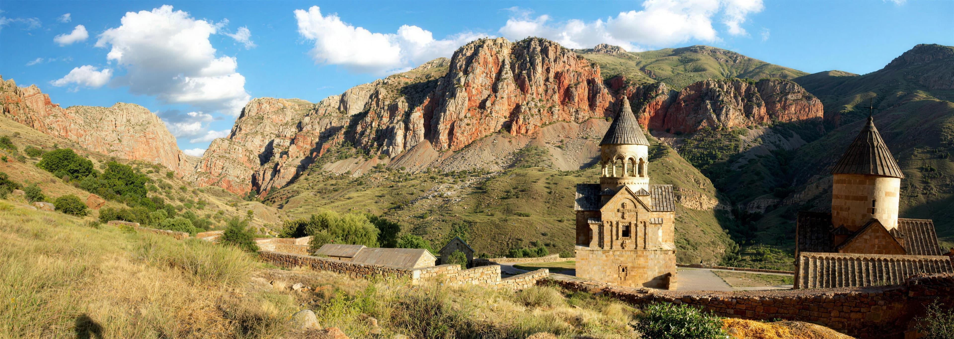
A wine tasting in the 6,100-year-old Areni-1 cave, then up to the honey-red monastery of Noravank against its glowing cliffs; the drive continues via Yeghegnadzor and the pass at 2,344 metres to Sisian, our first night on the edge of Syunik.
Around 250 kilometres, a good four hours of actual driving, not a metre of gravel. As far as Areni the M2 stays a fast trunk road; the stop at the cave costs two kilometres, the spur to Noravank twenty-four there and back. Past Yeghegnadzor the mountain part begins, 94 kilometres to Sisian, with the pass at 2,344 metres in between, windy and cool even in July. By evening the vehicle stands in Sisian at 1,600 metres.
250 km · Driving time 4 h 15 · Elevation 990 → 1,600 m · highest point 2,344 m · tarmac 100 %
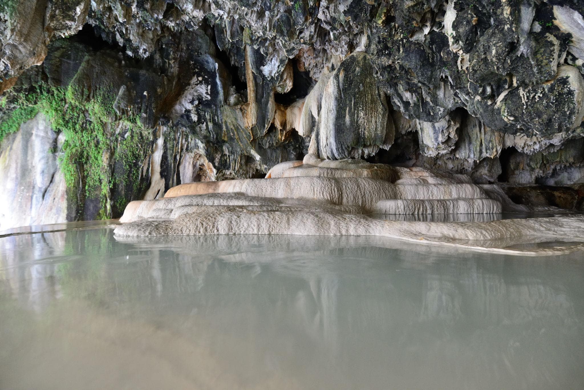
Down from Sisian to Goris, then over the Vorotan gorge to the cliff monastery of Tatev high above it and a bathe in the warm pools of Satani Kamurj; the day closes at the cave town of Khndzoresk and its swaying suspension bridge.
The shortest driving day and the densest: a good three and a half hours at the wheel, split over four sections. First 45 minutes down from Sisian to Goris, then 35 kilometres to the valley station at Halidzor and twelve minutes of cableway over the gorge. Next the hairpins down to the Devil’s Bridge, 560 metres lower, and the same road back up. Finally the gravel approach to Old Khndzoresk, some 400 steps and the suspension bridge. Night in Goris.
Driving time 3 h 30 · Elevation 1,600 → 1,385 m
A long drive back via Sisian and Yeghegnadzor to Yerevan, departure.
Two hundred and fifty-four kilometres of asphalt in one go, a good four hours without the breaks. The M2 climbs from Goris back onto the plateau, takes the pass from the east this time and runs via Sisian and Yeghegnadzor down to the lowland. This is the day that tires rather than tests: long pulls, lorries on the trunk road, 395 metres of net descent. Set off early and you are back in Yerevan by the afternoon.
254 km · Driving time 4 h 15 · Elevation 1,385 → 990 m · highest point 2,344 m · tarmac 100 %
Syunik, Southern ArmeniaMonastery
Vorotan gorge, SyunikNature
near Goris, SyunikCave town
Vayots DzorMonastery
Areni, Vayots DzorWine
SyunikMountain pass
Packing list
Questions about this tour
The cableway is certified for winds up to 50 kilometres an hour; above that it is shut down, which happens in spring and autumn. Then the road takes over: a sealed mountain road runs right up to the monastery gate, and down in the gorge the switchback route covers the same link in about forty minutes instead of twelve. The day loses time that way, but no destination — we simply drive the hairpins we would otherwise only take down to the Devil’s Bridge twice.
The crossing at 2,344 metres is the one place on this route where the season really has a say. Sealed it is; reliably open all year it is not — heavy snowfall can close it at any time, and May and October are exactly the edges. Lower down that changes little: Tatev, the gorge and Khndzoresk are reachable from April to November. So the call is made in the morning off the forecast, not weeks ahead; if the crossing is out, the day shifts, not the tour.
The vehicle reaches the car park on the rim of the gorge; everything after that is steps. About 400 of them lead down to the suspension bridge, which spans 160 metres a good sixty metres above the bottom and moves noticeably under every footfall. Anyone uneasy with heights will notice it there. The way back is the same route uphill, and that is the real effort of the afternoon. If you prefer to stay on top, the whole cave town is in view from the rim.
Four and a quarter hours on day one, three and a half on day two, another four and a quarter on day three — actual driving, stops not counted. The two outer days are pure distance, 250 and 254 kilometres of trunk road respectively, because Syunik simply lies at the other end of the country. The middle day drives least and shows most. If you want the distance eased, add a day and split the return; three days is the compact version, not the comfortable one.
The hairpins between Tatev and the floor of the gorge
The one section that asks for attention is the valley road below Tatev: tight, steep switchbacks, some 560 metres of descent in one go and a carriageway that is often too narrow for two vehicles. Braking is done on the engine and a low gear, not on the pedal alone, and the eye goes beyond the next bend. In the wet, or where loose material lies in the curves, the convoy opens up the gaps; meet a bus and you look for the next wide spot rather than improvising in reverse.
Satellite communication on every route
Every group carries satellite messaging and tracking. Where the mobile network ends, the connection stays up, and help can be called from any point on the route.
Recovery gear and reserves on board
Winch, recovery straps, tools, spare fuel and spare water travel in every vehicle. In the convoy a second vehicle is always within reach, and the margin is planned before it is needed.
First aid and pre-planned routes to help
Comprehensive first-aid kits, guides trained in wilderness first aid, and routes to the nearest medical facility planned in advance for every stage.
Fixed dates or your own timing — guided or self-driven. We reply personally.