Paved UNESCO
LoriMonastery
Lori — Forest lakes, mist-veiled monasteries and Armenia’s largest waterfall — in four days
from$875per person, based on 5 guests
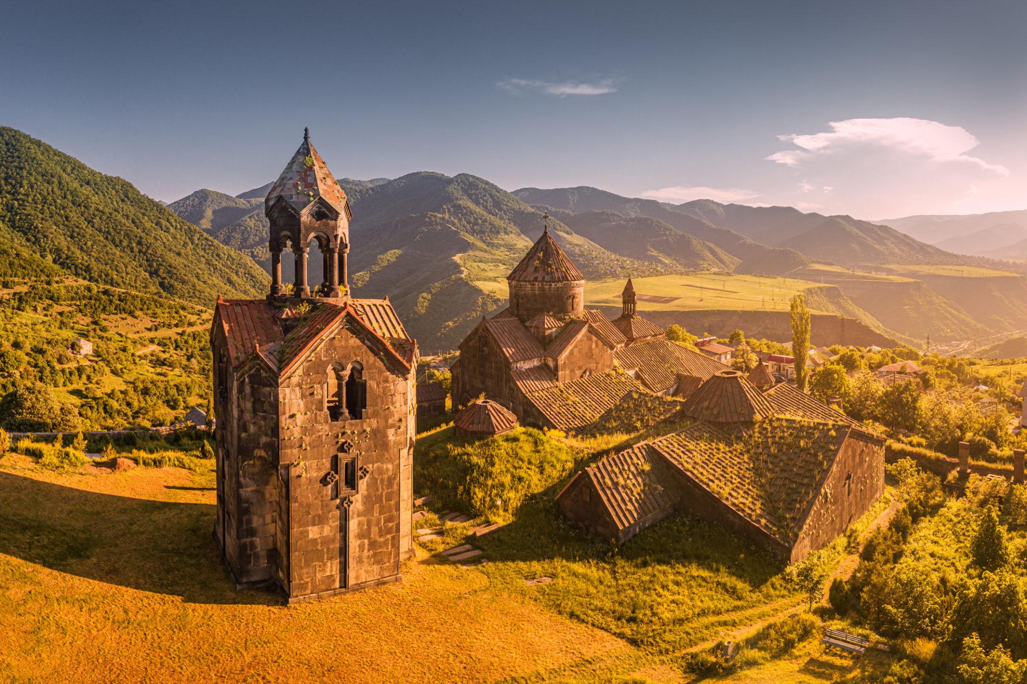
The green north of Armenia, reached by none of our other routes: we leave Yerevan for Lake Sevan, its blue highland water unfolding beside the road for a good half hour, then arrive in Dilijan, wrapped in dense beech and oak forest — Armenians affectionately call it their “little Switzerland”. In Dilijan National Park we walk through Caucasian forest, past bear tracks and across stream crossings, before the path climbs to Haghartsin monastery, tucked away in its oak grove. On the second day the drive drops into the Debed valley and Lori: in the village of Haghpat, home to a UNESCO World Heritage monastery, we wander between basalt walls high above the gorge, then continue to the sister monastery of Sanahin and the fortified monastery of Akhtala. On the third day we leave the monasteries behind and follow the Dzoraget canyon up onto the open highland, where Trchkan — Armenia’s largest waterfall at 23.5 metres of free fall — plunges alone over the rock edge. Nights are spent in Dilijan and twice in Alaverdi — green, cool, a counterpoint to the arid south.
Four days in the north, and the first of them starts by gaining height. Out of Yerevan, 990 metres or so, the M4 runs northeast; after 65 kilometres Lake Sevan opens out beside the road, its surface measured at 1,900 metres in 2012, and beyond it the road keeps winding up towards the pass above Semyonovka, a good 2,100 metres and the highest ground of the whole loop. Since 2003 a tunnel of 2,257 metres has taken the sharpest hairpins out of the descent to Dilijan; the old pass road above it is still in place. Behind it the country changes completely: Dilijan sits between roughly 1,260 metres on the valley floor and 1,500 metres on the slopes, takes about 650 millimetres of rain a year on close to a hundred days, and stands in beech and oak forest. That is what sets this route apart — here the subject is clay, not dust.
Dilijan National Park covers 240 square kilometres and reaches from 1,070 to 2,300 metres; its main axis is the sealed M4 running straight through it. The interest lies in the side routes: coarse forest tracks with deep potholes, stream crossings without a bridge, and after rain a surface that turns to clay and makes the ruts greasy. Fifteen to twenty kilometres inside the park cost an hour to an hour and a half — distance says little here, condition says everything. Four-wheel drive and some 200 millimetres of ground clearance are the minimum on those side routes; on top of that we lower tyre pressure, because a wider contact patch does more on soft forest ground than any amount of power. Above 1,600 metres snow or meltwater often sits in the ruts until the end of May. Haghartsin Monastery at 1,430 metres, by contrast, is asphalt: eighteen kilometres out of Dilijan, narrow at the end, with a car park at the entrance.
Day two is the opposite case and the longest at the wheel, without a metre of gravel. From Dilijan the road runs via Vanadzor at 1,350 metres onto the M6 towards Tbilisi, which drops into the valley with the Debed. The river forms at Dzoragyukh at 920 metres out of the Dzoraget and the Pambak; in Alaverdi the vehicle stands at 715 metres, at the fortified monastery of Akhtala at 690 — the lowest ground of this tour. What the day asks for is hairpins, not low range: up to Haghpat at 1,000 metres and to Sanahin at 1,016 metres a short, steep switchback road climbs from the valley onto the plateau, both surfaced right up to the car park. Only beyond the gate does it become walking, over old, uneven paving.
Day three turns west. The valley road through the Dzoraget canyon is sealed and open all year, while the river beside it lies up to 300 metres down in the basalt; Stepanavan above it stands at just under 1,400 metres. The off-road part comes afterwards: from the turn at Shirakamut, some ten kilometres of gravel and field track to the Trchkan waterfall, crossing the Chichkhan several times at shallow fords, with the final stretch running over damp river sand that gives way after rain. In winter that approach is closed — which is why the tour runs from May to October. Guided, we travel in convoy, the lead guide taking the forest track and the fords first; driving yourself means handling the trunk roads alone and staying behind the guide vehicle in the terrain, after the off-road training given on departure. Where you sleep depends on the comfort class, not on the town: Signature means a hotel with a spa, Expedition a guesthouse, Frontier a camp pitched where the day ends — three nights, one in Dilijan and two in Alaverdi. The fleet page sets out what the vehicles carry for this; the safety page sets out what holds in the terrain.
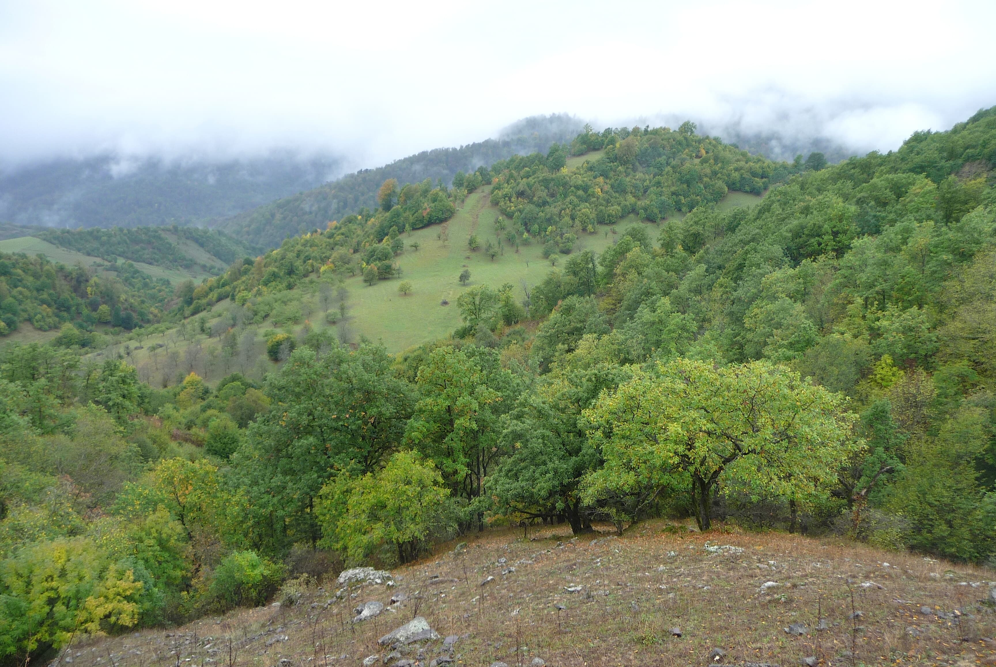
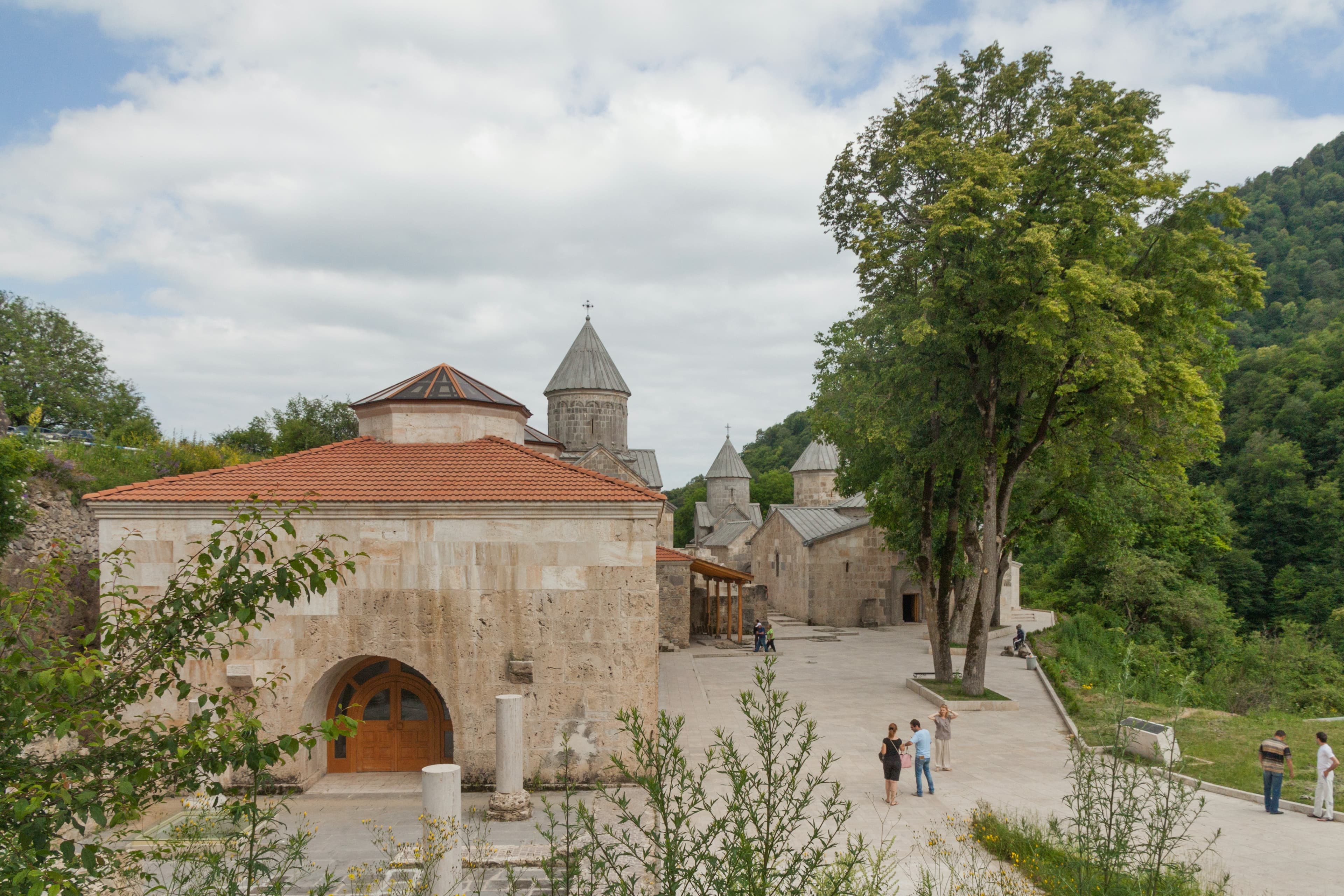
The drive from the highland waters of Lake Sevan into the forests of Dilijan: in the national park we follow paths between beech trees and stream crossings, then climb to Haghartsin monastery, tucked into a clearing among the oaks. Overnight in Dilijan.
Two and three quarter hours of actual driving, and no leg longer than an hour. It is 65 kilometres of M4 to Lake Sevan, then the road climbs into the pass country above Semyonovka at a good 2,100 metres and drops beyond it in hairpins to Dilijan. In the park the surface changes: forest track instead of asphalt, potholes, stream crossings without a bridge, clay after rain — low range engaged, tyre pressure lowered. The monastery approach afterwards is asphalt again, eighteen kilometres, narrow at the end.
Driving time 2 h 45 · Elevation 990 → 1,260 m
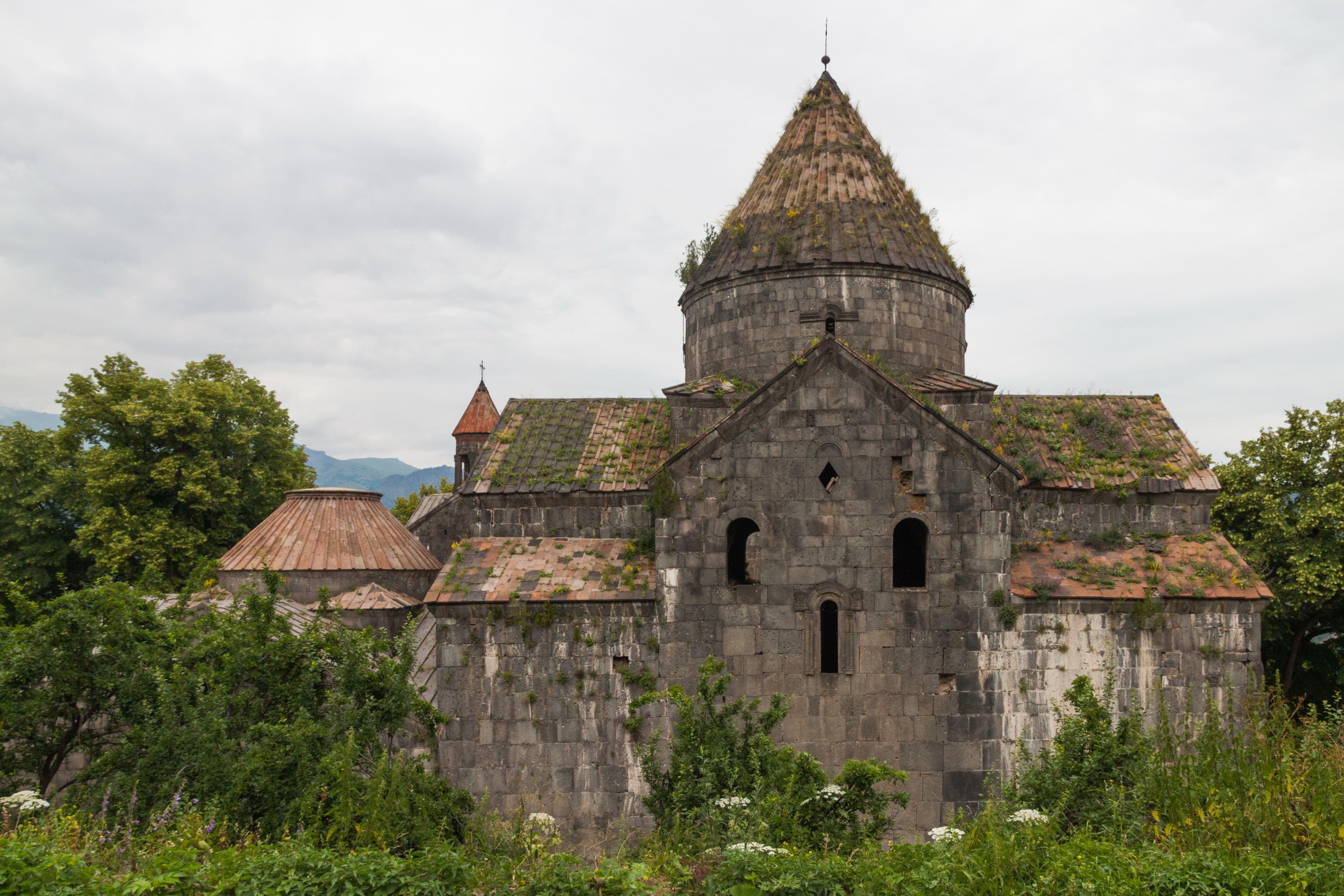
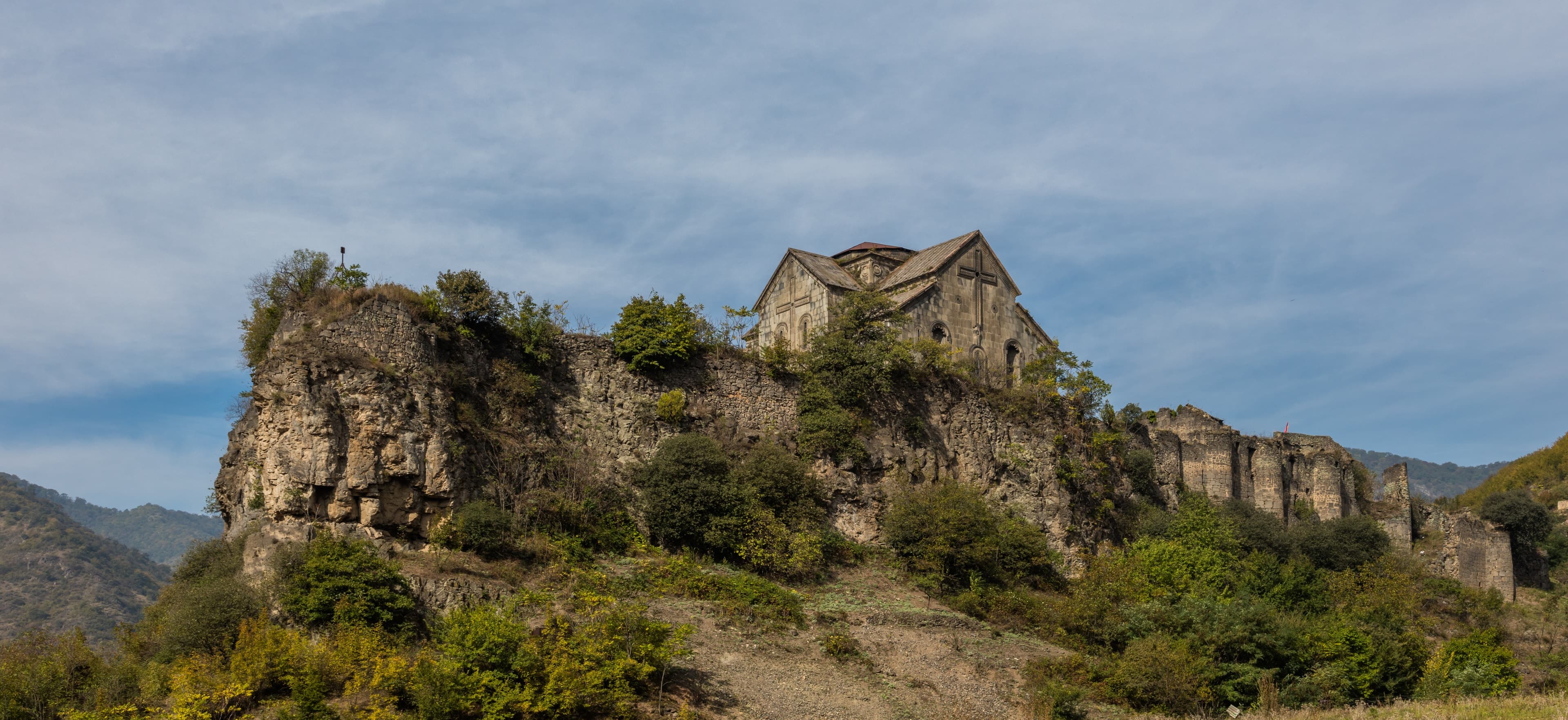
Down into Armenia’s deepest valley: in the village of Haghpat, home to a UNESCO World Heritage monastery, we wander between basalt walls high above the Debed gorge, then continue to the sister monastery of Sanahin and the fortified monastery of Akhtala, which has guarded the valley for centuries. Overnight in Alaverdi.
The longest driving day, three and three quarter hours, and still not a metre of gravel. From Dilijan via Vanadzor at 1,350 metres onto the M6, then down with the Debed: Alaverdi lies at 715 metres, the fortified monastery at 690. Short spurs with steep hairpins climb to Haghpat and Sanahin, some 300 metres above the valley floor; the turn for Akhtala leaves the M6 almost level. Engine braking and gear choice are what matter, not all-wheel drive, and every approach is surfaced as far as the car park.
Driving time 3 h 45 · Elevation 1,260 → 715 m · tarmac 100 %
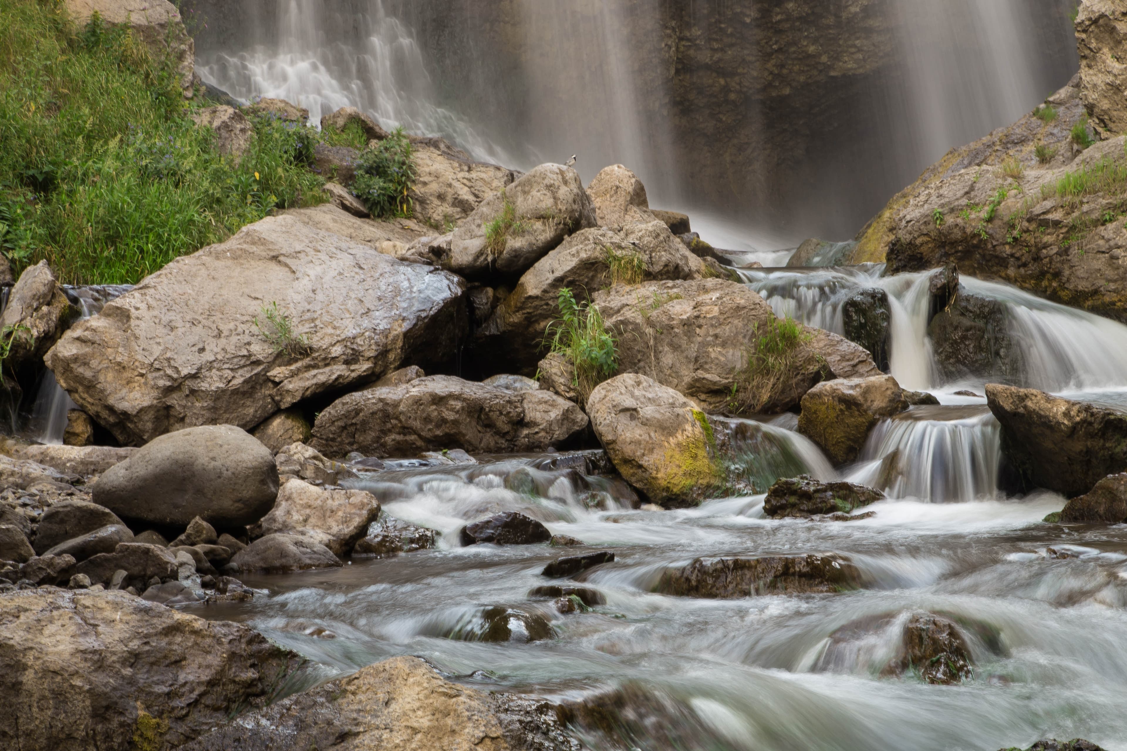
From Alaverdi up onto the open highland at the edge of Shirak: the road follows the Dzoraget canyon, cutting up to 300 metres deep into the basalt, then a gravel track crosses wide mountain country to Trchkan, Armenia’s largest waterfall at 23.5 metres of free fall. Drive back for a second night in Alaverdi.
Two and three quarter hours, and the day lives on its second half. Through the canyon it stays asphalt, the valley road open all year, while the river beside it lies up to 300 metres down in the basalt. From the turn at Shirakamut, ten kilometres of gravel and field track across open pasture: potholes, shallow fords through the Chichkhan, damp river sand at the end. After rain the ruts soften, and the guide checks each ford before the convoy takes it. At the basin you stand above 1,800 metres.
Driving time 2 h 45 · Elevation 715 → 715 m
The drive back via Dilijan and Lake Sevan to Yerevan, departure.
The same line the other way round: three and a half hours of driving, sealed all the way. Out of the Debed valley the M6 climbs to Vanadzor, then the M4 draws through the forest to Dilijan and up over the crest to Lake Sevan — from 715 metres into the pass country and down again to 990 in Yerevan. The altitude swing of a middling Alpine pass, without a metre of gravel. If you fly out the same evening, allow an hour of slack.
Driving time 3 h 30 · Elevation 715 → 990 m · tarmac 100 %
LoriMonastery
LoriWaterfall
TavushMountain
TavushMonastery
LoriMonastery
LoriFortress
Packing list
Questions about this tour
Water. Dilijan takes around 650 millimetres of precipitation a year, and you can read that off the ground: where the south gives you dust and scree, the north gives you forest, and after a wet night the ruts hold water instead of dust. The altitudes are more moderate — between 690 metres in the Debed valley and a good 2,100 in the pass country — but the lanes are narrower and the sightlines shorter. For the driver that means less thin air and more work for traction.
Day three is an out-and-back: up onto the highland to the waterfall and home along the same line. From Alaverdi the three monasteries of the Debed valley are fifteen to twenty minutes away, the entrance to the canyon forty — a second base would mean repacking, not saved time. The kind of roof follows the comfort class: Expedition puts you in a guesthouse, Signature in a hotel with a spa, Frontier in a camp.
Between March and June, when meltwater from the Shirak range fills the Chichkhan; the river rises at 2,250 metres. The tour still starts in May, because the gravel approach is closed in winter and the ground before that is too soft. For the fall at full force, come at the end of May or in June; by September it is narrower, but the track is dry and the fords are shallow.
The forest track is driven; the walking is as much as the group wants. Marked paths lead through the beech stands and across streams, and we take a stretch of one on foot. At the monasteries it is only the last few metres beyond the gate, over worn paving. Anyone who prefers to stay at the wheel misses none of the route — on this tour the vehicle reaches every site right up to the entrance.
Clay in the forest, fords on the Chichkhan
Two sections of this route depend on the weather. In the national park the forest floor turns to clay after rain: tyre pressure down, low range in, steady pull rather than revs, and spacing in the convoy so nobody drives through the spray of the vehicle ahead. On the track to the waterfall the lead guide walks every crossing of the Chichkhan before the first vehicle rolls into the water; after heavy rain the water level at the ford decides: too high, and the convoy waits for it to drop.
Satellite communication on every route
Every group carries satellite messaging and tracking. Where the mobile network ends, the connection stays up, and help can be called from any point on the route.
Recovery gear and reserves on board
Winch, recovery straps, tools, spare fuel and spare water travel in every vehicle. In the convoy a second vehicle is always within reach, and the margin is planned before it is needed.
First aid and pre-planned routes to help
Comprehensive first-aid kits, guides trained in wilderness first aid, and routes to the nearest medical facility planned in advance for every stage.
Fixed dates or your own timing — guided or self-driven. We reply personally.