Explorer
North: Sevan, Dilijan & the Monasteries of Lori
4 days
2,110 m
Lori — 23.5 metres of free fall over a basalt lip, far from any paved road: Armenia's highest waterfall thunders into the basin out in the open highlands.
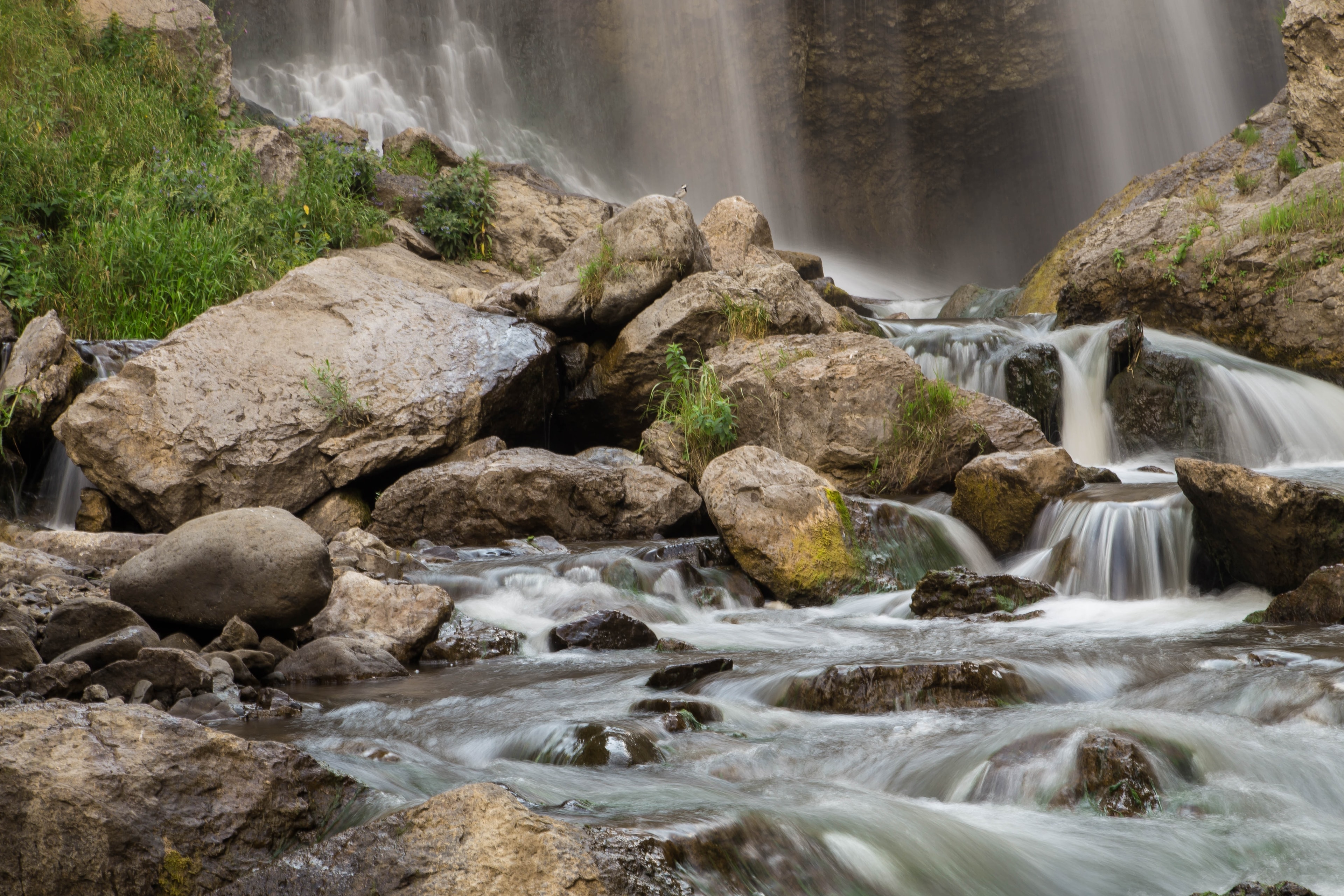
Ten kilometres of gravel track across open mountain country from Shirakamut, the last stretch along the stream — then you hear it before you see it. Trchkan is Armenia's tallest waterfall, on the border of Shirak and Lori at around 1,600 metres. The water thunders over the rock edge, spray hangs cool in the air, and all around is nothing but highland. Almost no one comes here.
Trchkan lies at approximately 1,600 metres elevation, nestled between the north-eastern foothills of the Shirak Mountain and the Bazum range. The Chichkhan River – 29 kilometres long with a catchment of 192 square kilometres – originates at 2,250 metres and here, in its mid-course, reaches its strongest flow. The water breaks broad across the rock lip and strikes the basin below with a discharge of approximately 1.5 tonnes per second. The waterfall is not a hidden gap in forest but an open, far-audible plunge in a highland landscape that shows expanse in all directions.
Offroad & access
From Shirakamut we take you roughly 10 kilometres over gravel and field track through open pastureland, fording the Chichkhan several times where it runs shallow, the last stretch over damp river sand. Factor 3 of 5: potholes, small stream crossings, ground that softens after rain — our vehicles carry the clearance for it. In winter the track is closed; we drive it when the snowmelt brings the waterfall to full force.
A 23.5-metre free fall makes the Trchkan Armenia's highest waterfall — roughly 1.5 tonnes of water a second crash into the basin. It runs strongest between March and June, when snowmelt off the Shirak Mountains fills the Chichkhan. A natural monument since 2008; in 2011 conservationists stopped a planned power plant on the river.
Right at the waterfall stands Chichkhanavanq monastery, founded by tradition in the 7th century. The 1988 earthquake — its epicentre near Shirakamut — wrecked it; between 2013 and 2015 it was rebuilt.
"Trchkan" means "leaping" in Armenian. The name comes from the trout that ran up the Chichkhan to spawn and jumped the ledge — supposedly more than 20 metres high.
You stand before Armenia's highest free fall — and hear it thunder into the basin before you see it. Wide pasture in every direction, almost no infrastructure, a rebuilt church at the valley's edge. We drive the route between May and July, when the snowmelt carries the full force.
Best season: May to October; peak discharge May–June. Access: from Shirakamut, approximately 10 km gravel/field track, 4x4 recommended. Closed in winter. Nearest city: Gyumri (approximately 1 hour drive). At the waterfall: picnic facilities available. Chichkhanavanq Monastery lies directly at the waterfall (can be visited, rebuilt 2013–2015). Entrance: free. Accommodation: in Gyumri or Vanadzor. Mobile signal absent in valley sections – download offline map in advance. Rain-related track softening possible – check weather before departure.
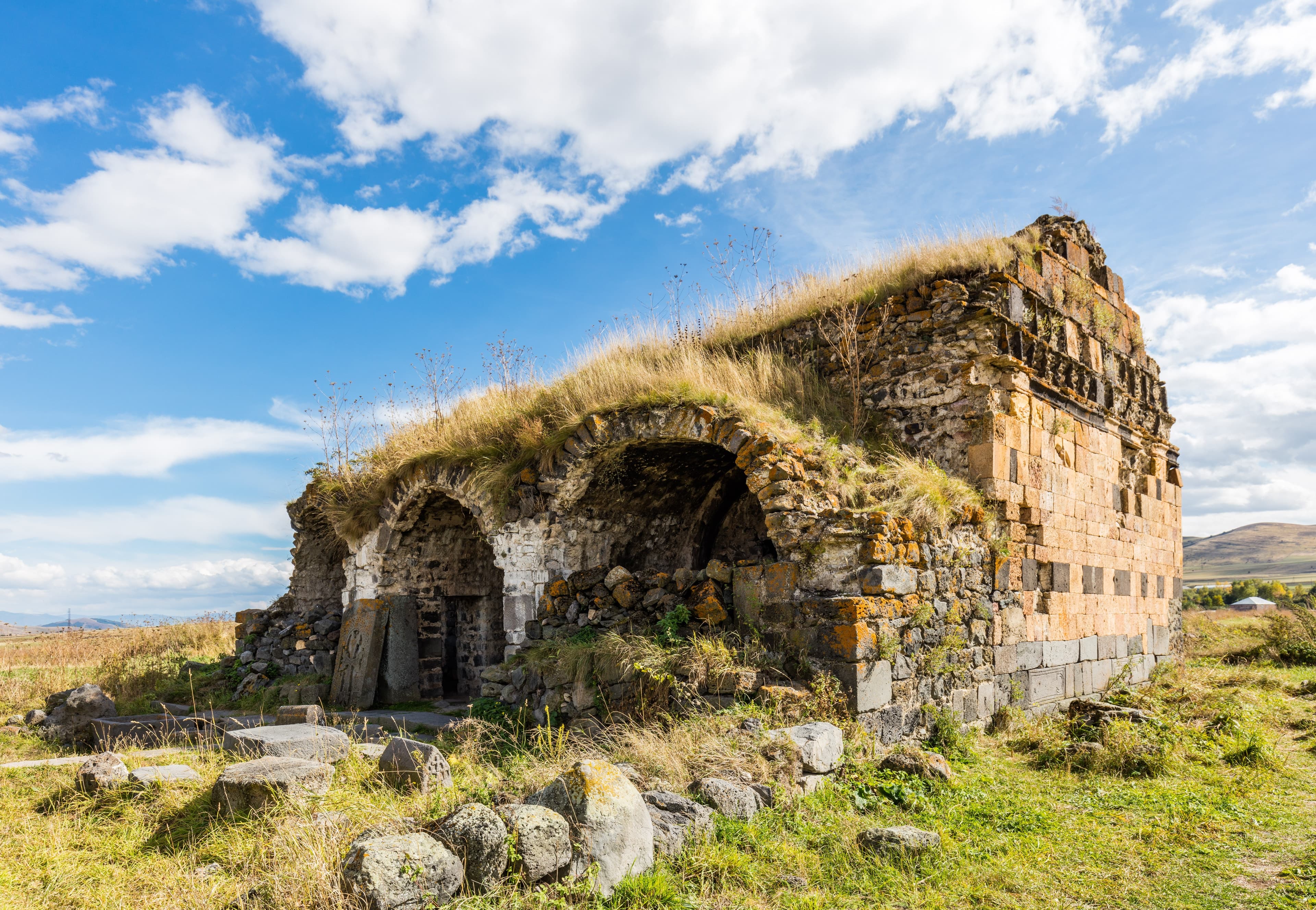
LoriFortress
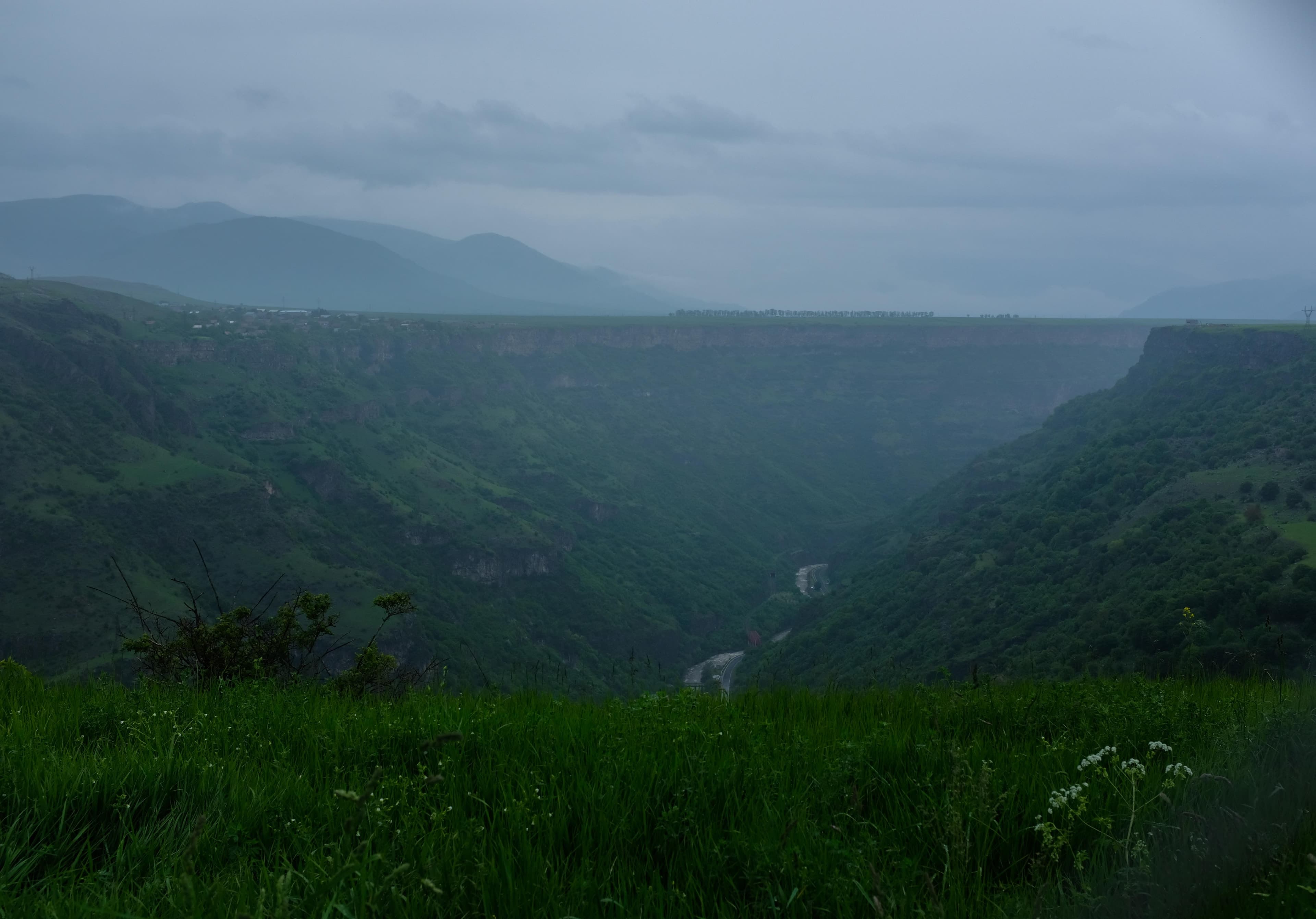
LoriCanyon
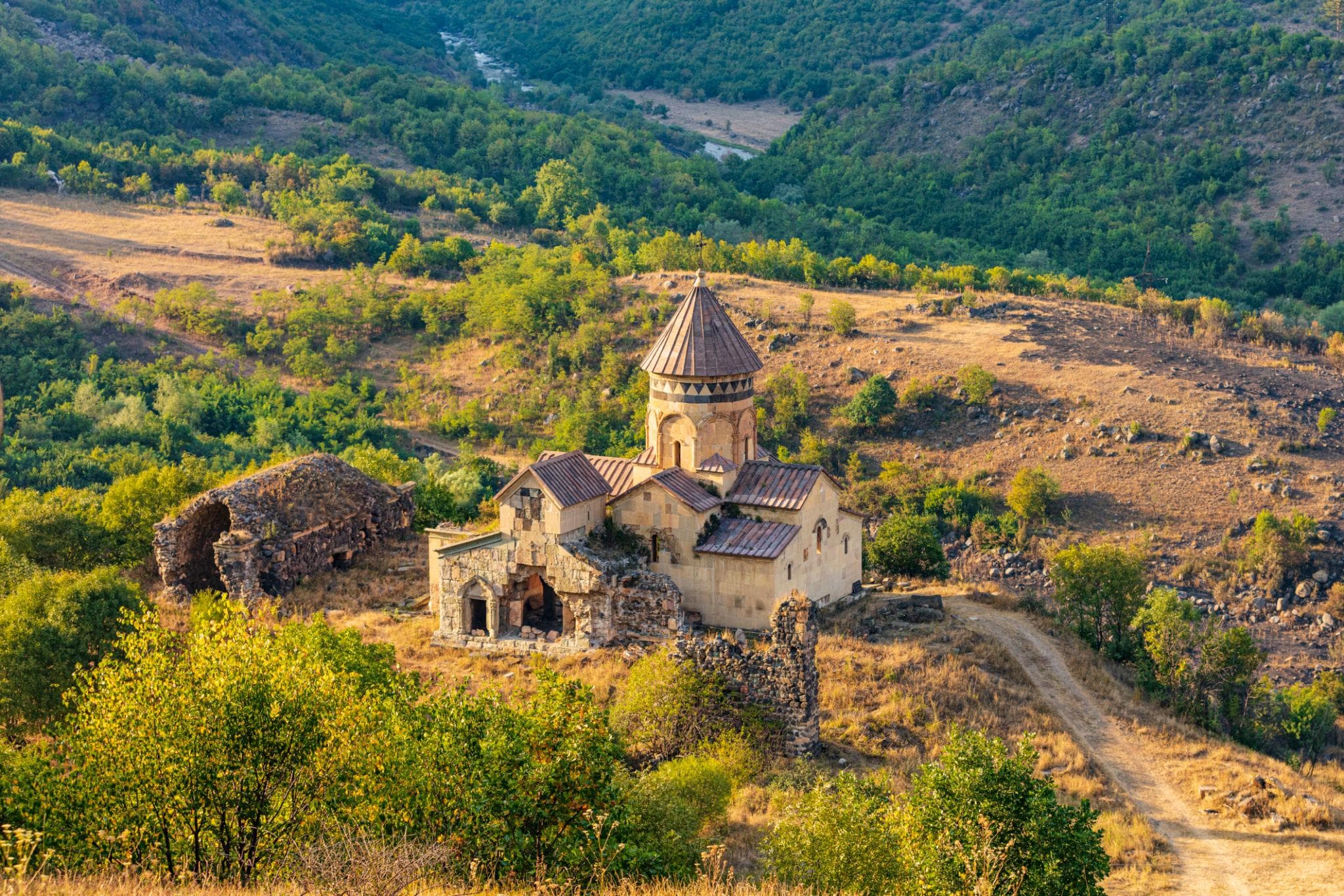
LoriMonastery
Want to run Trchkan as a full stop — through the Chichkhan Valley, up to the waterfall, over to the rebuilt monastery? Armenia Expeditions builds the route with a terrain-capable vehicle and a guide who knows the ground. One message — we’ll plan the rest.