Explorer
North: Sevan, Dilijan & the Monasteries of Lori
4 days
2,110 m
Lori — On a rocky promontory above the town of Akhtala stands a fortress that drops into gorges on three sides. Behind its basalt walls lies the church of Surb Astvatsatsin, its interior covered with frescoes from the early 13th century — Byzantine in colour, Armenian in composition, with Greek inscriptions woven throughout. It is accessible entirely on asphalt, without a single metre of gravel.
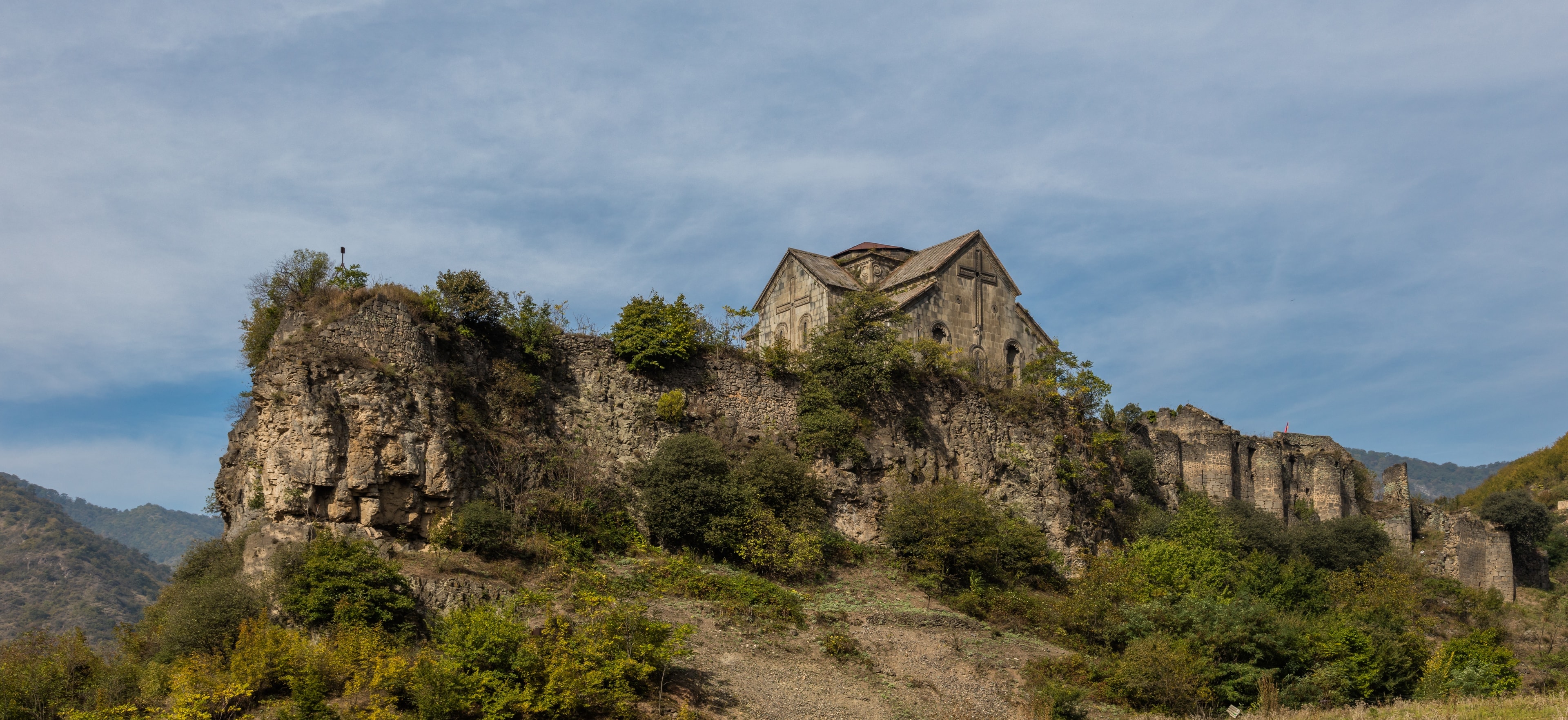
Akhtala once bore the name Pghindzavank, “copper mine monastery” — the ore deposits in the hillside shaped the place for centuries. The church is said to have once held the cross with which John the Baptist baptised Jesus; no evidence survives. In 1763, Georgian king Erekle II resettled some 800 Greek mining families from Gümüşhane nearby — strangers arriving at a monastery that, through its prince’s change of faith, already stood between cultures.
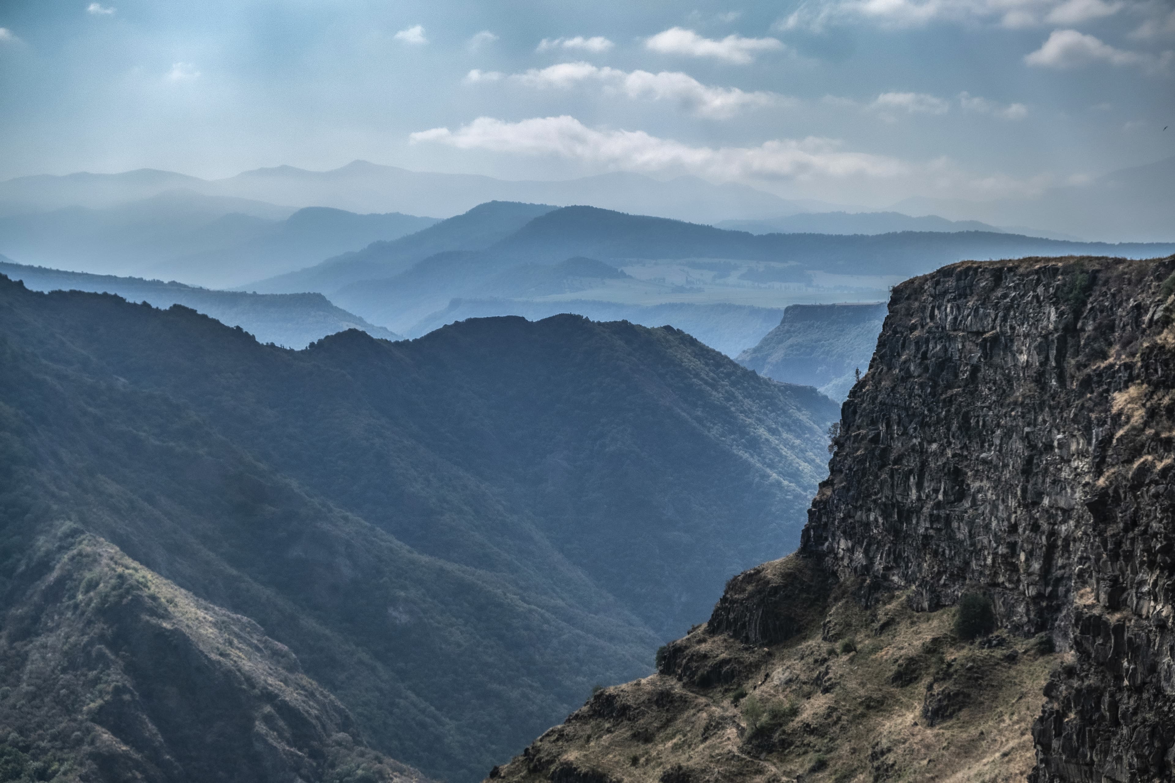
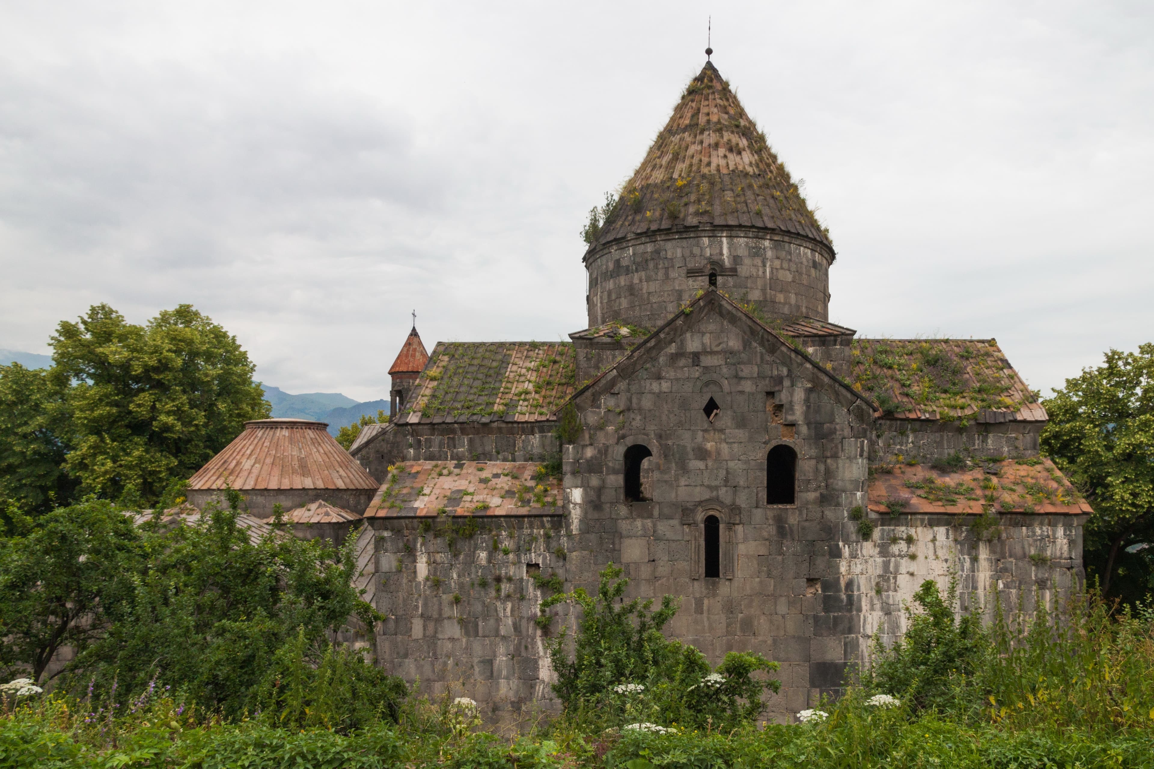
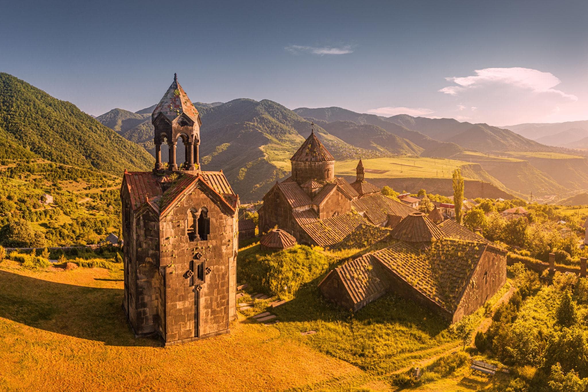
Akhtala is situated in the north of the Lori region, at around 690 metres elevation, on the edge of a narrow gorge near the Georgian border. The fortress wall of bluish basalt follows the rim of a rocky promontory that falls steeply on three sides. Inside stands the cross-domed church of Surb Astvatsatsin, its walls almost entirely covered in murals. Among the great monasteries of Lori, Akhtala is the lowest in altitude and the only one where you can park directly at the gate.
Offroad & access
The approach road is fully paved. From the M6 highway in the Debed valley, turn off into the town of Akhtala and follow the paved road to a small car park just short of the fortress wall. Offroad factor 1: no gravel, no river crossings, no four-wheel drive required. Any standard car reaches it in dry or wet conditions. The final few metres to the gate tower are on foot across uneven cobblestones. This is the easiest access road among all the Lori monasteries.
Region: Lori, nearest town Akhtala. Elevation: 690 m. Coordinates: 41.15068, 44.76458. Type: historical-archaeological monastery fortress. Founded in the late 10th century by the Kyurikids, a cadet branch of the Bagratids; Kiurike I established the Kingdom of Lori in 982. An inscription of 1188 names Princess Mariam, daughter of Kiurike, as the patron of Surb Astvatsatsin. Under Prince Ivane Zakarian the monastery became Chalcedonian (Byzantine Orthodox); the frescoes were painted between 1205 and 1216. Best travel season: March to November.
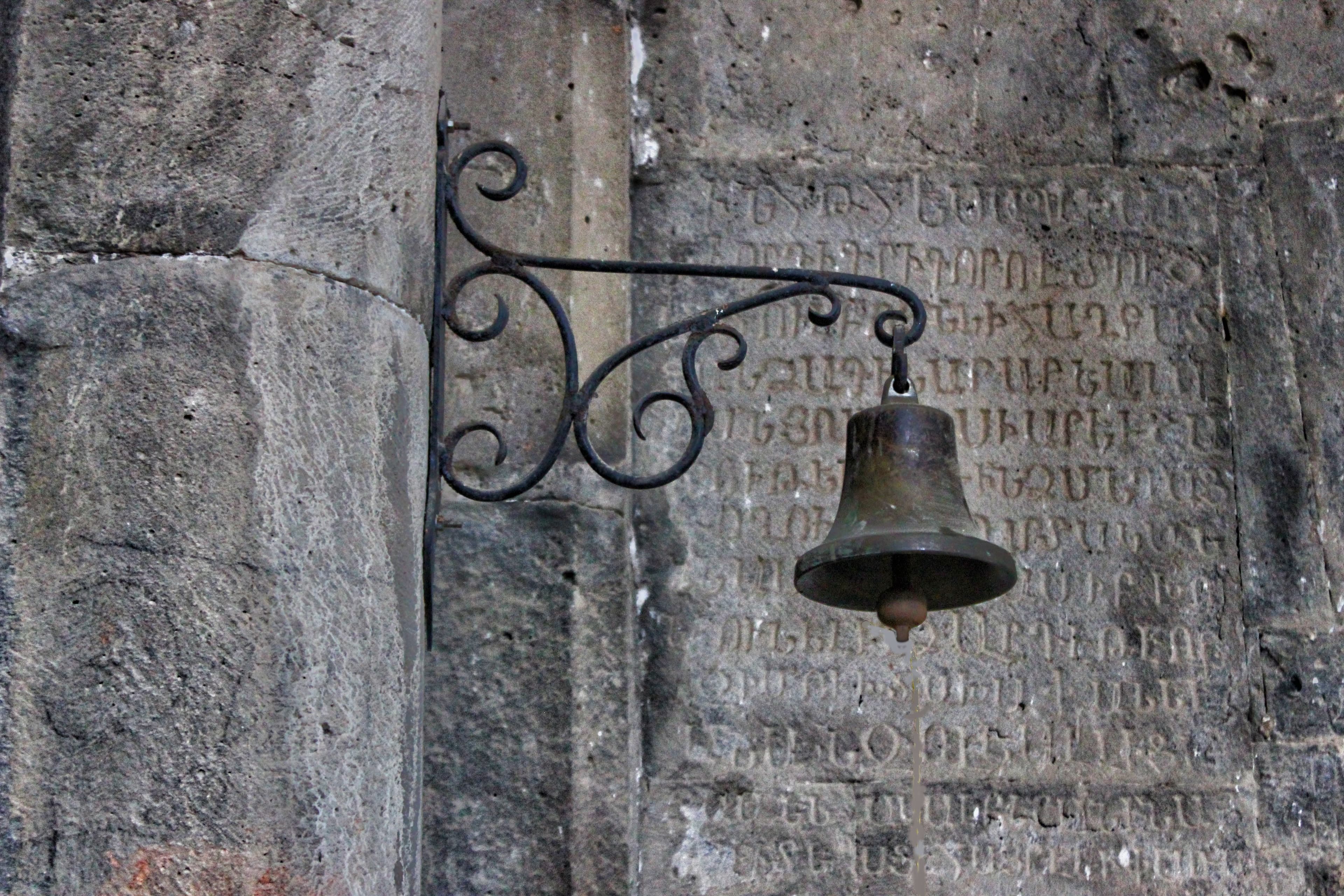
The older Armenian name of the site is Pghindzahank, meaning "copper mine"; the monastery itself is known as Pghindzavank, "copper mine monastery". Its position above ore deposits shaped its history for centuries. In the late 12th century the area passed to Prince Ivane Zakarian, who converted to the Chalcedonian faith and transformed Akhtala into a Byzantine Orthodox monastery. The frescoes date from this period: Byzantine in palette, Armenian in subject matter, depicting the enthroned Mother of God, scenes from the Old and New Testaments, and saints including Gregory the Illuminator. The name Akhtala is first recorded in 1438 and is considered to be of Turkish origin, meaning "white clearing". In 1763, King Erekle II of Georgia resettled around 800 Greek mining families from Gümüşhane here; their Greek inscriptions remain visible on the walls to this day.
According to tradition, the church once housed a cross with which John the Baptist baptised Jesus; no documentary evidence supports this. A second story concerns the frescoes: they were said to have been so captivating that worshippers gazed at the paintings throughout the liturgy, prompting a priest to have the murals whitewashed. Both accounts are matters of tradition, not established fact; the surviving wall paintings and Greek inscriptions, by contrast, are real and visible on site.
Akhtala brings together three distinct historical layers in one place: a Kyurikid fortress from the 10th century, a Chalcedonian church with one of the most complete medieval fresco cycles in Armenia, and traces of an 18th-century Greek mining community. The convergence of Byzantine colouring, Armenian iconographic themes, and Greek and Georgian inscriptions within a single space is rare. Because the monastery requires neither a hike nor an off-road vehicle, the time saved goes toward what matters: the painted walls inside and the view from the ramparts into the gorge.
Best travel season March to November; in winter the gorge can be wet and slippery. Entry is through the gate tower; sturdy footwear is advisable due to the uneven cobblestones. The interior is dimly lit — which helps preserve the frescoes — and a small torch is useful for examining details. As an active religious site, appropriate clothing and discretion when photographing are expected. Allow approximately one hour for the church and the fortress walls.
LoriMonastery
LoriCanyon
LoriMonastery
If you would like to explore Akhtala at a relaxed pace, Armenia Expeditions can plan your visit with enough time for the frescoes, the fortress walls, and the view into the Debed Gorge. One message — we’ll plan the rest.