Explorer
North: Sevan, Dilijan & the Monasteries of Lori
4 days
2,110 m
Tavush — In northeastern Armenia lies a forest region rare even by Caucasian standards: 902 plant species, over 40 mammal species, five medieval monasteries—all within a single protected area between 1,070 and 2,300 meters elevation.
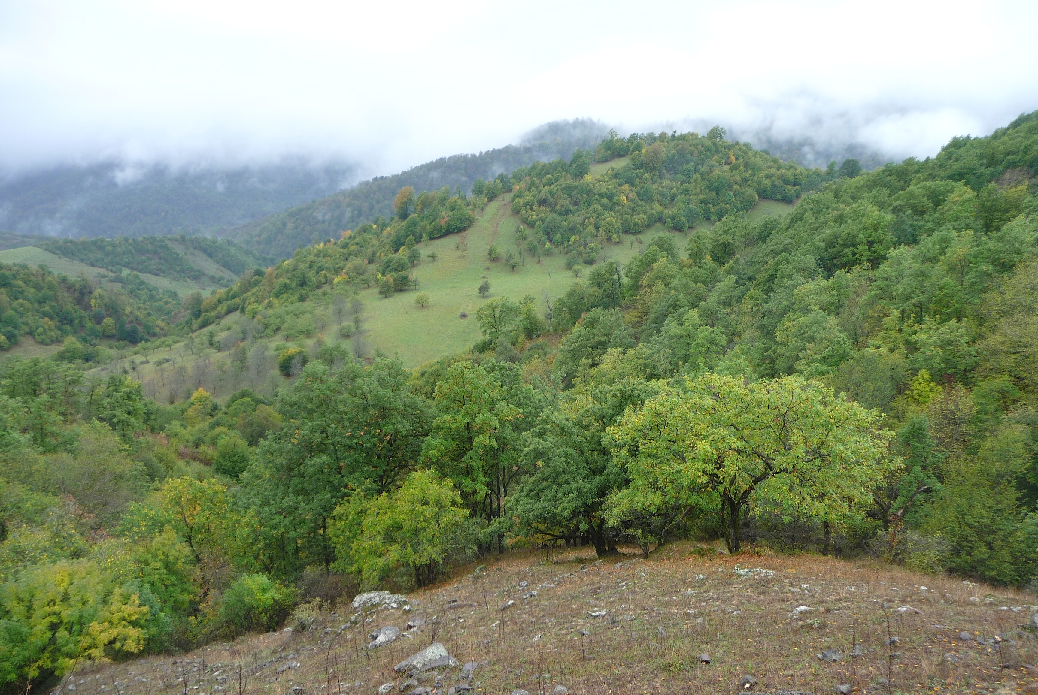
The moment you leave the forest tracks, every signal drops, and for hours you see nothing but scattered animal tracks in the mud. Road construction in 1859 already uncovered a burial ground here dating to around 1300 BCE—long before the Soviets built at least 20 sanatoriums in the spa town and sent tuberculosis patients here on purpose. You drive past yew groves and rhododendron stands crowding the hollows and cliff slopes—French traveler Jean Chardin already noted these forests in writing back in 1666.
Dilijan National Park sprawls across 240 square kilometers of dense mountain forest in Tavush province, immediately northeast of the spa town of the same name. The territory ranks among the few remaining continuous broadleaf forest massifs of the southern Caucasus. Beeches, oaks, and hornbeams form the structural base; in depressions and on cliff faces grow yew thickets and rhododendron stands. The forest lies between five mountain chains—Pambak, Areguni, Miapor, Ijevan, and Halab—and drains into multiple stream systems that characterize the park across all seasons.
Offroad & access
Offroad factor 3 of 5. The main axis through the park—the M4 from Yerevan to Ijevan—is asphalt and passable year-round. Once you switch to secondary routes, conditions shift fundamentally: rough forest tracks, some with deep potholes, mud after rain, and shallow stream crossings without bridges. Forest roads above 1,600 m often remain snow-covered or waterlogged until late May. Distances on secondary tracks are short but time-consuming: allow 60–90 minutes for 15–20 km inside the park. Vehicle: 4x4 with 200 mm minimum ground clearance mandatory for all secondary routes; the primary monastery approaches (Haghartsin, Goshavank) are gravel or narrow asphalt on their final kilometers. All-terrain tire types recommended. No extreme technique required, but a locked transfer case is essential in wet conditions and spring.
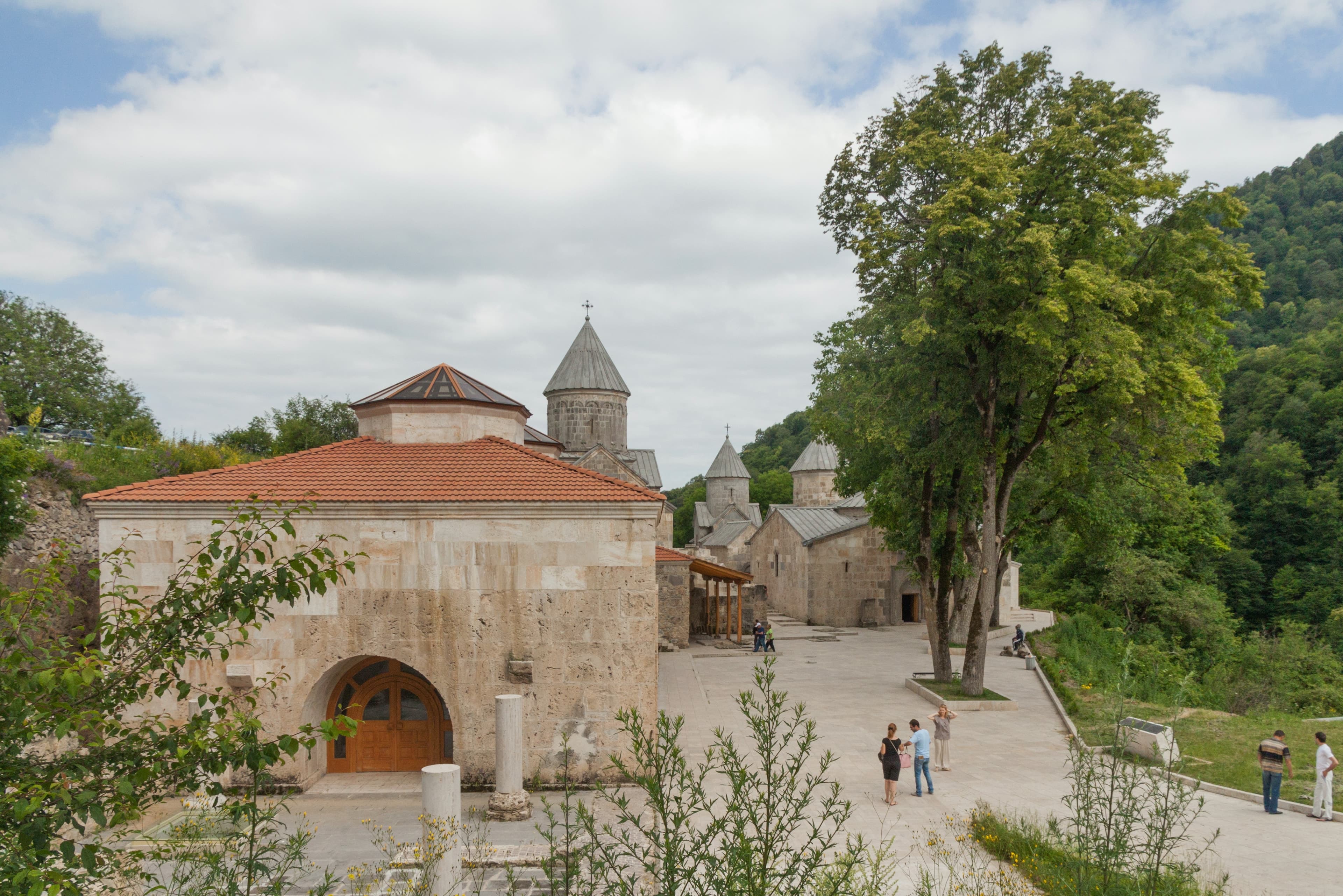
Founded 2002, the park rests on a Soviet state nature reserve established in 1958, itself founded on the basis of former Dilijan and Kuibyshev forest districts. Area: 240 km². Elevation band: 1,070 to 2,300 m. Flora: 902 vascular plant species, of which 29 appear in Armenia's Red Book. Fauna: 150 bird species (Caucasian black grouse, golden eagle, bearded vulture, Caspian snowcock), over 40 mammal species (brown bear, wolf, lynx, red deer, wild boar, Caucasian squirrels). Cultural heritage: five medieval monasteries within or adjacent to the park—Haghartsin (10th–13th centuries), Goshavank (12th–13th centuries), Jukhtak Vank (11th–13th centuries), Matosavank (10th–13th centuries), and Aghavnavank (11th century). Since 2017/18, an 80 km stretch of the Transcaucasian Trail runs through the park.
The forest zone around Dilijan has been inhabited since the Late Bronze Age: in 1859, construction uncovered a cemetery dating to approximately 1300 BCE with rich grave goods and undisturbed burial chambers. Historically, the territory bore the name Hovk and served Armenian rulers of the Arsacid period as hunting grounds. In the 19th century, wealthy residents of Tbilisi traveled to Dilijan to enjoy the forest air and mineral springs. French traveler Jean Chardin first documented the region in writing in 1666. During the Soviet period, at least 20 sanatoriums arose in the town; Party cadres from Moscow recuperated here, and tuberculosis patients were deliberately sent there. Formal protection began in 1958 with the nature reserve; 2002 brought redesignation as a national park, also because the town's expanded infrastructure required stricter zoning.
According to tradition, the monastery of Haghartsin received its name from a sign during the dedication of the main church nave: an eagle is said to have circled above the dome, playing or dancing. Armenian "hagh" means play or dance, "artsin" refers to eagle—thus arose "Haghartsin," the monastery of the dancing eagle. This name legend is firmly anchored locally but cannot be verified historically. A second tradition concerns a hollow half-column in the monastery's Gavit: its interior allegedly served as a hiding place for church treasures in wartime and was believed to be internally pivotable. The name of the town Dilijan itself is explained in folk etymology as deriving from a shepherd named Dili; etymological confirmation is absent.
The park is one of few areas in Armenia where brown bears, lynxes, and bearded vultures are proven and reproducing. The forest is not a backdrop for day-trippers but a biologically intact massif with mesophilic Caucasian character, now rare south of the main ridge. Those who drive the secondary routes encounter hours of complete isolation—no cell signal, no vegetation except forest, occasionally wildlife tracks in mud. The combination of forest tracks, medieval monasteries directly beside the route, and an elevation span exceeding 1,200 meters produces a day's density that few other Armenian destinations match.
Best travel season: May to October; higher forest tracks snow-free from late May. Access: via the M4, exit at Dilijan town. Haghartsin monastery access: 13 km northeast of town center, last section narrow asphalt. Goshavank: 22 km from center. Parz Lake (Clarity Lake): 14 km, forest road. Refuel in Dilijan town before entering secondary routes. Cell signal mostly absent inside the park. Park administration and Tourist Information Center in Dilijan town: GPS maps and current trail conditions available there; HikeArmenia app offers digital trail markings. Overnight: Dilijan town offers multiple options, from guesthouses to Ecokayan Resort. Entrance: no general park admission fee; individual monastery sites may charge entrance fees.
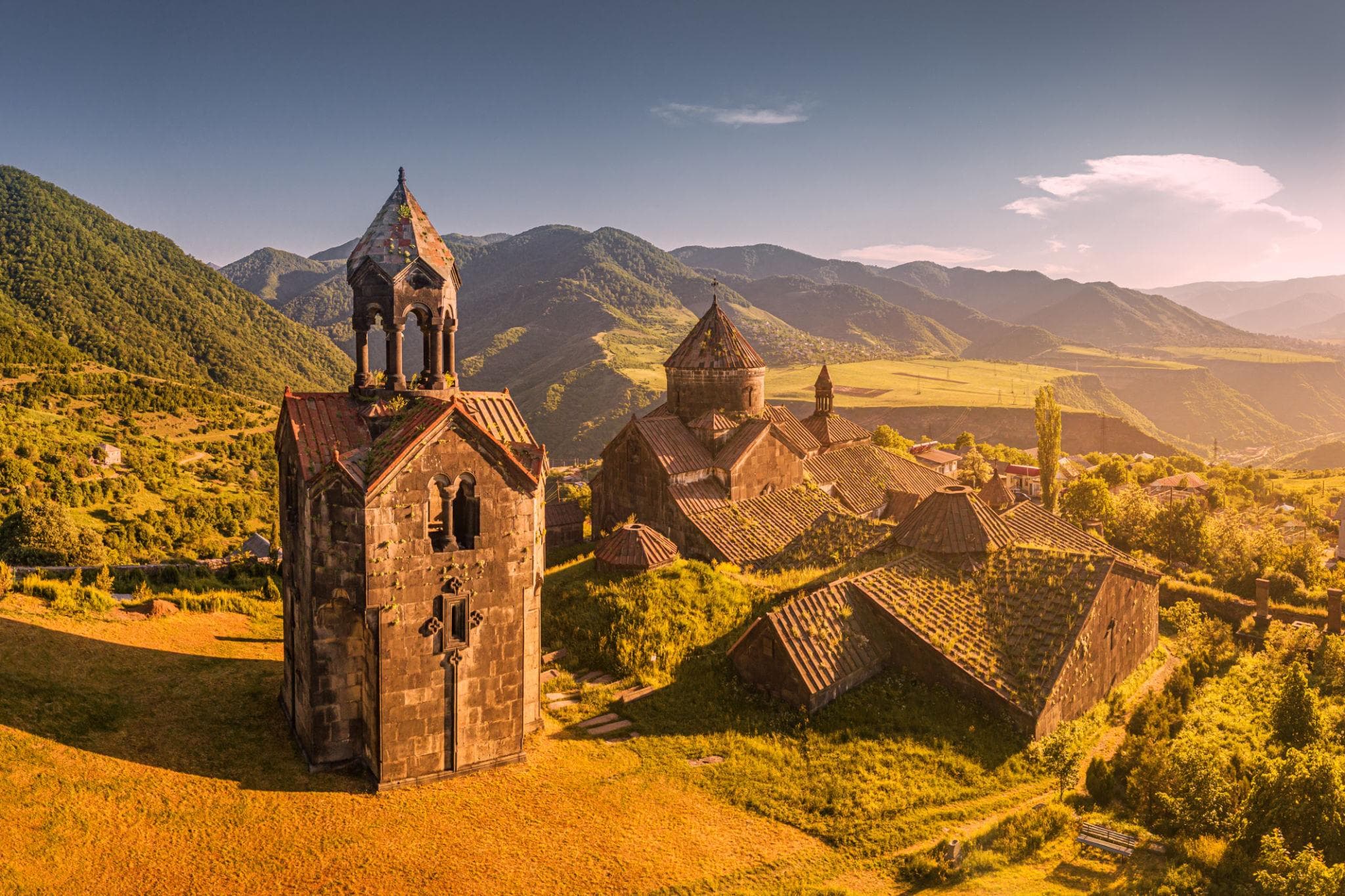
TavushMonastery
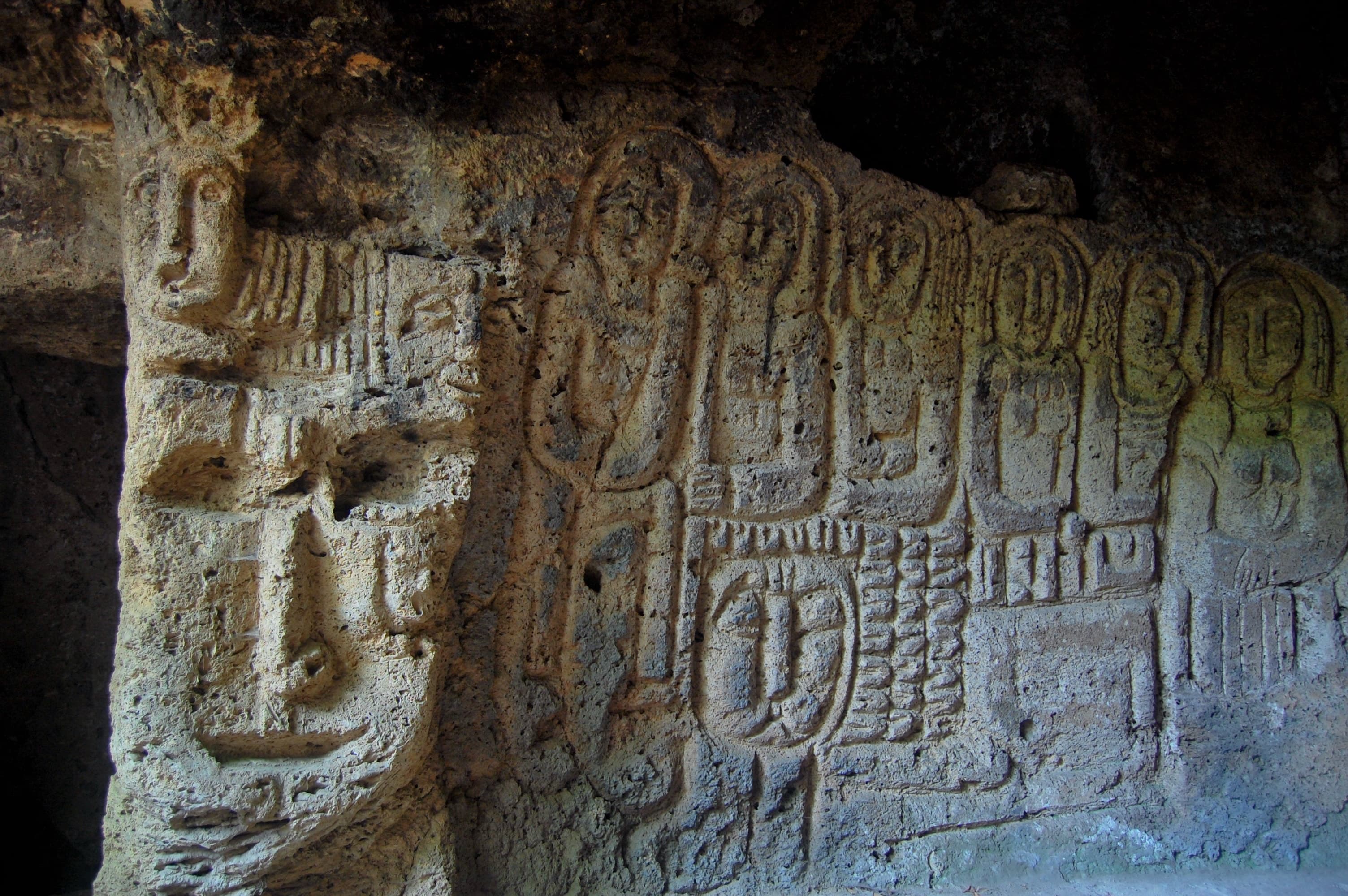
TavushCave town
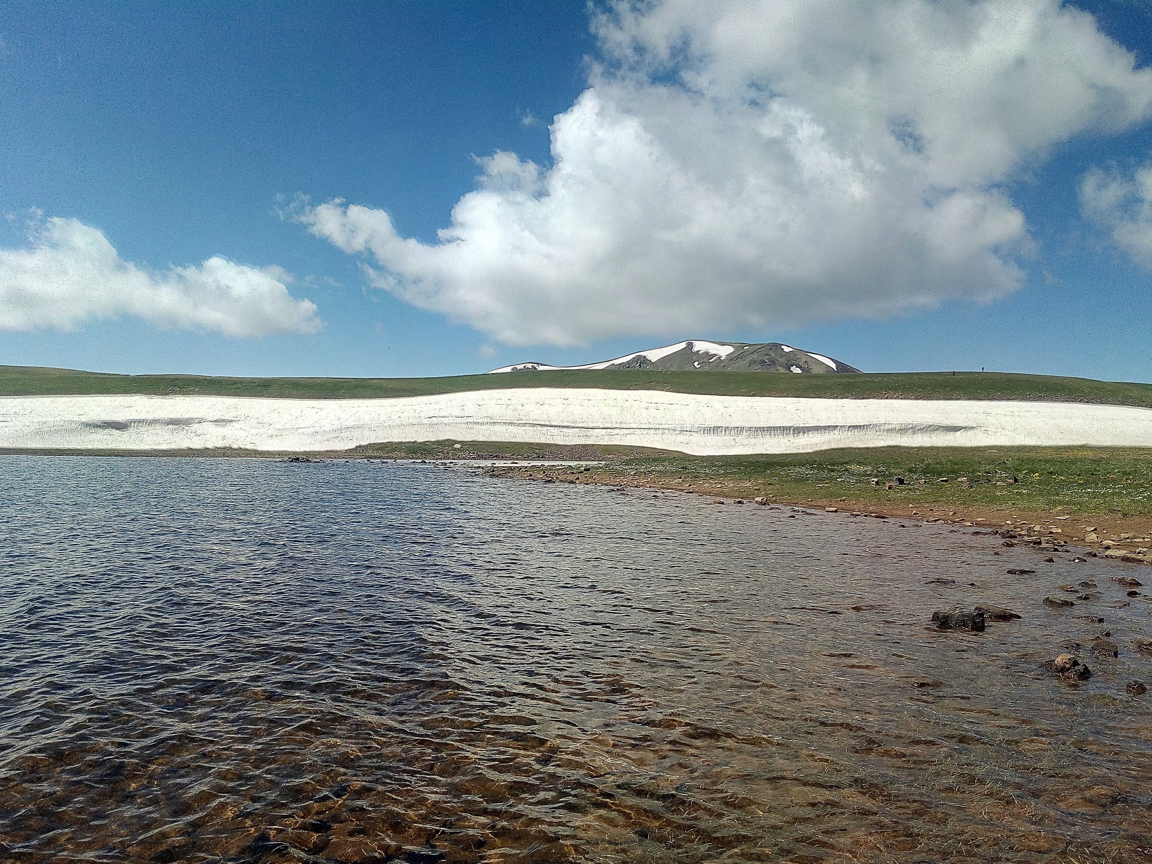
GegharkunikLake
Dilijan National Park ranks among stops for which you should plan a generous time window—not because of distances, but because of track conditions and the density of stations. Armenia Expeditions organizes the route through the park tracks including vehicle selection, waypoints, and local contacts on site. One message — we’ll plan the rest..