Explorer
North: Sevan, Dilijan & the Monasteries of Lori
4 days
2,110 m
Lori — Between Stepanavan and its confluence with the Debed, the Dzoraget cuts up to 300 metres deep into basalt rock — Armenia's longest navigable river, framed by medieval fortresses and a monastery that retreated into an almost inaccessible side gorge in the 7th century.
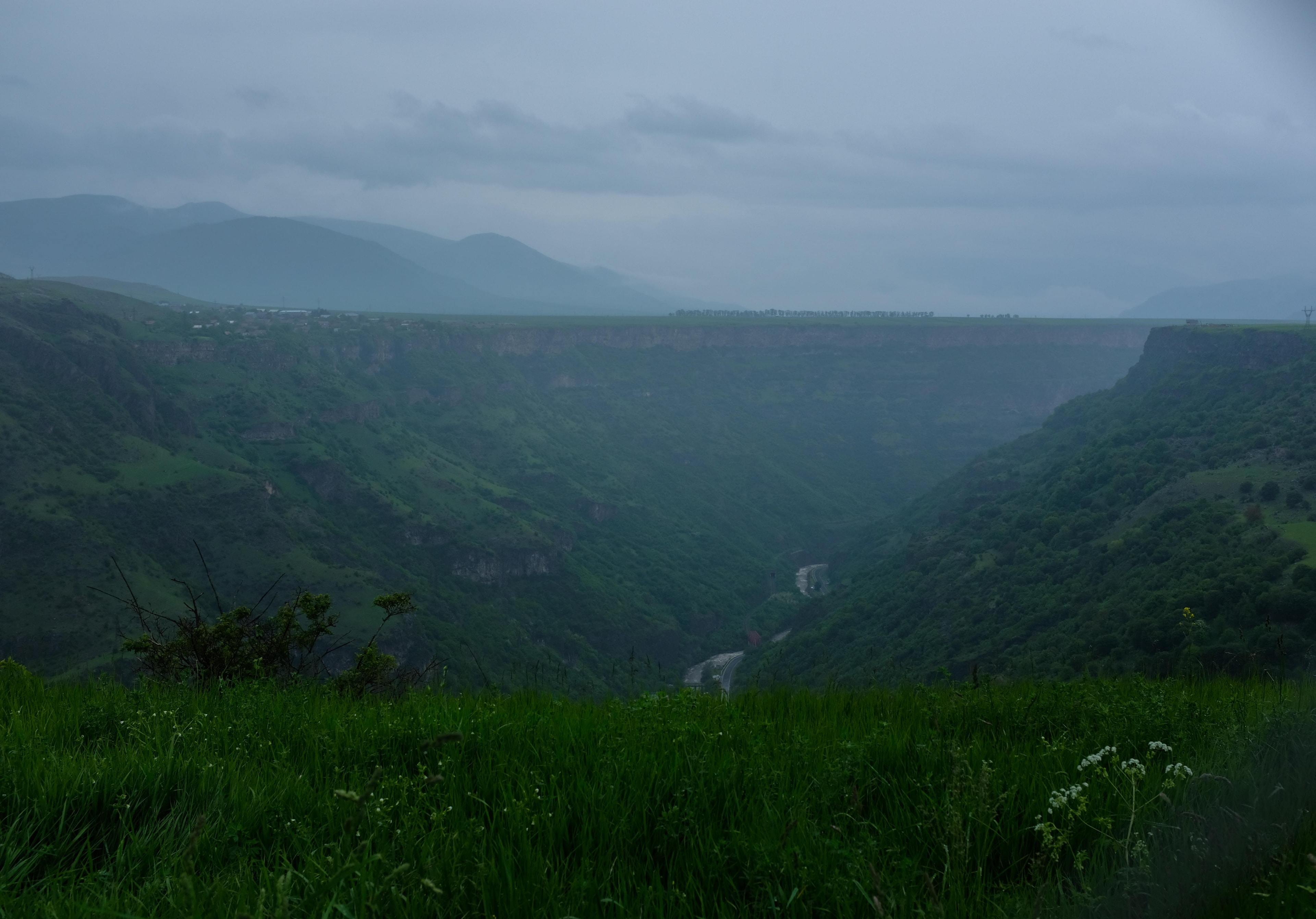
Here the rock walls close in so tightly that the sky narrows to a thin strip, yet there is still room for oak, hornbeam and willow along the bank. Its name says as much outright: Dzor means gorge, Get means river. Even a kingdom borrowed its name from this landscape in 979: Tashir-Dzoraget, whose gorges made the residence fortress of Lori Berd almost unassailable on three sides.
Dzoraget Canyon lies in the province of Lori in northern Armenia, immediately south of Stepanavan. Its name is self-explanatory: Dzor means gorge in Armenian, Get means river — the river flowing through its own gorge. From Stepanavan, the valley descends in stages deeper into the highlands until walls in places drop vertically 300 metres. The asphalt road follows the river along the valley floor, making the canyon unusually accessible without neutralising its character: the walls are close enough to narrow the sky to a strip, yet far enough apart to support distinctive vegetation of oaks, hornbeams, and willow thickets. On the high plateau between two deeply carved gorges — Dzoraget to the south, Tashir River to the north — stands Lori Berd, the residential fortress of the medieval Kingdom of Tashir-Dzoraget. Its name was taken directly from the canyon and river, illustrating the political and geographical role this topography played between the 10th and 12th centuries.
Offroad & access
Offroad factor 2 of 5. The main road through the valley is asphalt and passable year-round — suitable for standard cars. For descent routes to main sites: the newly constructed road from Stepanavan to Lori Berd (approximately 10 minutes driving) is gravel-surfaced and passable without four-wheel drive. Access to Hnevank Monastery, by contrast, uses a rough gravel track deteriorating after a few kilometres beyond the bridge at Stepanavan; in rain or after snowmelt, all-terrain capability and adequate ground clearance are necessary. In dry conditions, experienced drivers can navigate with a robust high-clearance SUV. Alternatively, Hnevank is reachable from several villages (Dzoragyukh, Kurtan, Arevatsag) on marked hiking trails, hiking time 1–2 hours depending on starting point. The canyon section above Stepanavan is easier; below, the hillside tracks become steeper and looser. Those wanting only the canyon experience and Lori Berd tour do not need four-wheel drive.
River: Dzoraget (Ձորագետ), left tributary of the Debed; source in the Bazum Mountains at approximately 2,200 m, mouth at Dzoragyukh at 920 m. Canyon depth: up to 300 m at deepest points, over 200 m documented near Kurtan. Valley width: varies considerably, narrowest in the middle section below Stepanavan. Nearest town: Stepanavan (provincial capital of Lori). Elevation at Stepanavan entry: approximately 1,250 m. Flora: oak-hornbeam mixed forests, willow thickets, rich understory vegetation. Rafting specialty: Armenian travel bureaus designate the Dzoraget as Armenia's only river suitable for rafting; standard route begins at the bridge near Stepanavan. Nearby historical sites: Lori Berd (fortress, 1,379 m, built 1005–1025, capital of Kingdom of Tashir-Dzoraget 1065–1118), Hnevank Monastery (7th–12th centuries, in a side gorge near Kurtan where Dzoraget and Gargar rivers meet). Best travel season: April to November for all sections; asphalt road through valley passable year-round.
The name Tashir-Dzoraget carries geography within it: the kingdom by that name, founded in 979 by Kiurike I — brother to Bagratid king Smbat II — was named directly after this gorge and the adjacent Tashir Plain. Matsnaberd was the first capital; from 1065 the royal house relocated its residence to Lori Fortress, erected on a rocky outcrop between Dzoraget Canyon and the Tashir River. The natural three-fold framing by gorges made Lori Berd nearly impregnable. The kingdom existed as a Bagratid vassal; after their collapse, as a semi-autonomous entity under Byzantine influence, until 1118 when annexation by the Kingdom of Georgia occurred. Hnevank Monastery, the "Old Monastery" in the side gorge near Kurtan, was founded in the 7th century and completely reconstructed in the 12th century by Lord Smbat of the House of Orbelians, Georgian-Armenian feudal lords — a Georgian inscription on the drum of the main church documents his name. The Armenian government has recently completed restoration of the collapsed dome of the main church.
A documented folk tradition specifically regarding Dzoraget Canyon is not accessible in published sources. The place name Hnevank — Armenian for "old monastery" — hints at a founding tradition reaching far before its first written mention; the precise century and circumstances of the monastery's establishment remain unclear. The river name Dzoraget itself is purely descriptive, carrying no mythological layer. Legends circulating in the region concerning monasteries in inaccessible gorges often follow the same pattern: monks deliberately chose locations reachable only by rock paths as protection from raids — whether Hnevank followed this principle or the gorge location was primarily spiritual remains undetermined based on available sources.
Dzoraget Canyon combines three things rarely found together in Armenia: a navigable gorge with serious depth, a medieval fortress set in topography-determined impregnability, and a monastery literally buried in the gorge. Standing on Lori Berd's fortification walls on a clear morning reveals why this location served as a kingdom's capital for 53 years — the gorges are not backdrop but the actual defensive structure. The river below is, by Armenian travel operators' assessment, the only river in Armenia that supports organised rafting. This makes the canyon one of the few places in the country where active river use and historical depth are found in the same gorge.
Access: Stepanavan lies approximately 130 km north of Yerevan, driving time approximately 2–2.5 hours via the M7/H29. From Stepanavan, Lori Berd (approximately 10 minutes driving, new asphalt road) and the canyon entry are directly accessible. Hnevank: gravel track from the bridge at Stepanavan, passable in dry conditions with a high-clearance SUV, alternatively hiking trail from Dzoragyukh or Kurtan (1–2 hours). Lori Berd: Tuesday–Saturday 10–18, Sunday 10–16, Monday closed. Rafting: starting point at Dzoraget bridge near Stepanavan, seasonal operation by local providers. Accommodation: Stepanavan has guesthouses and small hotels; Vanadzor (40 km south) offers more options. Catering: limited infrastructure in the valley outside Stepanavan. Best season: April to November; Hnevank track May to October.
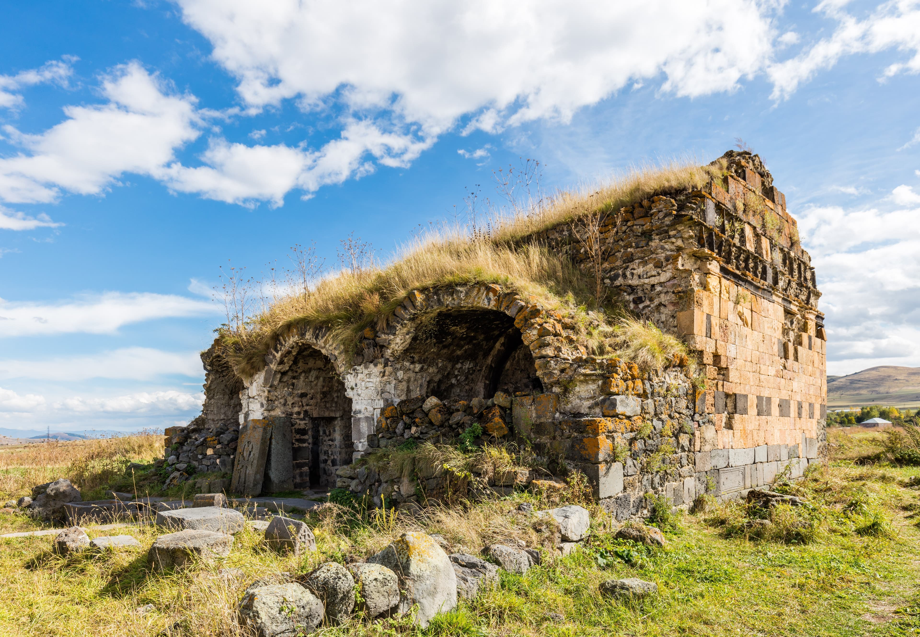
LoriFortress
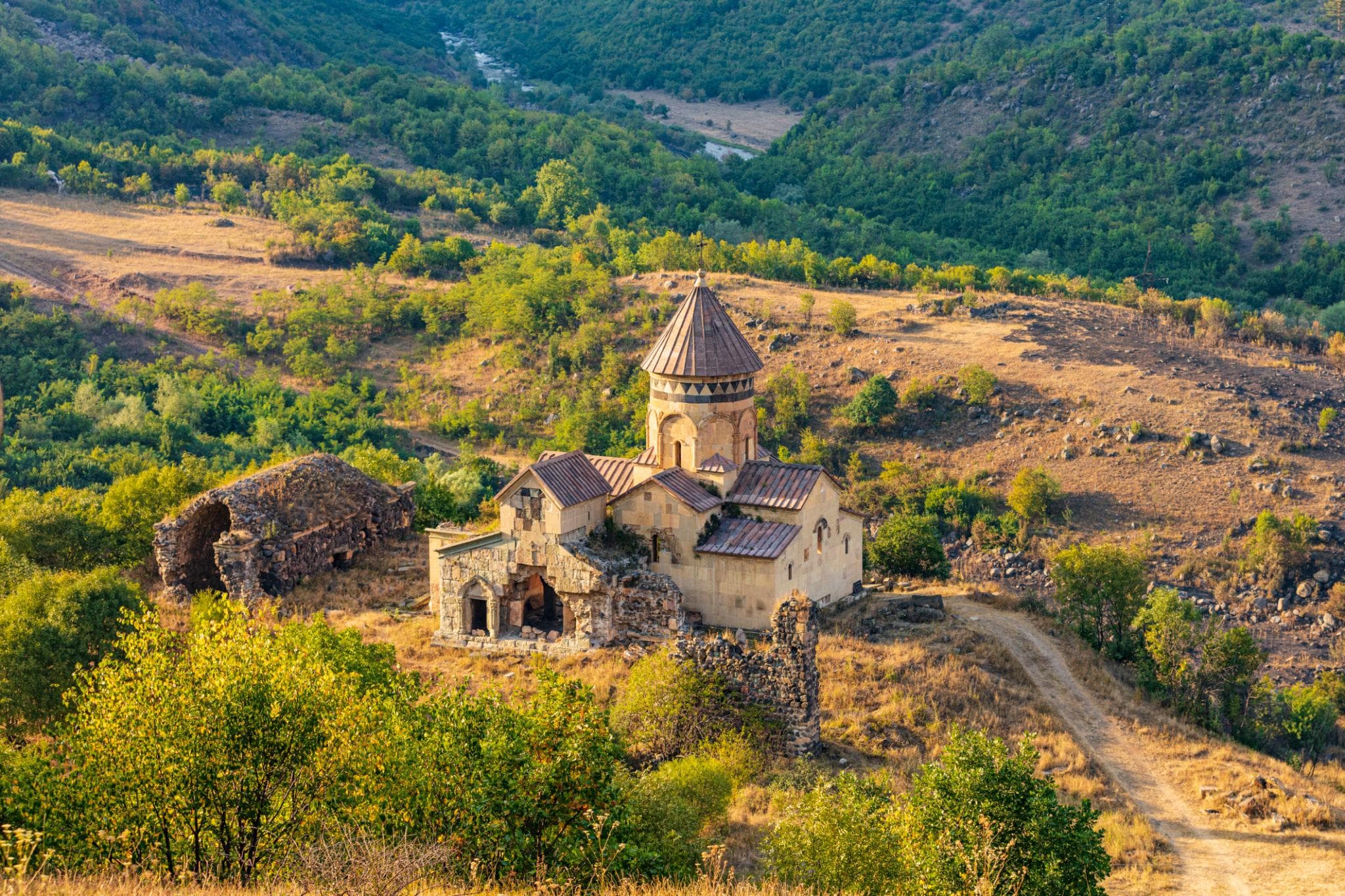
LoriMonastery
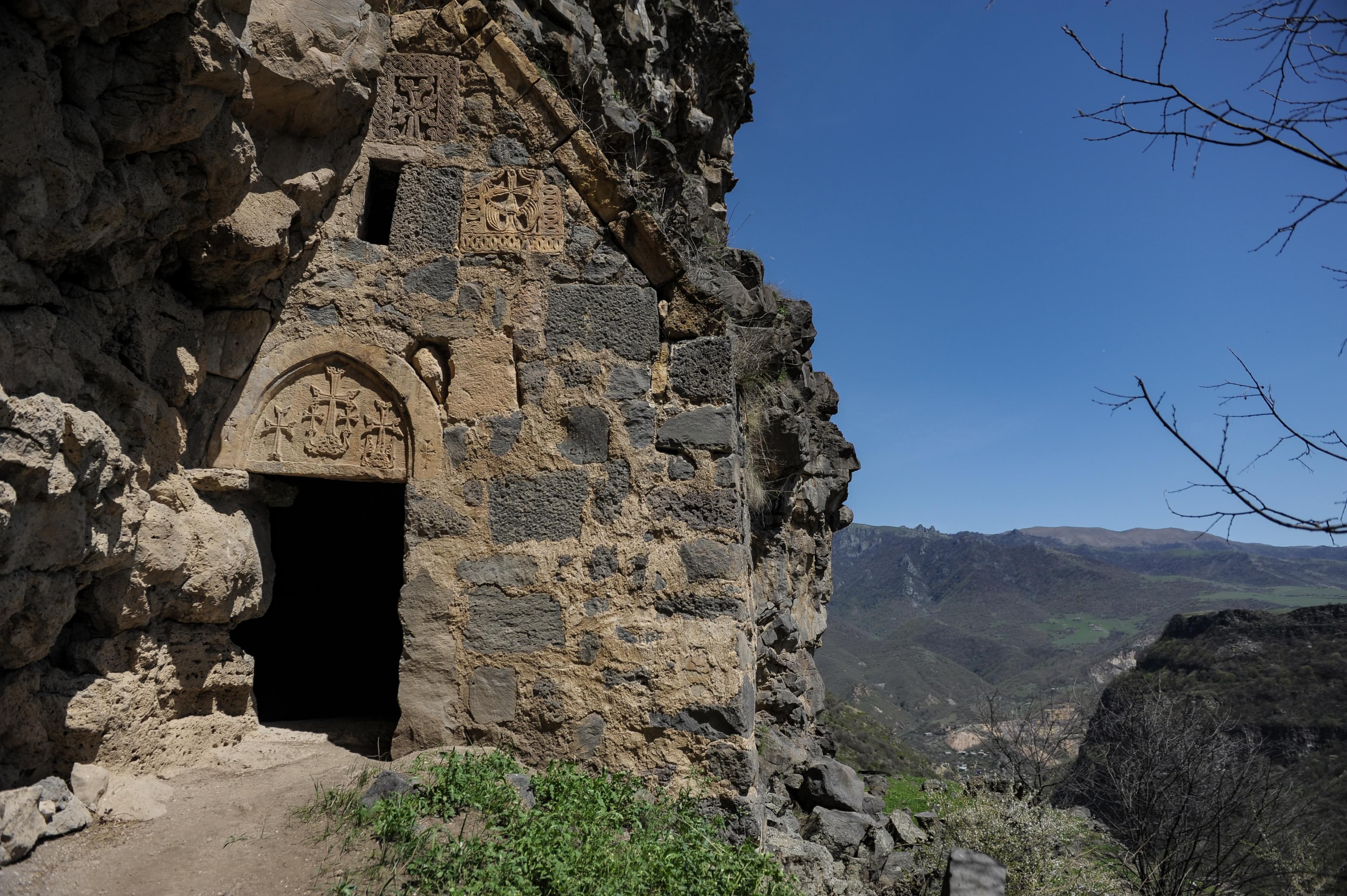
LoriMonastery
Experience Dzoraget Canyon best with a full day: Lori Berd in the morning, descent into the valley at midday, Hnevank in the afternoon — or as a trekking variant from Kurtan. Armenia Expeditions plans this route with appropriate vehicle and local expertise. One message — we’ll plan the rest.