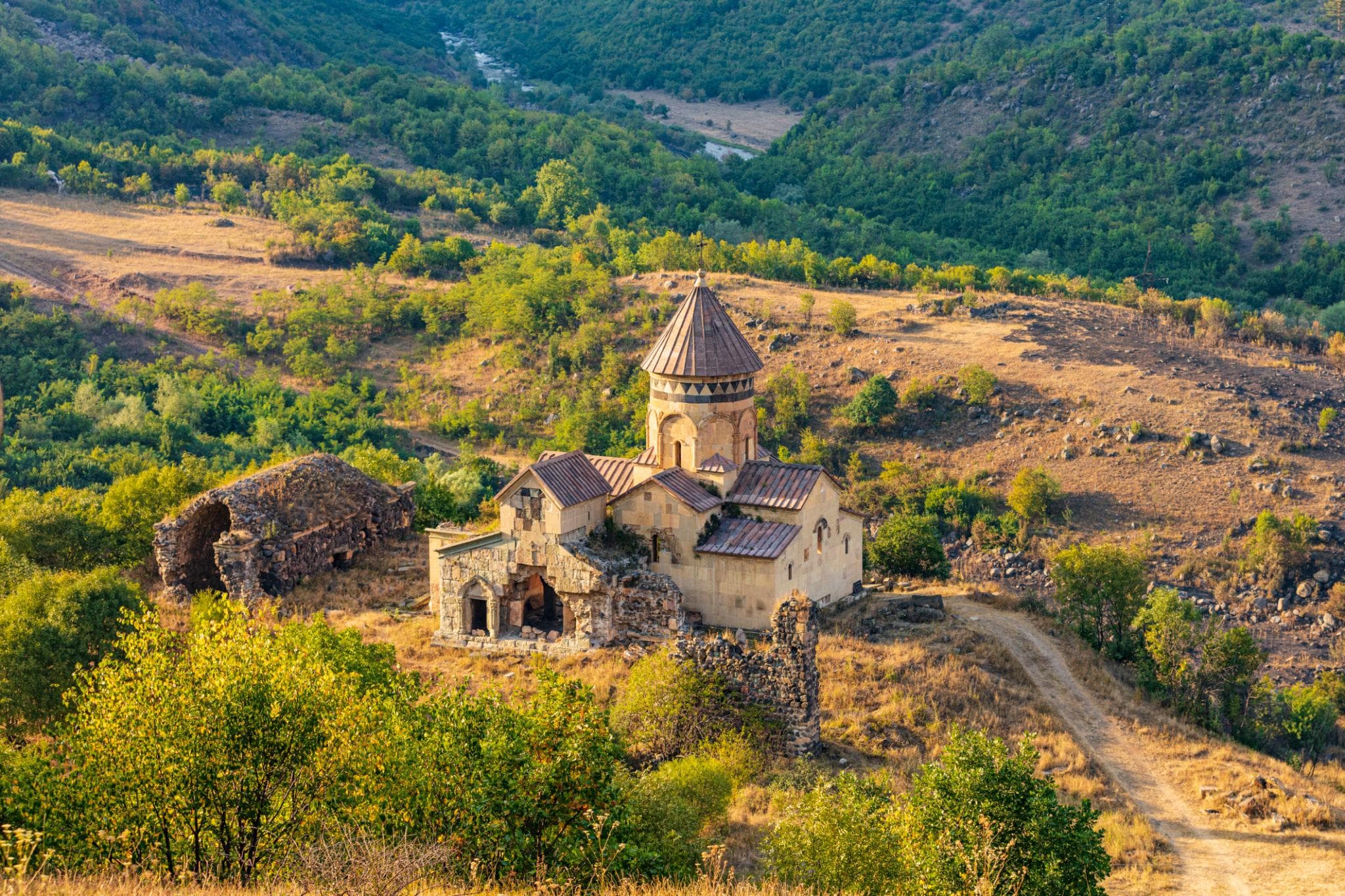
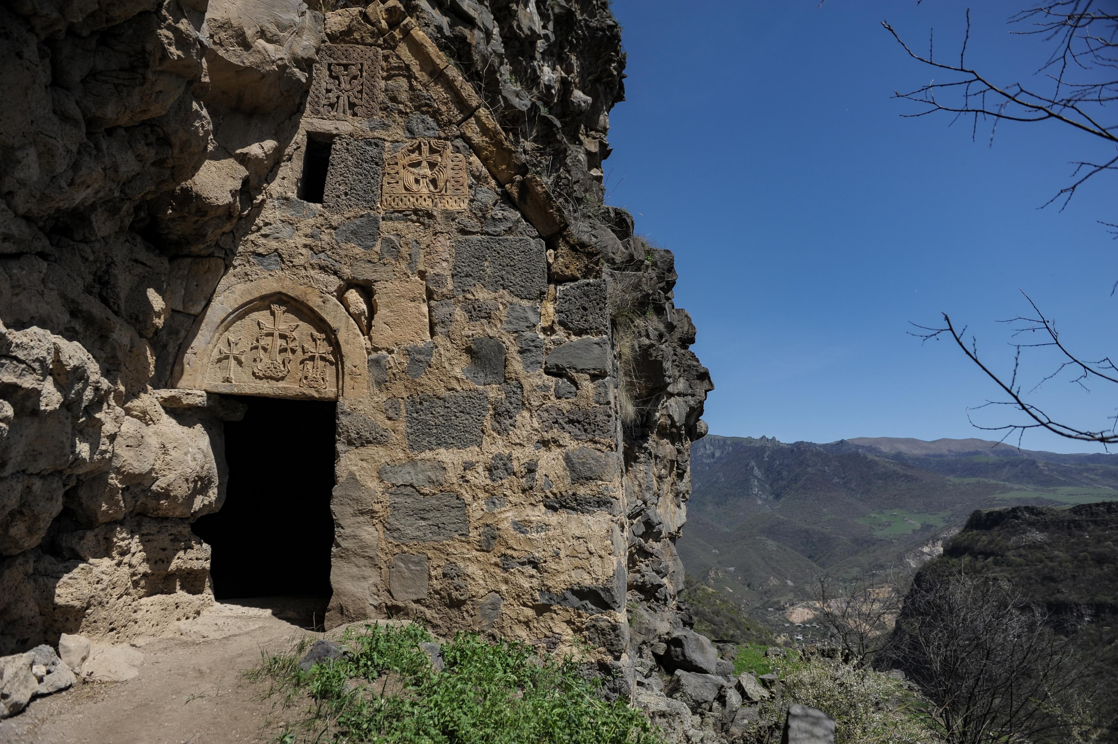
Gravel
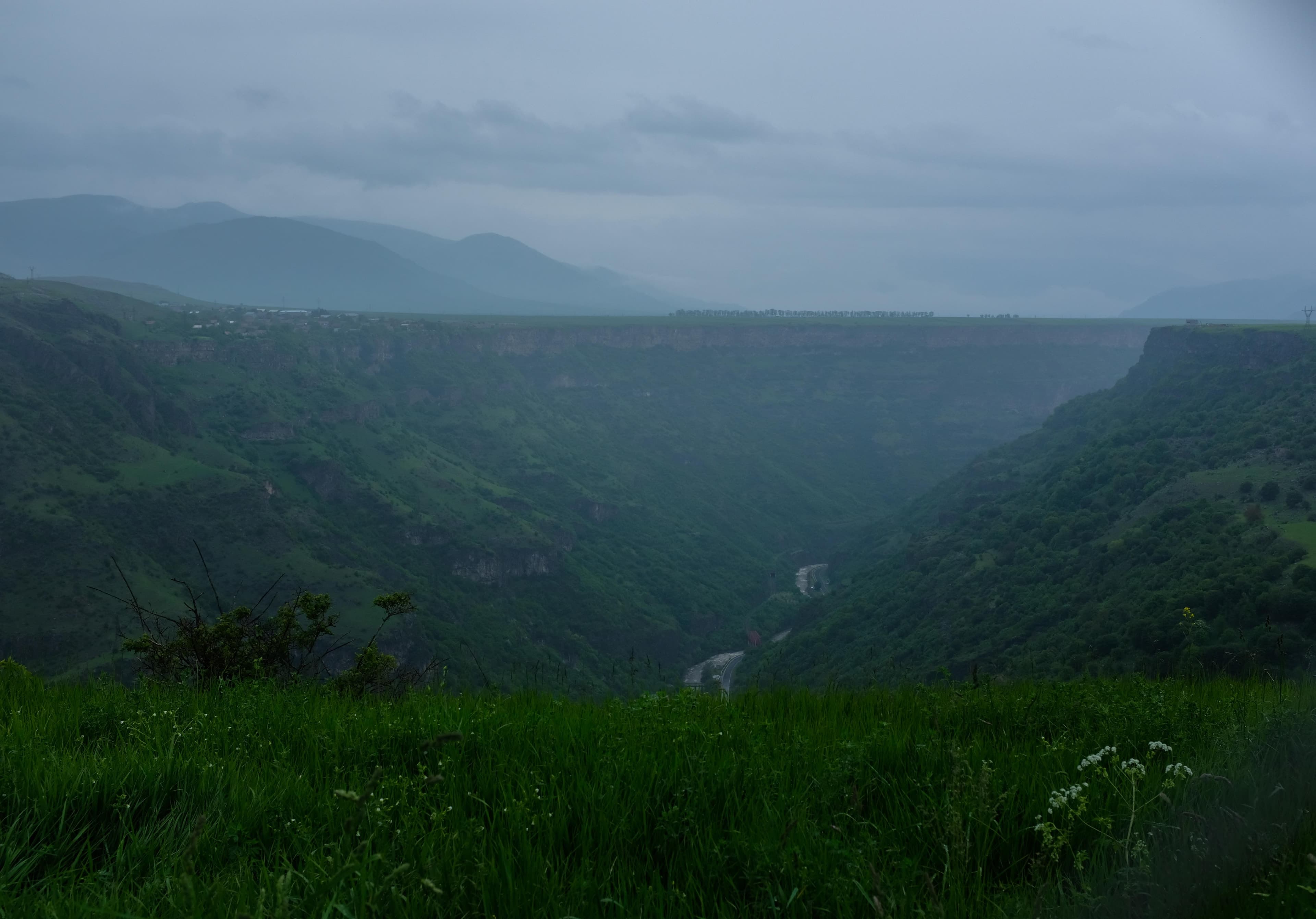
LoriCanyon
Lori — On a triangular plateau wedged between two deep river gorges, stand the ruins of a medieval city fortress that once sheltered 10,000 people — today, four kilometres away, barely 400 inhabit the valley.
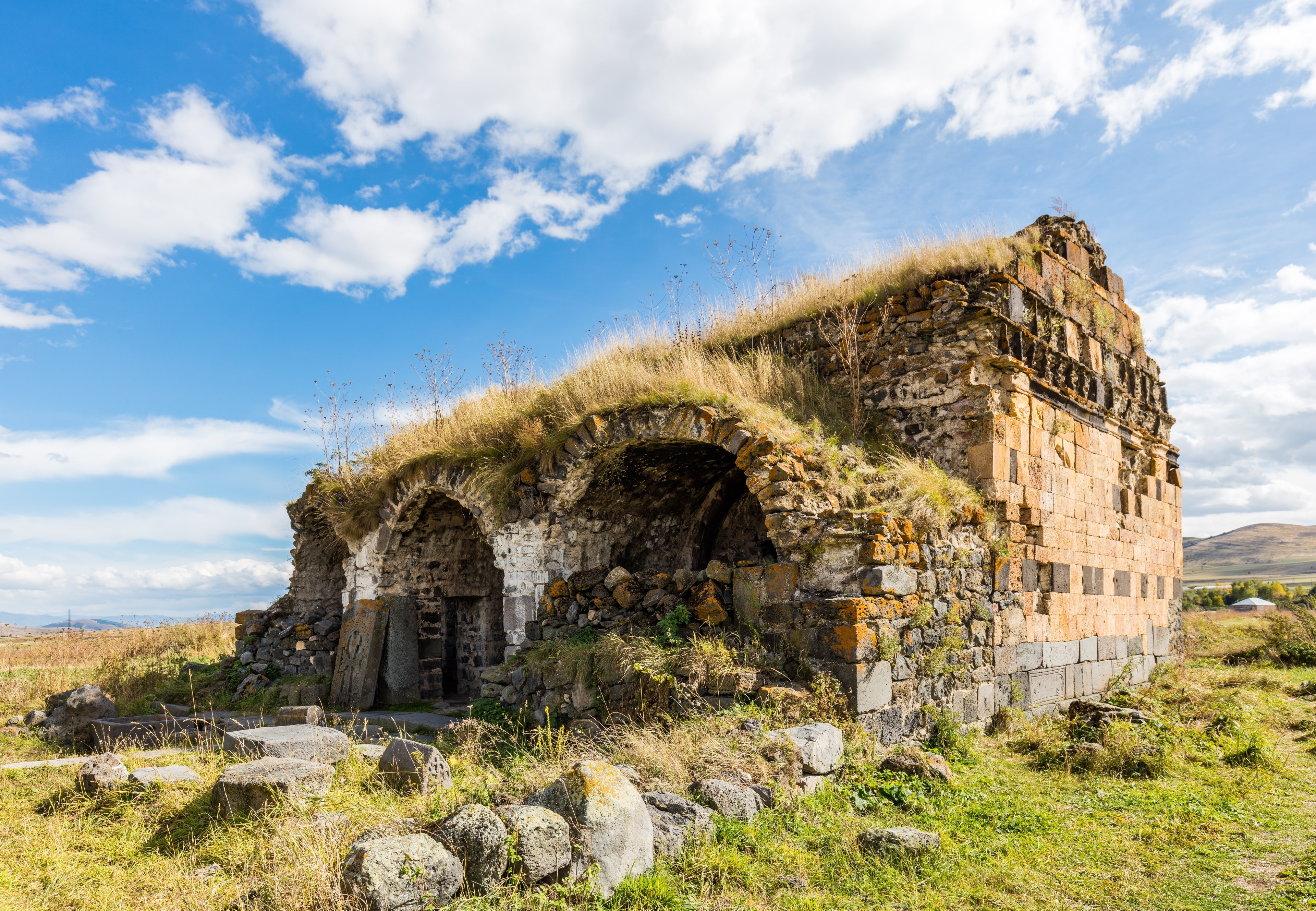
Beneath the grass lie two bathhouses with medieval underfloor heating and a two-storey palace with pools and fountains — luxury in the middle of a mountain fortress. Around 200 clay pipes once carried water five to six kilometres up to the plateau. In places the ruin still bears the nickname ‘Ashot’s Iron Fortress’: legend says King Ashot the Iron slept here, although the walls were not built until a century after his death.
Lori Berd sits on a natural promontory enclosed by two river gorges: the Dzoraget to the west and the Miskhana to the east. The plateau falls steeply into the ravines on three sides; the fourth, to the northwest, was the sole vulnerable point — there the Kyurikid kingdom raised a citadel wall 214 metres long, in places 20 metres thick and up to 25 metres high. At 1,379 metres elevation, roughly five kilometres northeast of Stepanavan, a urban settlement once sprawled across 33 hectares.
Offroad & access
The drive from Stepanavan to Lori Berd village is entirely asphalt. The final two kilometres consist of maintained gravel and field tracks crossing the plateau to the fortress — offroad factor 2 out of 5. In dry conditions, a regular car with adequate ground clearance suffices; after rainfall, the clayey section just before the plateau may become slippery but remains easily passable in an SUV. Driving time from Stepanavan: 15–20 minutes. Park at the plateau edge; short walk from there to the ruins along the gorge rims.
Founded between 1005 and 1020 by King David I Anhoghin (Anlakhch – "the Landless") of the Kyurikid dynasty, a branch of the Armenian Bagratouni. From mid-11th century onward, Lori Berd became capital of the Tashir-Dzoraget kingdom (also called the Kyurikian kingdom). At its height between the 11th and 13th centuries, an estimated 10,000 people lived here; the city was linked via trade routes to Ani, Dvin, and Tiflis. In 1105 the Seljuks seized the fortress; in 1118 the Georgian king David the Builder recovered it. In 1185 it passed to the Armenian military house of Sakarian. In June 1236 Mongols under Chagatai Nayan destroyed the city largely — including the crypt-chapel of David's wife. Partially rebuilt by the Orbelians from 1430 onward, the fortress changed hands between Turkish and Persian control from 1562 to 1734. By the late 18th century it lost strategic importance entirely. Since 1966 Yerevan State University has conducted excavations, uncovering two bathhouses with hypocaust heating (11th–13th centuries), a two-storey palace with pools and fountains, and a collection of approximately 200 ceramic pipes — evidence of a long-distance water-supply system extending five to six kilometres. Surviving structures include the citadel wall with gate, a six-domed building, bathhouse ruins, and a medieval bridge over the Miskhana of dressed basalt blocks (length 9 m, width 2.8 m).
David I Anhoghin — "the Landless" — founded the fortress on a spur naturally defended by gorges on three sides. His grandson Kyurike II declared Lori Berd capital of an independent Armenian principality in mid-11th century, one that navigated between Georgian and Byzantine spheres of influence. The city grew into a regional trade hub: markets, baths, palaces, and a sophisticated water system emerged on the plateau. In 1105 the Seljuks occupied the site; in 1118 David the Builder incorporated it into the Georgian realm and granted it to the Orbelian princely clan, later to the Armenian general Sarkis Zakarian. Mongols under Chagatai Nayan stormed it in 1236, destroying much of the urban fabric and despoiling the founder's wife's burial chapel. Rebuilding under the Orbelians from 1430 remained incomplete; struggles between Ottomans and Safavids in the 16th and 17th centuries gradually depopulated the plateau. Into the 18th century the complex still served as military refuge, then vanished from political consciousness.
According to tradition, not David Anhoghin but the Bagratouni king Ashot II Yerkat (the Iron, r. 914–928) founded the fortress. In folk memory Lori Berd sometimes bears the epithet "Ashot's Iron Fortress," because legend holds he slept there during his passage through northern provinces. Historically this cannot be verified — archaeological evidence and written sources place construction a full century after Ashot's death. The confusion likely arises because Ashot Yerkat, as the most celebrated figure of the Bagratouni age, became a screen onto which various buildings were projected in regional memory.
Lori Berd is one of the few medieval Armenian city-fortresses where not only walls but infrastructure has been exposed: aqueducts, hypocaust structures, street traces. Walking the citadel wall places you simultaneously at the gorge rim with open views down wooded Dzoraget slopes. Both — the archaeological record and the topography — are compressed into a single compact space. Visitors with interest in 11th-century Armenian statehood find here the most tangible remnant of the Tashir-Dzoraget kingdom. For all others, the scene remains: an empty basalt plateau above deep ravines, with enough original substance to sense the site's former scale.
Best season: April to November; in winter the plateau often lies under snow. Route: from Stepanavan northeast toward Lori Berd village, total distance approximately 5 km. Free admission; no official attendant on-site. Sturdy footwear recommended — gorge rims are unprotected. Bring water; no on-site infrastructure. Can be combined with a visit to Stepanavan's Dendropark on the same day.
LoriCanyon
LoriMonastery
LoriMonastery
If you wish to explore the remnants of a medieval Armenian kingdom at first hand, Armenia Expeditions plans the route to Lori Berd as part of a multi-day traverse across Northern Armenia. One message — we’ll plan the rest.