Explorer
The Legends Route
6 days
3,300 m
Vayots Dzor — A medieval fortress on a narrow mountain ridge in Vayots Dzor, reachable only by a steep gravel track and the final stretch on foot.
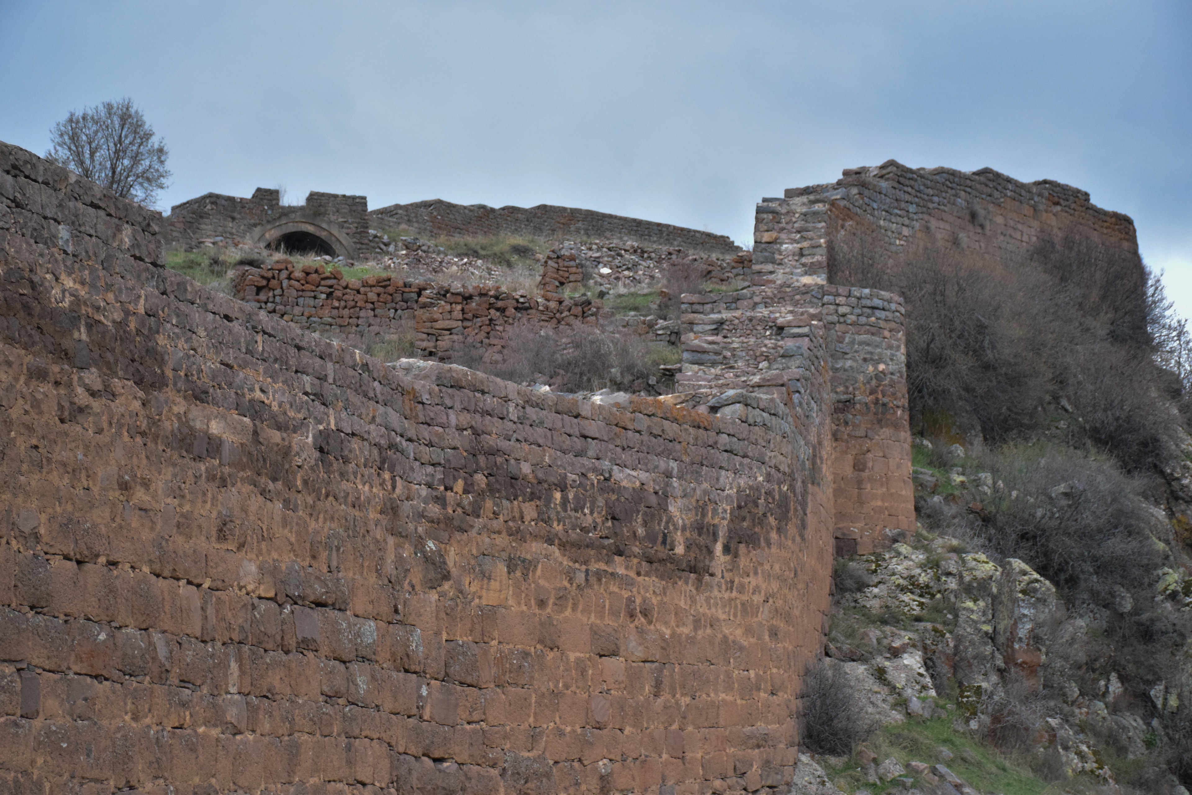
Two keeps crown the ridge, and between them run basalt walls, in places still two to three metres thick. According to legend, besieging Seljuks released a thirsty mule that pawed the ground above the hidden water line and gave away its course — the defenders are said to have surrendered without water soon after, though the story is not historically confirmed. Between these centuries-old walls, your eyes reach all the way to distant Tsakhats Kar Monastery.
Smbataberd sits on a narrow mountain ridge at around 2,000 metres, between the villages of Artabuynk and Yeghegis in Armenia's Vayots Dzor province. From the crest the slopes drop steeply on both sides, so the site is naturally protected on three sides. The basalt walls follow the ridge across roughly 6.5 hectares; in places they still stand 8 to 10 metres high, with a wall thickness of 2 to 3 metres. The fortress splits into two sections, each with its own keep. Parts were restored in 2006-2007. From the top you look out over the Yeghegis Valley, several gorges and, in the distance, Tsakhats Kar Monastery.
Offroad & access
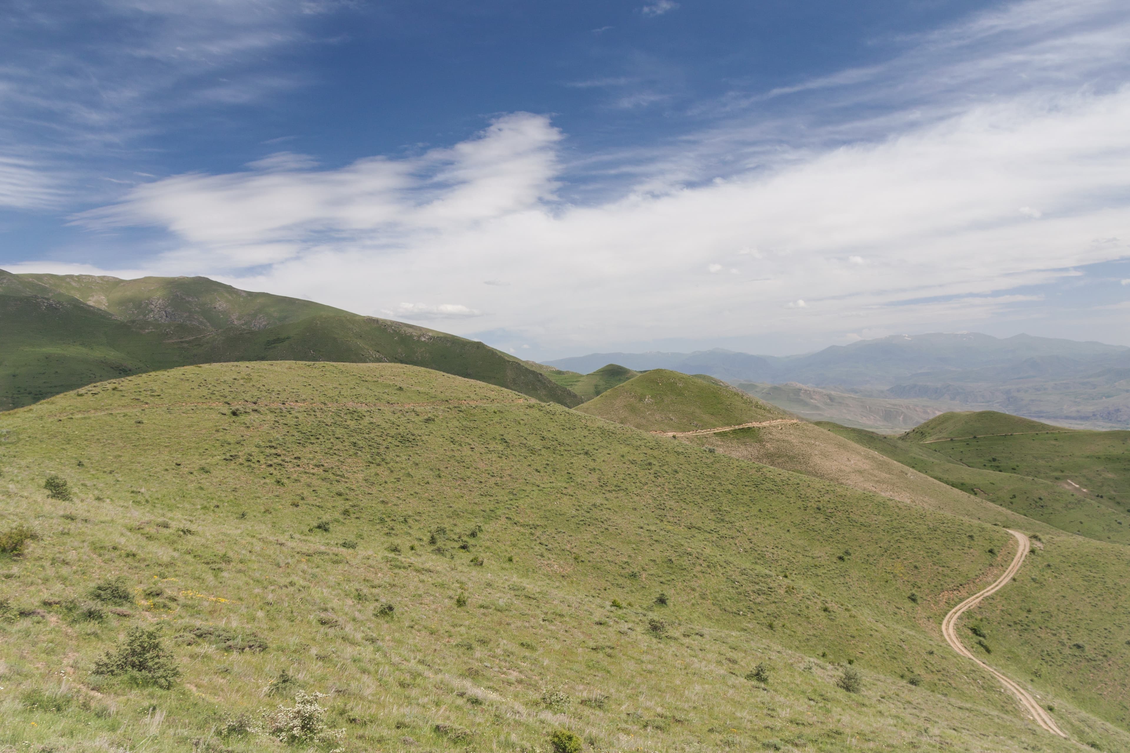
From Artabuynk a steep, winding gravel and dirt track climbs onto the ridge. The surface shifts between firm gravel and loose scree; in wet weather it washes out into deep ruts. A 4x4 with low range is required for the climb. You usually cover the final stretch along the crest on foot. Off-road rating 4 out of 5.
Smbataberd (Սմբատաբերդ, 'Fortress of Smbat'), Vayots Dzor province, ~2,000 m, on an isolated mountain ridge between Artabuynk and Yeghegis. Coordinates: 39.8717 N, 45.3381 E. Type: historical-archaeological fortress. ~6.5 hectares; basalt walls up to 2-3 m thick, preserved 8-10 m high in places; two sections, each with its own keep. Restored 2006-2007. Best time to visit: May-October. Off-road rating: 4 out of 5.
Smbataberd is among the oldest and largest fortresses in Armenia. Its origins possibly date to the 5th century. In the 10th century it was developed into the citadel of Yeghegis, seat of the princes of Syunik. After the fall of the Bagratid kingdom in 1045 it passed to the Orbelian dynasty. Under Prince Smbat Orbelian (1251-1273) it was rebuilt and reinforced in the 13th century; it remained Orbelian until the 15th century. The origin of the name is uncertain (the Syunik Smbat of the 10th century, or the Orbelian Smbat of the 13th). It controlled the surrounding valleys and passes.
According to legend, the fortress drew its water through an underground clay-pipe line from the springs near Tsakhats Kar (~1 km to the northeast). The besieging Seljuks are said to have failed to take it by force; they released a thirsty horse or mule, which pawed the ground above the hidden line and gave away its course. The line was cut, and the defenders, left without water, had to surrender. This is not historically confirmed.
Off the coach routes, reachable only by the track. From the top you get a clear view over the Yeghegis Valley, the surrounding gorges and as far as Tsakhats Kar Monastery. The basalt walls are around 800 years old, partly restored, with the layout still easy to make out.
Starting point Artabuynk. Off-road track onto the ridge; a 4x4 with low range is recommended, and in wet weather it is for experienced drivers only. The final stretch along the crest is on foot, so wear sturdy shoes. Passable May-October. At around 2,000 m bring wind and sun protection. Carry water and provisions, as there are no supplies at the top.
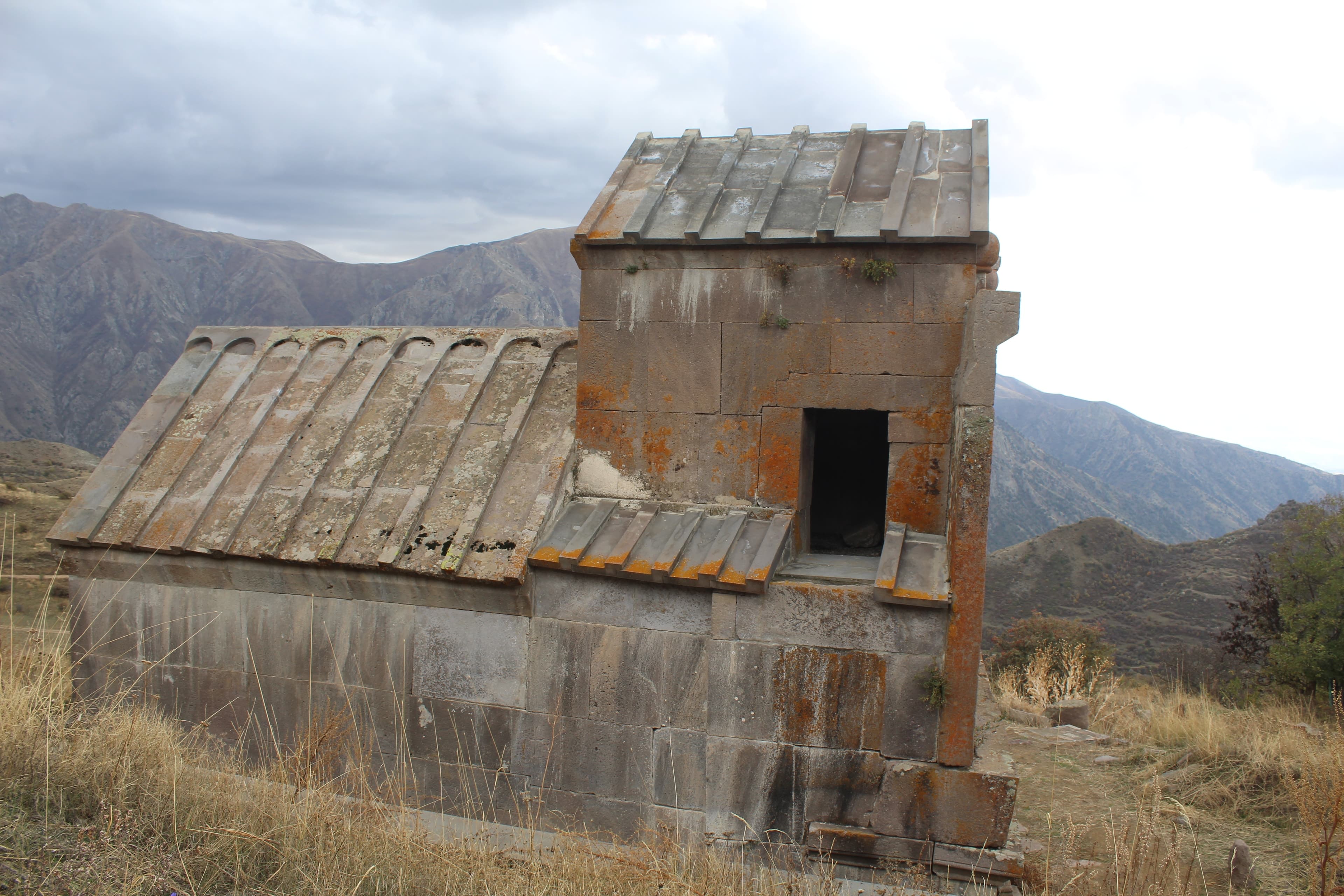
Vayots DzorMonastery
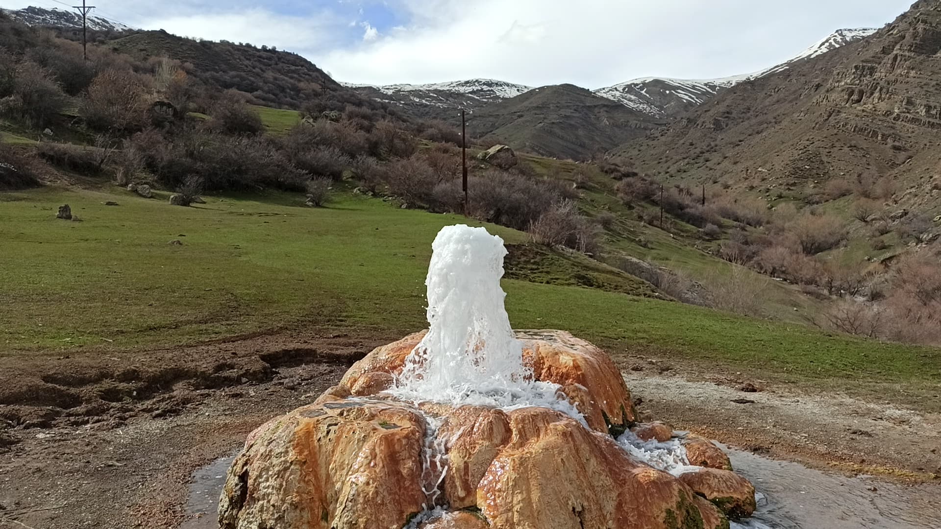
Vayots DzorGeyser
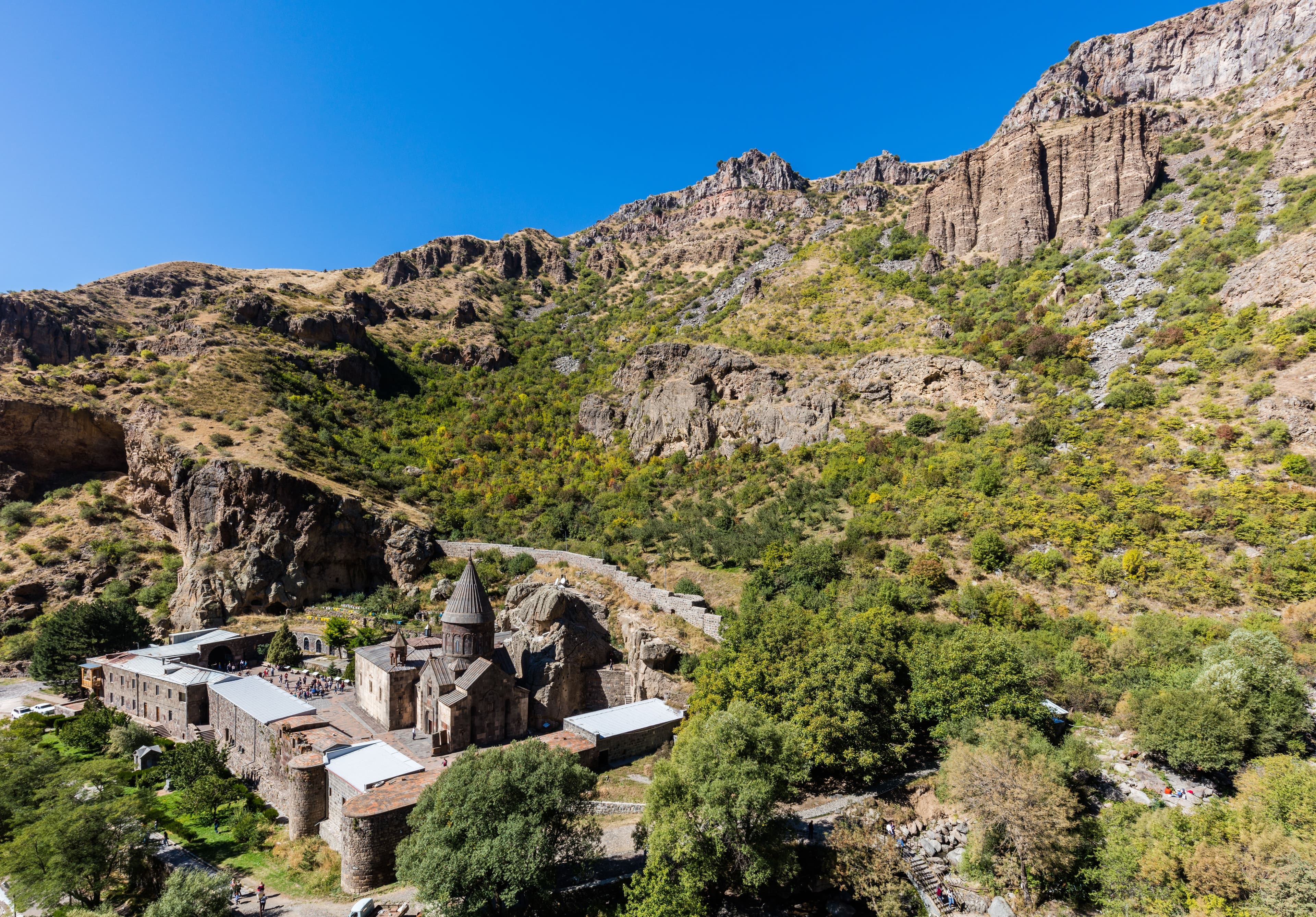
Vayots DzorMonastery
Want to reach Smbataberd? With Armenia Expeditions you drive the gravel track from Artabuynk in a 4x4 and climb to the fortress at 2,000 metres. One message — we’ll plan the rest.