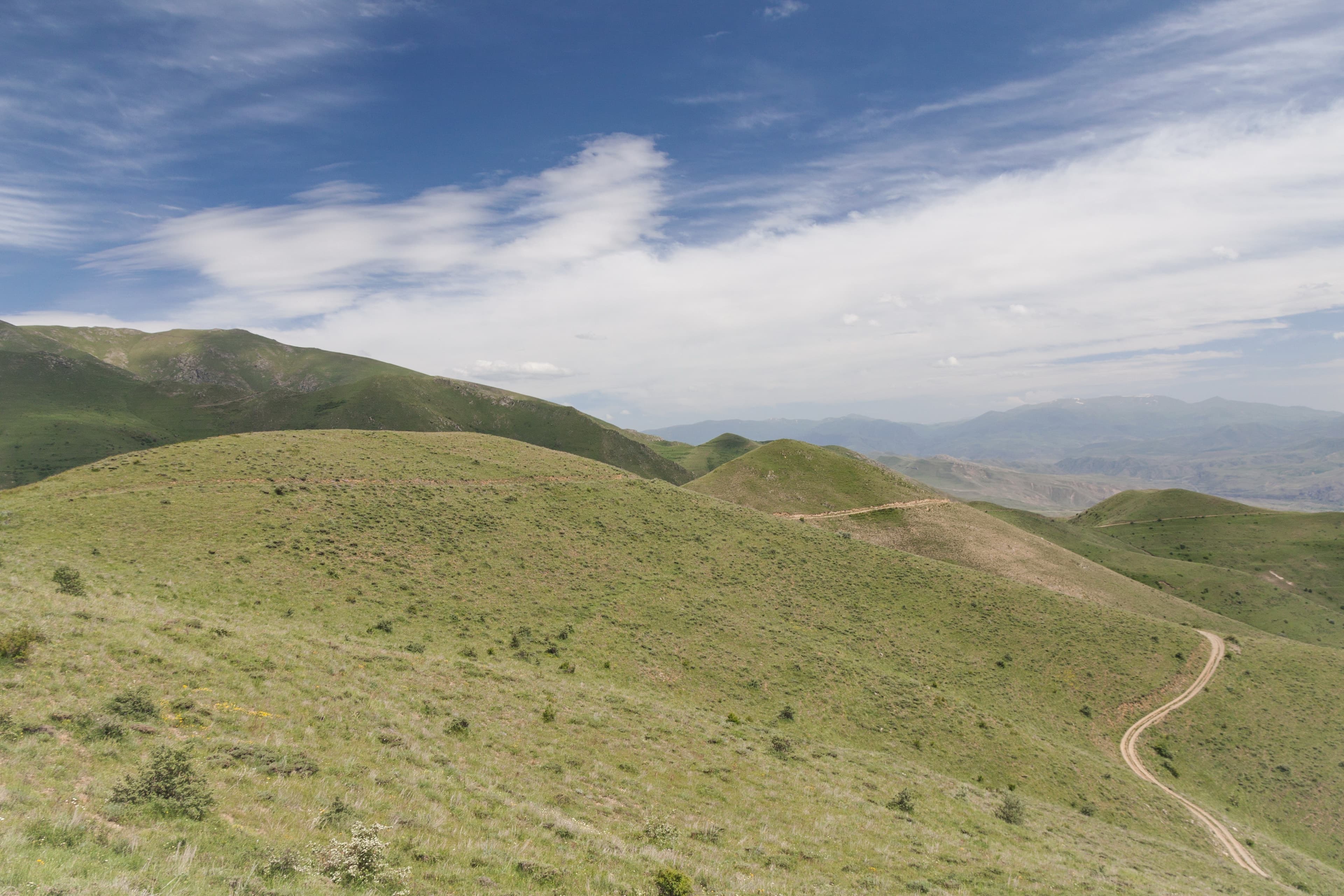
Rough track
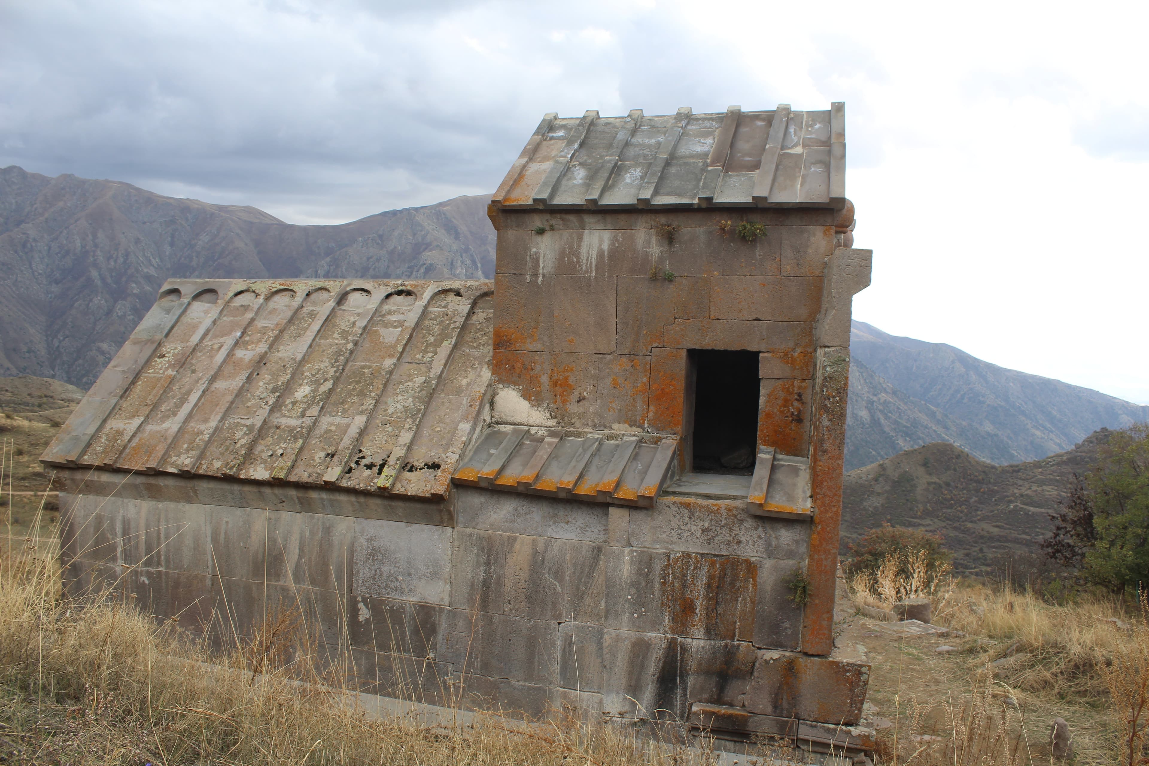
Vayots DzorMonastery
Vayots Dzor — At the end of the village of Horbategh, at around 2,000 meters on the southern slopes of the Vardenis Mountains, a mineral spring forces water from the ground in intermittent bursts. Over the years, the mineral-rich water has stained the underground and created a small, chalky mound. Access to this site is possible only via rough meadow and gravel tracks from the village.
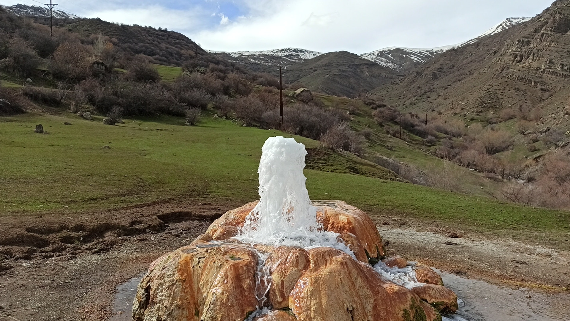
In the village, barely 240 people, a khachkar has stood beside the Church of the Holy Archangels since 1291 — old settled ground, right in the heart of volcanic Vayots Dzor. Locals credit the bubbling mineral water with healing power, though nothing confirms it; what is certain is that rising carbon dioxide drives the discharge in its periodic bursts. Two kilometres further, on the same road, Tsakhats Kar Monastery is already waiting.
The Horbategh Geyser lies at the upper edge of its namesake village in the north of Vayots Dzor, approximately 20 kilometers north of Yeghegnadzor. At around 2,000 meters elevation, at the foot of the Vardenis Mountains near the Artabun Valley, carbon-rich mineral water emerges from the ground and rises in irregular bursts. Over time, mineral deposits have formed around the discharge point, coloring the terrain rust-red, ochre, and chalk-white. Open mountain meadows surround the area, with the slopes of the Vardenis Massif beyond. The village itself has around 240 inhabitants; from the last house to the spring is just a few minutes' walk.
Offroad & access
Offroad rating: 3 out of 5. From the village, access to the spring is via rough meadow and gravel tracks. The ground is coarse, with potholes and rutted tire marks, but no river crossings. Under dry conditions, a 4x4 SUV is sufficient; after rain, the meadow section becomes muddy and slippery, making all-wheel drive clearly advantageous. The actual driving distance from the village edge is short; you cover the final stretch on foot across the mountain meadow. The challenge here lies less in distance than in uneven terrain and altitude. Allow sufficient time for the rough access and your stay on site, and drive the tracks slowly.
Location: Village of Horbategh, Yeghegis Municipality, Vayots Dzor Region, Armenia. Elevation: approx. 2,000 m. Coordinates: 39.90174, 45.3322. Type: Geyser / mineral spring (carbon-dioxide-driven, periodic water discharge). Nearest place: Horbategh. Best season: May to October. Nearby: Tsakhats Kar Monastery (approx. 2 km), Smbataberd Fortress, Yeghegis Village. In the village: a khachkar (cross-stone) from 1291 and the Church of the Holy Archangels.
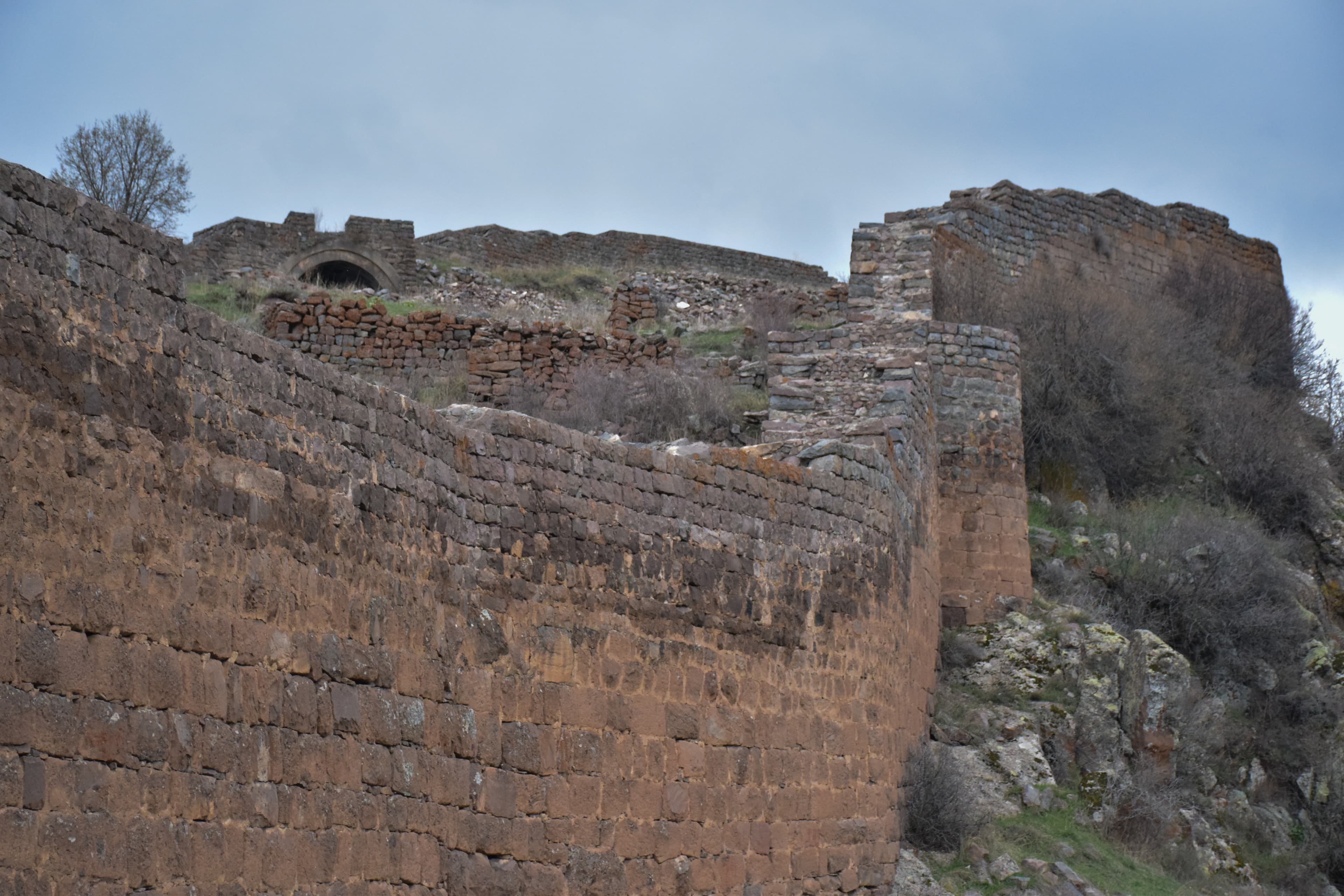
Horbategh is an ancient settlement area in the Yeghegis Valley, inhabited since the Middle Ages. This is evidenced by a preserved khachkar from 1291 and the Church of the Holy Archangels in the village. A few kilometers away stands Tsakhats Kar Monastery, whose buildings sit on a slope above the Yeghegis River between Yeghegis and Horbategh, as well as the hilltop fortress of Smbataberd. The geyser itself is not a constructed landmark but a natural geological phenomenon: in the volcanically shaped bedrock of Vayots Dzor, rising carbon dioxide dissolves the mineral water, which discharges periodically and leaves behind characteristic mineral deposits.
No independently documented legend of the geyser could be found. According to tradition, carbon-rich mineral springs like this one in the region are considered to have healing properties, and water from such outlets was valued by locals. Such attributions are passed down orally and are not scientifically verified; they belong to the local perception of the spring, not to its proven characteristics.
An active, carbon-dioxide-driven mineral spring geyser is a rare phenomenon, and this one sits off the usual routes at the end of a small mountain village. You stand directly at the discharge point, see the mineral-stained landscape up close, and have the open Vardenis slopes as your backdrop. If you are already heading to Tsakhats Kar or Smbataberd, you will find a quiet, rarely visited natural site at around 2,000 meters here, reachable only via the rough track.
Best time: May to October; in snow months, access is usually not possible. Vehicle: 4x4 SUV; all-wheel drive necessary in wet conditions. Sturdy footwear for the final stretch across the meadow. There is no infrastructure on site, so bring water and provisions. The mineral water is untested; do not drink it unfiltered. Keep your distance from the immediate discharge point; the ground there is damp and slippery. Can be combined with Tsakhats Kar Monastery and Smbataberd Fortress in the nearby area.
Vayots DzorMonastery
Vayots DzorFortress
Vayots DzorMonastery
Would you like to reach the Horbategh Geyser via the rough track from the village yourself? With Armenia Expeditions, you plan the access in a capable 4x4 and stand directly at the mineral spring under dry conditions. One message — we’ll plan the rest.