Highland Ride at Aragats
1 day
3,200 m
Aragatsotn — Four peaks wrestle around a shared crater, the highest at 4,090 metres. The extinct volcano Aragats is the roof of Armenia, snowfields holding into high summer and a view all the way to Ararat.
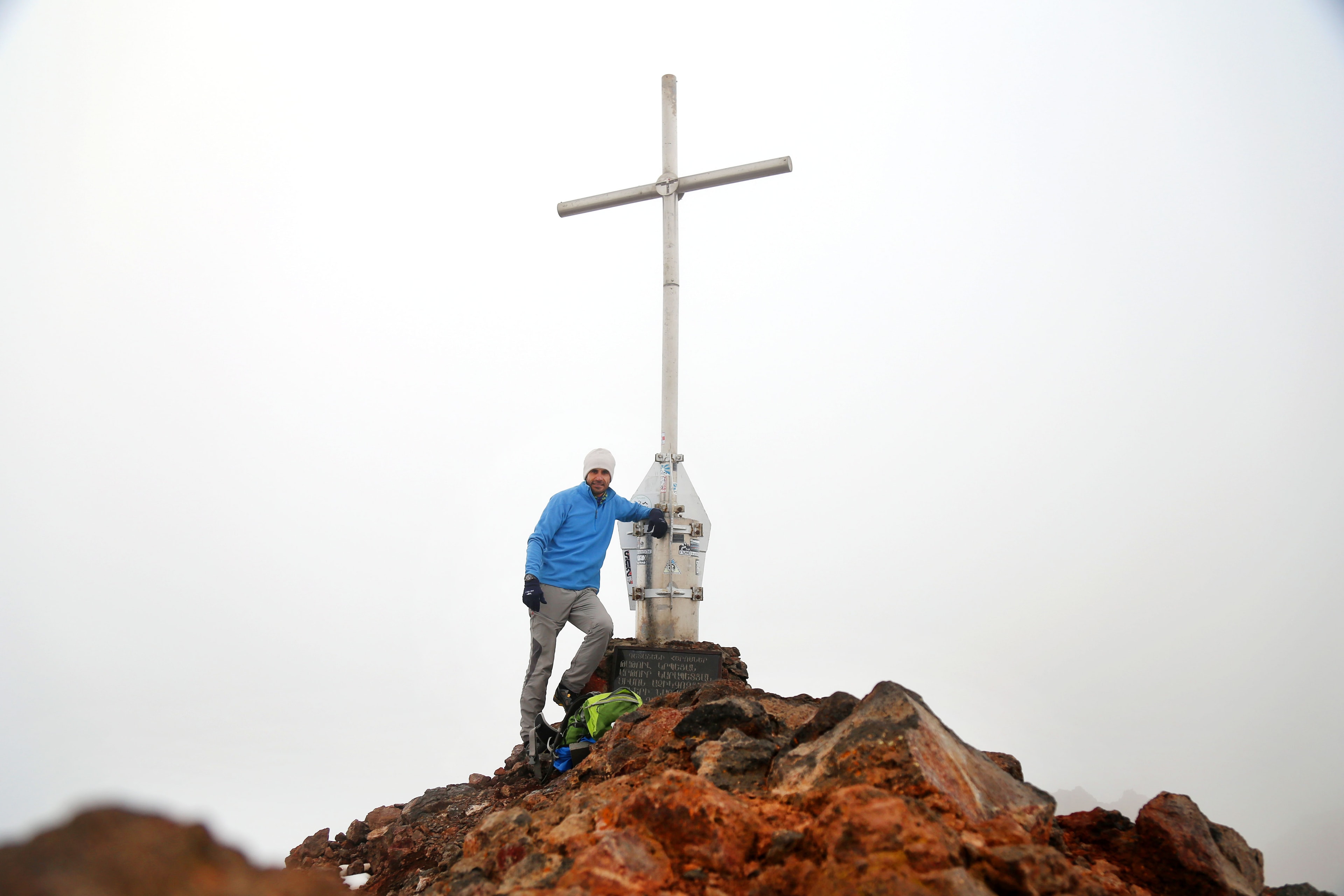
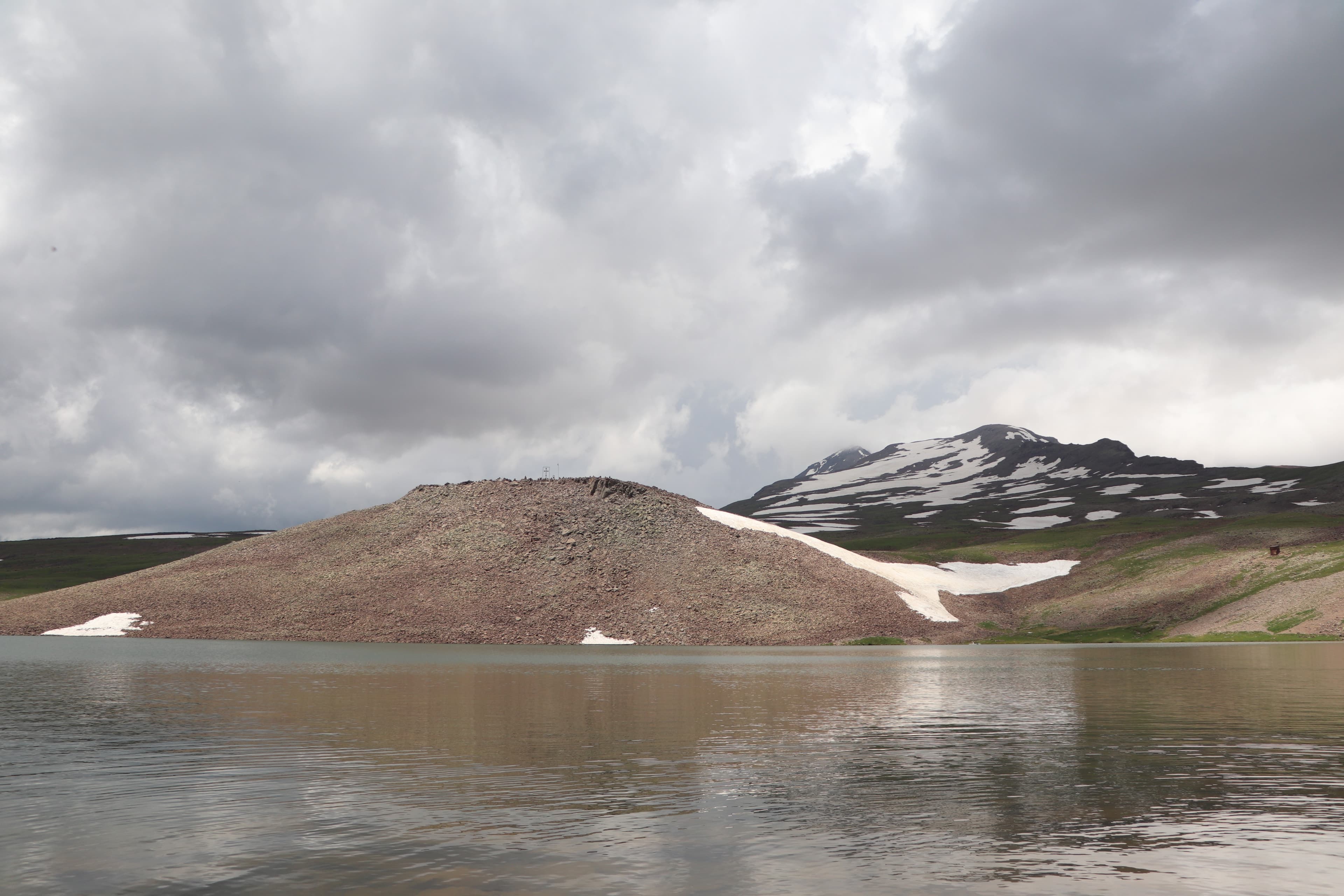
The road ends at Lake Kari, at 3,200 metres — from here on, the mountain belongs to climbers. Four peaks ring the old crater of Aragats, the highest reaching 4,090 metres, Armenia's highest point. Snowfields hold out into summer, and the air turns thin and sharp. You stand at the lake, the wind tears at you, and above you four routes wait to the top.
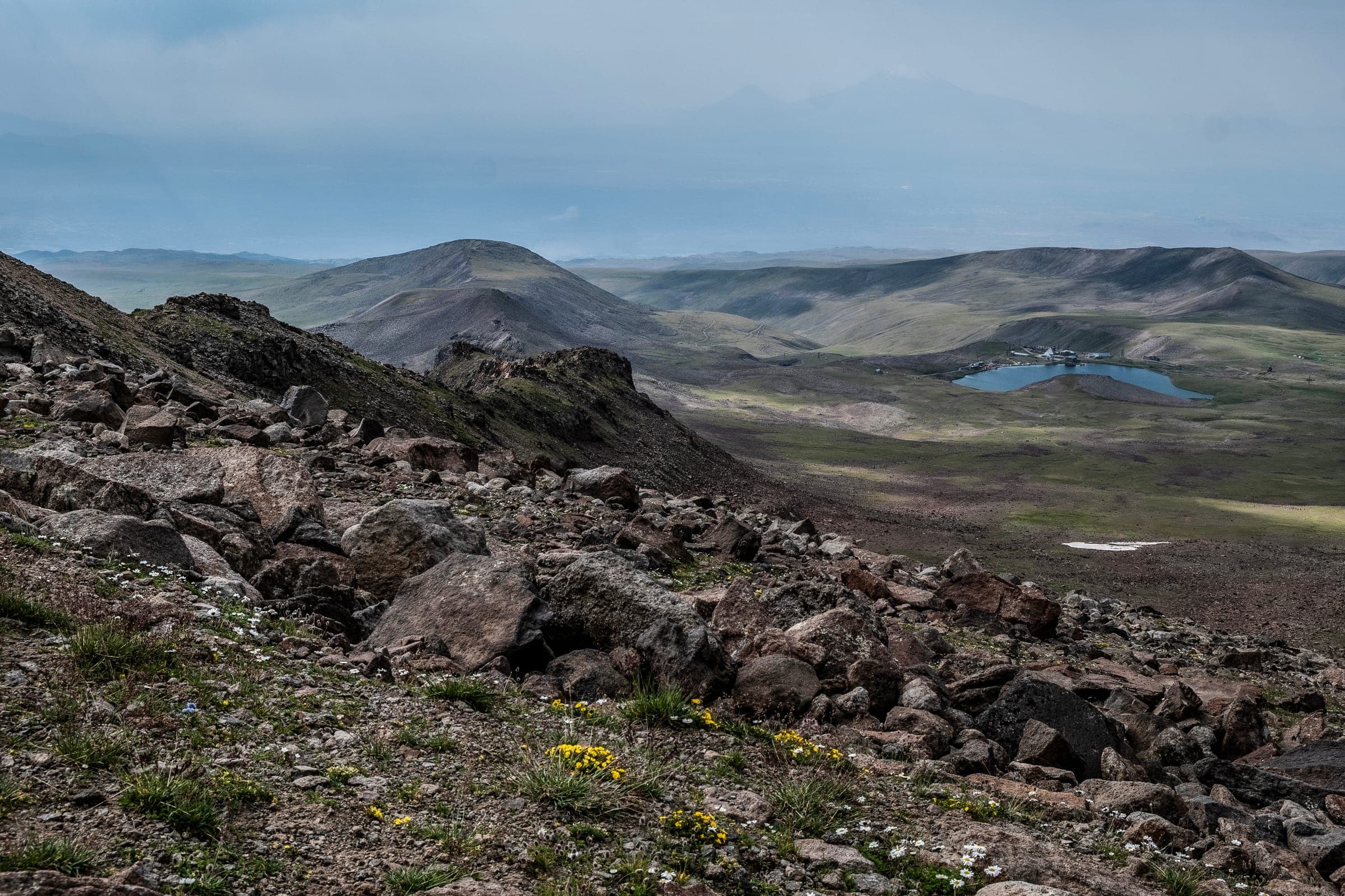
Aragats stands in Aragatsotn Province roughly 70 kilometres northwest of Yerevan. The massif formed in four volcanic phases: the oldest basalt-andesite flows date to approximately 2.5 million years ago; younger phases between one and 0.45 million years ago shaped today's outline. The North Peak at 4,090 metres is the highest point in Armenia and the entire Lesser Caucasus. Around it stand West Peak (3,995 m), East Peak (3,908 m), and South Peak (3,888 m) — all four bounding a collapse crater that today presents as a high-alpine plateau. On the southwest flank at 3,200 metres sits Kari Lake, the staging point and base camp for most ascents. Asphalt ends there; everything above is mountain terrain.
Offroad & access
Factor 4 of 5: the asphalt runs as far as Kari Lake at 3,200 metres — we take you past it. Over the southern start at Geghadzor and the remote highland lakes, we lead you in convoy onto washed-out gravel tracks with steep ramps and unguarded bends; after rain the clay turns slippery, and our lead guide carries the recovery gear. Nobody drives the summit itself: the last 890 vertical metres you walk over scree and loose blocks to 4,090 metres, the highest point in Armenia.
Extinct stratovolcano, four peaks around a collapse crater roughly 13 kilometres wide; the North Peak at 4,090 metres is the highest point in Armenia and the Lesser Caucasus. First ascent in 1843 by Khachatur Abovian and the Bavarian Moritz Wagner. At Kari Lake, at 3,200 metres, one of the world's oldest high-altitude stations has measured cosmic rays since 1943. Snowfields hold up top into August in places; best season mid-July to September.
In 1843 Khachatur Abovian and the Munich naturalist Moritz Wagner made the first documented ascent of the North Peak — Abovian had already been on the first European-recorded climb of Ararat in 1829. Since the 1940s two stations have done research on the mountain: the Byurakan Observatory on active galaxies, and the Kari Lake station on cosmic rays, built in the middle of the Second World War.
The name is said to mean 'Throne of Ara' — after Ara the Handsome, a legendary king whom the Assyrian queen Semiramis, in love, sent an army to fetch; he fell in battle. A second tradition makes Aragats and Ararat quarrelling siblings turned to stone, today divided by a state border.
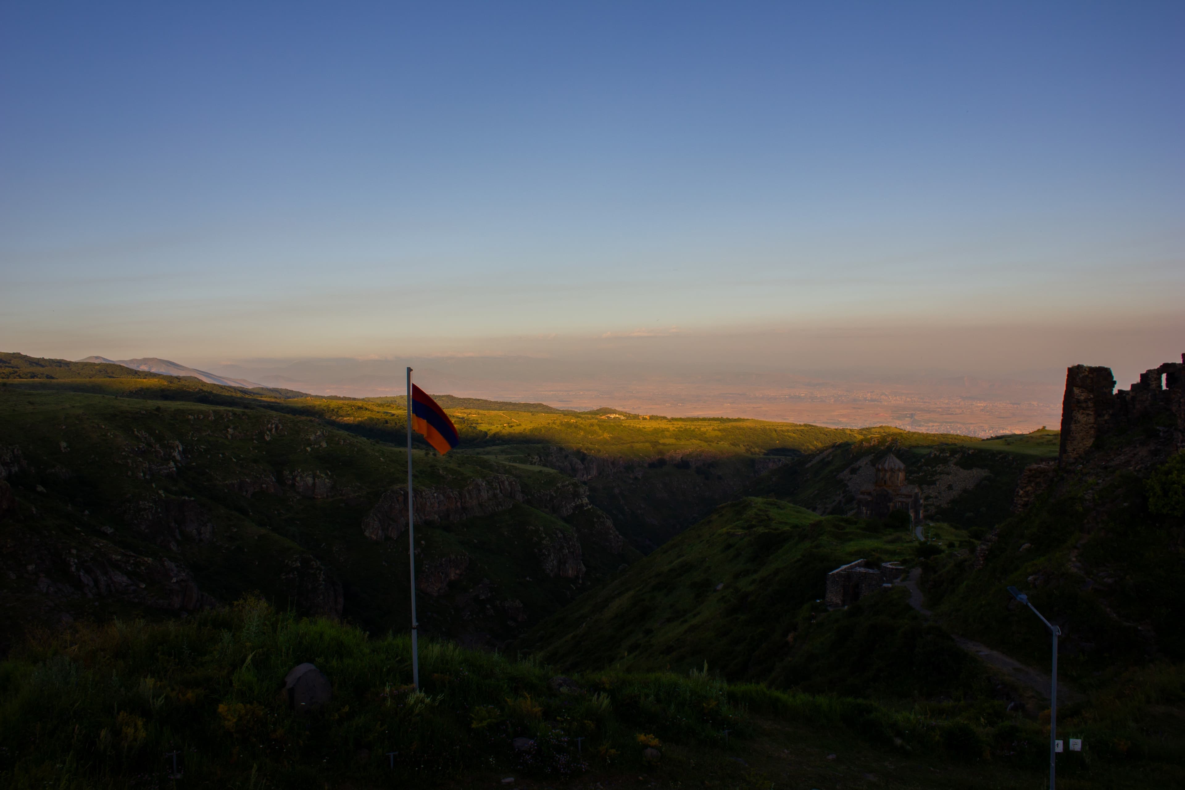
Aragats is the only four-thousander in Armenia where, on our tours, you can reach all four peaks in a multi-day expedition, and the 13-kilometre crater between them is walkable on foot. The mountain sits close enough to Yerevan for a two-hour approach — and high enough that acclimatisation stays a real concern. Over Geghadzor or the north flank, you end up on lonely highland tracks with a wide view across the Armenian plateau.
Above 4,000 metres, acclimatisation is a real concern — we build in a night at Kari Lake and set the tour to the window from mid-July to September, when the snowfields pull back. The summit stays below zero even in summer; we supply the high-altitude gear.
AragatsotnLake
AragatsotnFortress
AragatsotnMonastery
Aragats can't be ticked off in a half-day — the North Peak at 4,090 metres demands planning, acclimatisation, and the right gear. With Armenia Expeditions you explore this part of Armenia on a guided 4x4 expedition, on approach roads no guidebook maps, all the way to where the asphalt ends. One message — we’ll plan the rest.