Highland Ride at Aragats
1 day
3,200 m
Aragatsotn — At 2,300 meters, where the Amberd and Arkashen rivers carve through a gorge, stands a basalt fortress that has withstood wind, invasion, and time since the 7th century – largely on its own terms.
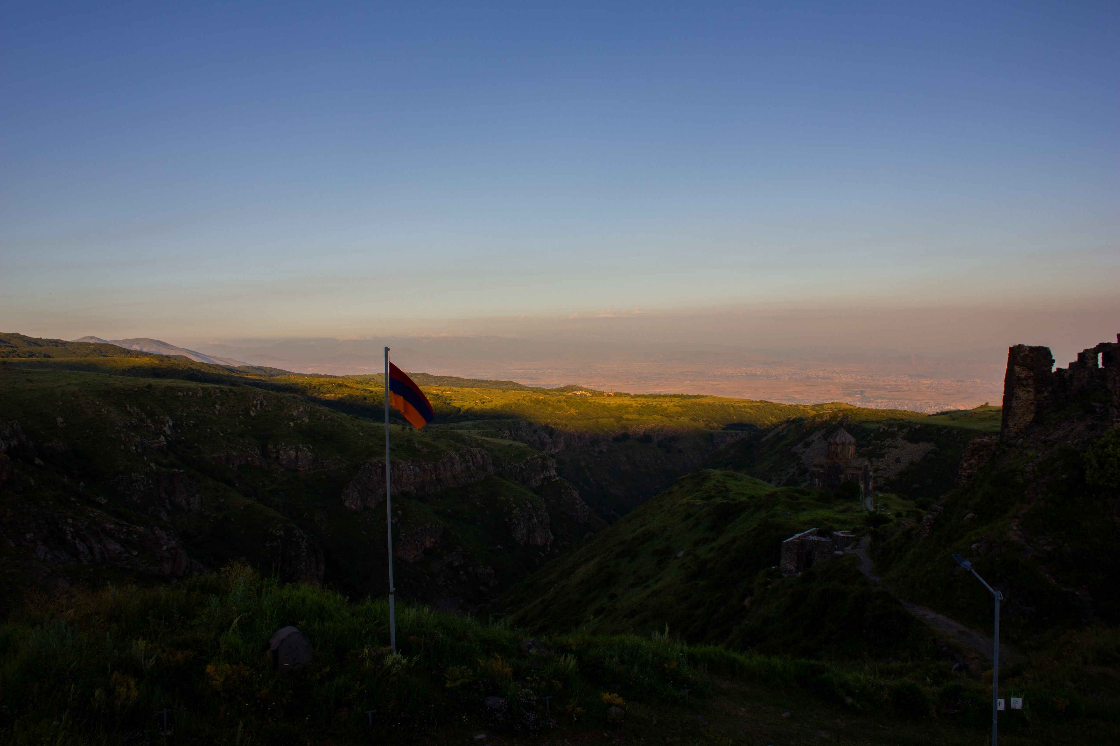
Clouds drift through the ruins of Amberd, and that’s exactly what its name means: "Amp" for cloud, "Berd" for fortress. Legend has it that attackers’ fear grew from that very invisibility — a stronghold that dissolves into the fog before your eyes. A secret tunnel once ran to the river, dug to secure the water supply during sieges. Inside the 1026 church, clay jars built into the roof reduce its weight and improve the acoustics.
Amberd sits on a narrow rocky spur on the southern slope of Mount Aragats, enclosed by two gorges that form natural moats. The name is direct: 'Amp' (Armenian: cloud) and 'Berd' (fortress) – Cloud Fortress. In cloudy conditions, mist swirls through the crumbling walls; in clear weather, the view opens across the Ararat valley to Mount Ararat itself. The complex includes basalt fortification walls, a three-story princely palace, a fully preserved church dating to 1026, a bathing facility with hypocaust heating system, and a water conduit network made from terracotta pipes that channeled spring water over several kilometers. Excavations in the 20th century fully revealed the technical sophistication of the complex.
Offroad & access
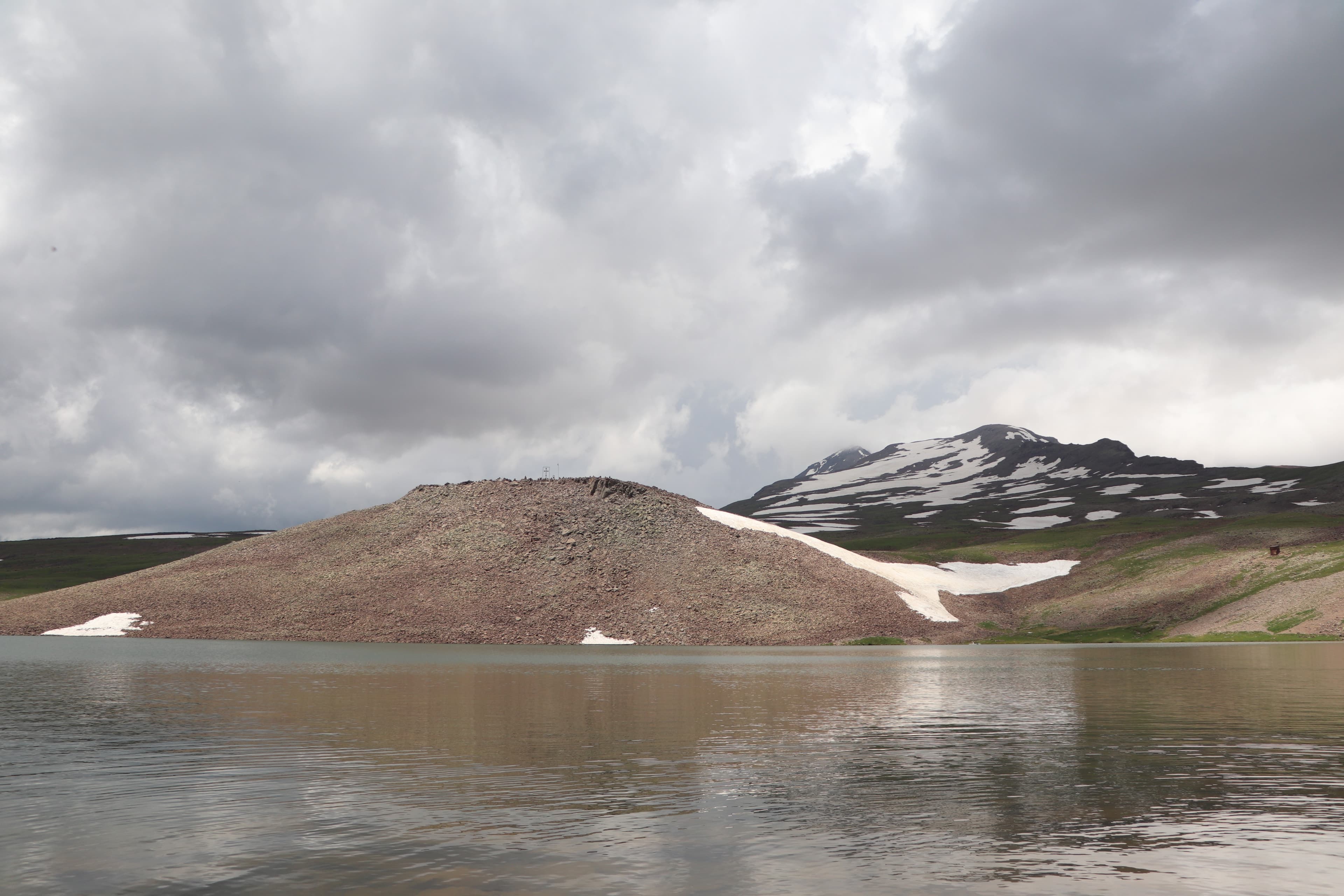
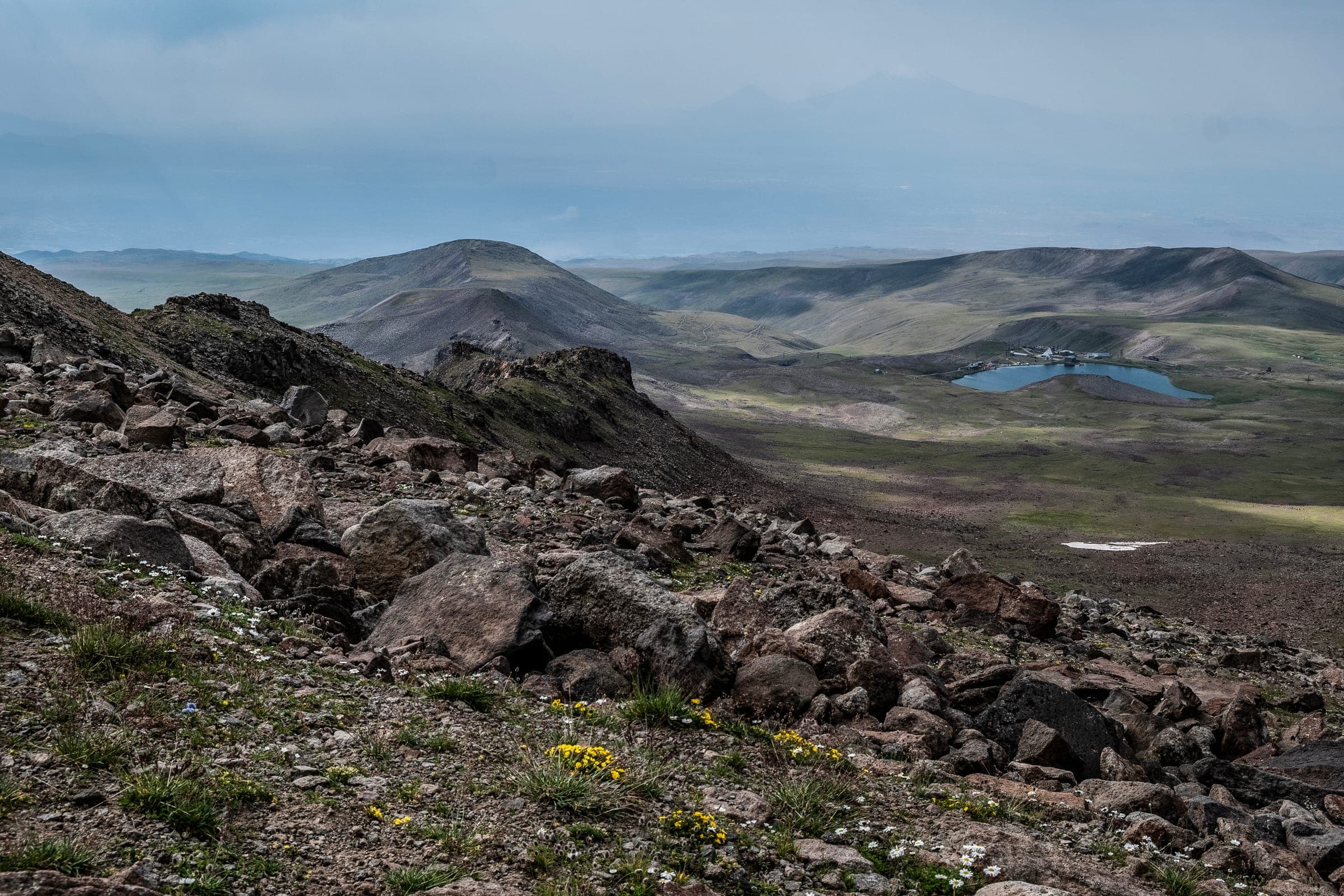
Access from Byurakan follows an asphalt mountain road that becomes increasingly rough in the upper sections, with pavement breaking apart. Potholes and patched sections become more frequent above roughly 1,800 meters. During dry conditions, the route is passable in a standard sedan, though vehicles with higher ground clearance offer greater comfort. In winter and spring until April, the road is snow-covered and impassable. Those planning to continue to Lake Kari at approximately 3,200 meters will need four-wheel drive from the fortress parking area – the track is considerably more demanding and rates 3–4 on the offroad scale.
Elevation: 2,300 m asl | Region: Aragatsotn | Coordinates: 40.3886° N, 44.2264° E | Nearest town: Byurakan, approx. 7 km southeast | Best season: May to October | Offroad factor: 2 of 5. The Vahramashen Church, built in 1026 CE, features a twelve-sided drum roof with embedded clay pots to reduce weight and improve acoustics – an unusual solution in Armenian religious architecture. The terracotta water system extended over 4–5 kilometers. A secret tunnel led to the Arkashen River to ensure water supply during sieges.
The earliest fortifications on the rocky spur date at least to the 7th century, when the Kamsarakans – an Armenian princely family of Iranian origin – established a strategic position here. Archaeological findings suggest even earlier habitation; cyclopean masonry techniques indicate use during the Bronze Age. In the 10th century, the Pahlavunis took over the complex. Under Prince Vahram Pahlavuni, the Vahramashen Church was erected in 1026, with an inscription on the north portal confirming the date. The Pahlavunis expanded the fortress and made it a fortified summer residence and outpost of the Bagratid Kingdom of Ani. In 1047, the fortress fell to Byzantium; in the 1070s to the Seljuks. In 1196, Armenian-Georgian troops under Zakare Zakarian liberated the complex, which then passed to military commander Vache Vachutjan and in 1215 became the administrative center of the Vachutjan Principality. In 1236, Mongol forces destroyed the fortress by fire. Reconstruction occurred in the late 13th century, but Timurid raids in the late 14th century ended its use permanently.
According to tradition, the name 'Amberd' stems not only from its geographical position but was understood in popular conception as programmatic: a fortress that literally vanishes into the clouds was meant to strike fear in attackers through sheer invisibility. Whether this was an intentional naming by the Kamsarakans or a later interpretation cannot be verified. In broader Armenian cultural memory, Mount Aragats – the mountain on whose flank Amberd stands – is embedded as the brother of Mount Ararat. According to tradition, both mountains received different fates: Ararat was granted vineyards and fertile land, while Aragats remained barren and stony. This narrative explains in folk tradition why Aragats, despite its mass, supports no agriculture – and why people here sought refuge in stone and elevation rather than in plains.
Amberd is one of the few medieval Armenian fortress complexes where multiple construction phases, an intact church with a verified date, and technical infrastructure – bathhouse, water system, secret passage – are simultaneously accessible. The location at 2,300 meters creates a different experience than monastery visits in the lowlands: temperatures remain notably cooler even in summer, the sky feels wider, and the view to Mount Ararat is unobstructed in clear weather. Those exploring the fortress often have the slope largely to themselves – visitor numbers remain modest even in peak season.
Access: From Byurakan approximately 7 km up the mountain road to the parking area below the fortress. No entrance fee (as of 2025). No fixed facilities on site – no kiosk or restrooms. Plan for sufficient water and wind protection; at 2,300 m, temperatures often remain below 15°C even in July. Sturdy footwear recommended; the terrain around the fortress walls is uneven and sometimes wet. Accessible May to October; road closed or snow-covered in winter and spring.
AragatsotnLake
AragatsotnMonastery
AragatsotnMountain
Armenia Expeditions brings you to Amberd with an expert-guided 4x4 excursion – departure at your chosen time, without group rush. Experience the Cloud Fortress in peace. One message — we’ll plan the rest.