Paved
KotaykFortress
Ararat — At 1,516 meters above sea level, atop a rocky ridge secured by vertical cliff faces on three sides, Kakavaberd towers above the Azat Gorge in the Khosrov Reserve – one of the few medieval Armenian fortresses where large sections of the walls remain standing.

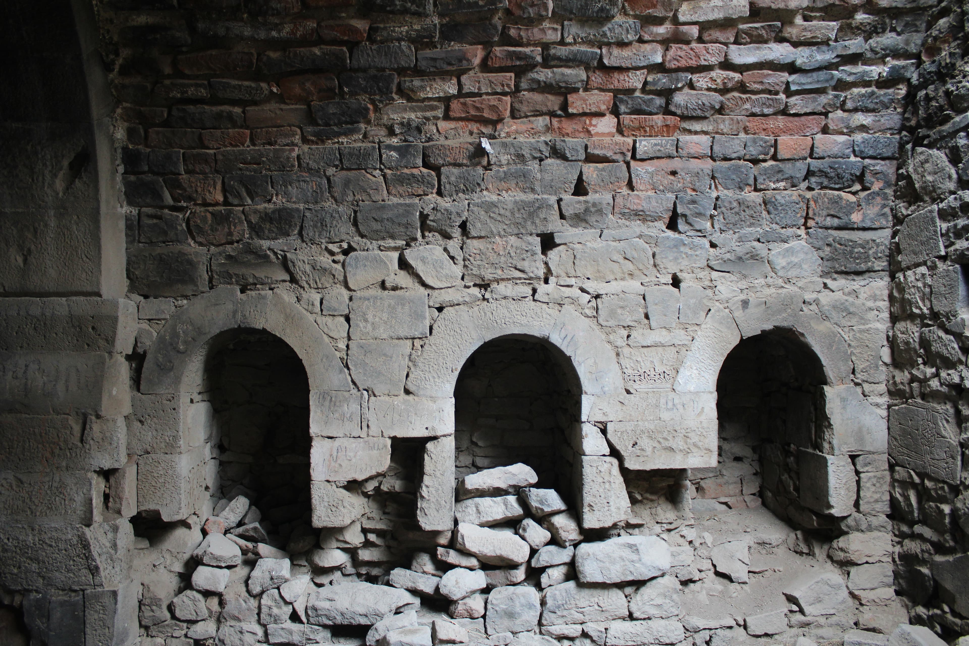
Kakav means partridge, and the fortress is said to owe its name to the birds that still nest in its cracks today. Four noble dynasties held this fortress before it vanished from the historical record in 1224: no museum protects it, no barrier tames it. From the battlements, on a clear day, the view reaches all the way to the Ararat plain. You climb over rubble-stone walls that survived an attack in 924, and up here you meet no one but the wind and the partridges.
Kakavaberd is situated in Ararat Marz, embedded within the Khosrov State Reserve east of Garni. The ridge on which the fortress stands drops away into cliff faces to the west, south, and east; access to the complex is only from the northeast. The Azat Gorge below cuts deep into the mountain range; the landscape is populated by Jericho roses, steppe grasses, and – true to its namesake – partridges. From the fortress wall, visibility on clear days extends across the Ararat Plain.
Offroad & access
The asphalt road ends at Goght or Gilan. From there, a gravel and riverbed track continues along the Azat deeper into the reserve – rough terrain, washed-out ravines, and multiple stream crossings without bridges. Depending on water levels, fords can be 30–50 cm deep; after snowmelt (April/May), passage is considerably more demanding. The final stretch to the fortress is not passable by vehicle: a steep path over scree and rock requiring approximately 30–45 minutes of climbing. Vehicle: experienced crew in a capable 4x4 with low-range and sufficient ground clearance. Solo driving without a second vehicle is not recommended due to the remote location and lack of cellular coverage. The reserve is subject to entry restrictions; a permit must be obtained in advance.
Elevation: 1,516 m above sea level. Coordinates: 40.114° N, 44.729° E. Region: Ararat Marz, Khosrov State Reserve. Nearest settlement: Goght / Garni (approx. 43 km from Yerevan). Masonry: Northeast towers 8–10 m high, wall thickness 2–2.5 m, rubble stone construction. Within the perimeter wall: ruins of a church and several outbuildings. Offroad rating: 4 out of 5. Best season: May to October.
The earliest mention of Kakavaberd dates to the 9th–10th century: Armenian chronicler Hovhannes Draskhanakerttsi – known as John V the Historian – names the fortress in his "History of Armenia" as a possession of the Bagratuni, the most powerful noble family of the time. A possible construction date is the 4th century, but it is first reliably documented through this early medieval source. In 924, Arab general Bashir attacked the fortress; Gevorg Marzpetuni, an Armenian military commander and Bagratuni ally, repelled the attack with a small garrison – an event that Armenian writer Muratsan (Hakob Melik-Hakobian) fictionalized in his 1896 historical novel "Gevorg Marzpetuni." In the 11th century, Kakavaberd passed to the Pahlavuni, one of the most influential families in medieval Armenian church history. In the 12th–13th centuries, the Proshyan Dynasty took control as vassals of the Zakarians, who administered much of Armenia after the Seljuk expulsion. The final historical record dates to 1224: Ivaneh Zakaryan (also called Ivane Mkhargrdzeli), an Armenian-Georgian military commander, fled into the fortress after a defeat near Garni. After this, Kakavaberd disappears from written sources. Armenian writer Aksel Bakunts immortalized the fortress in his story "Alpine Violet," describing it as shrouded in clouds with battlements lost in white.
The name Kakavaberd derives from Armenian: "kakav" (partridge, Կաքավ) and "berd" (fortress, բերդ). According to tradition, the fortress received this name because partridges nest in great numbers on the ridge and in wall crevices – in Armenian folk tradition, the bird symbolizes difficult, mountainous terrain. The older name Geghi Berd (Գեղի բերդ) refers to the Geghama highlands into whose foothills the fortress was built. No separately documented legend of the fortress exists in available tradition; the name's origin itself is the most salient locally-rooted explanation.
Kakavaberd is one of the few Armenian mountain fortresses where masonry and tower construction have remained largely intact – no museum, no visitor center, no barriers. The combination of pristine nature reserve, genuine historical substance spanning four dynasties, and technically demanding access makes it an interesting destination for 4x4 tours with a historical focus. Those who reach the fortress have the gorge, reserve, and summit location to themselves.
Permit: Entry to the Khosrov Reserve is permit-required – submit application in advance through the reserve administration. Starting point: Goght or Gilan (Ararat Marz). Driving time from Yerevan: approx. 1–1.5 hours to Gilan, then offroad section. Climb to fortress: approx. 30–45 minutes on foot, sturdy footwear required. Infrastructure on site: none. Water and provisions must be brought in full. No cellular coverage in the gorge. Vehicle: 4x4 with low-range, ground clearance minimum 250 mm. Travel season: May–October; after rain, fords are deeper and track more slippery.
KotaykFortress
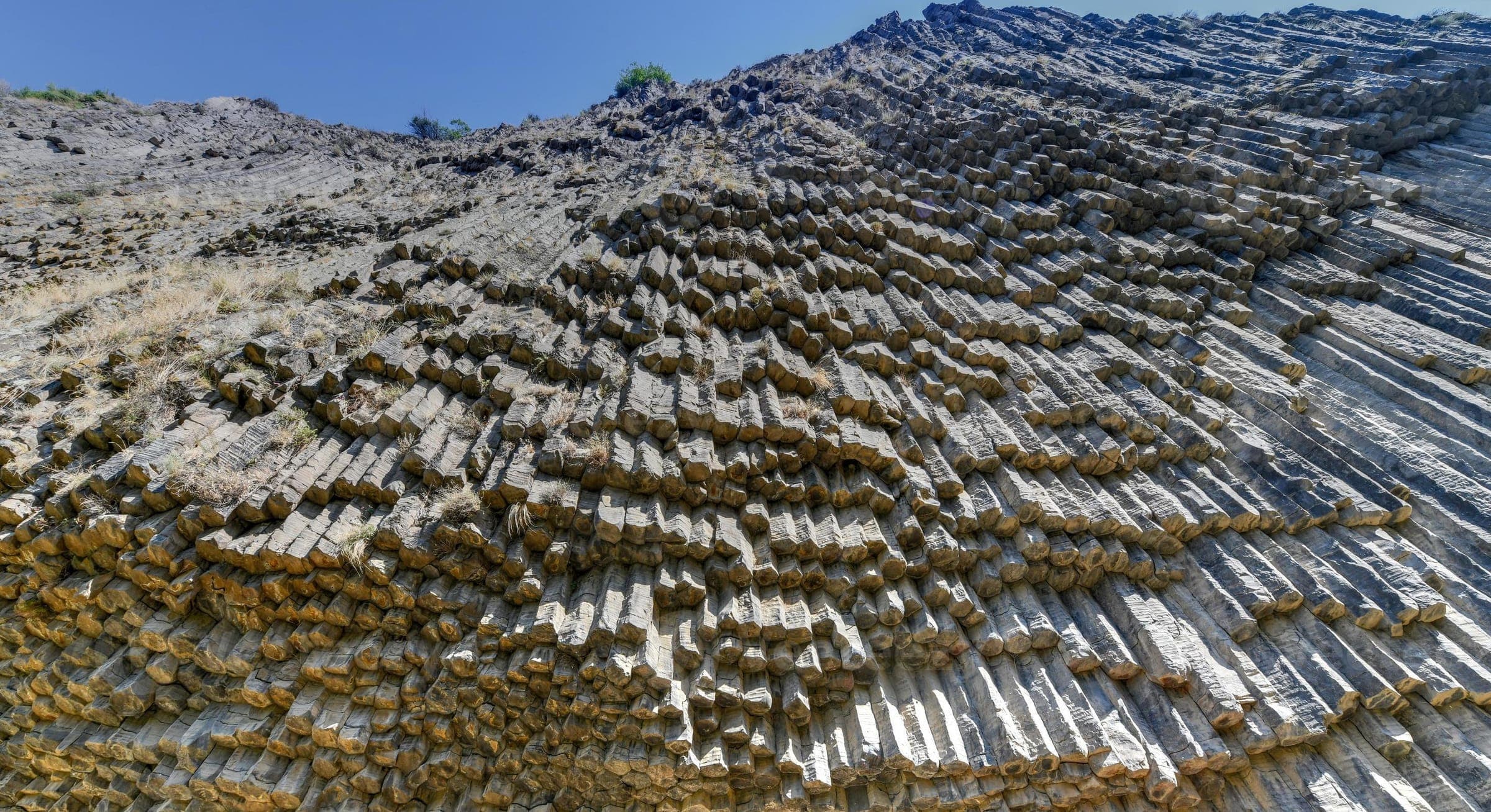
Garni gorge, KotaykNature
AraratMonastery
Kakavaberd is not a spontaneous excursion – permits, vehicle, and route require preparation. Armenia Expeditions secures the reserve permit, plans the approach along the Azat, and guides you safely onto the fortress ridge. One message — we’ll plan the rest.