Gravel
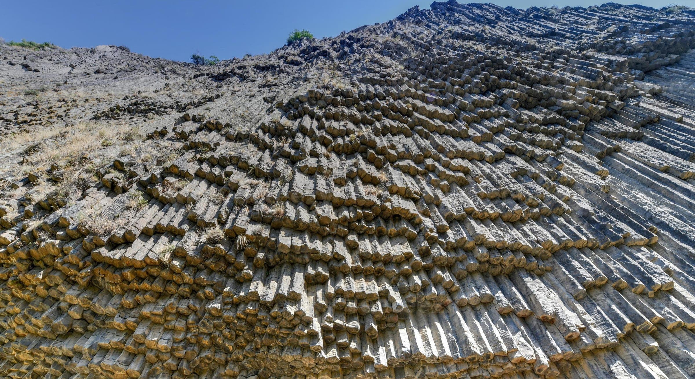
Garni gorge, KotaykNature
Ararat — On a forested rocky spur high above the Azat River lie the ruins of Havuts Tar – a medieval monastic complex that for centuries served as an Armenian writing centre and keeper of relics, its oldest gospel still used at the inauguration ceremonies of Armenian state presidents.
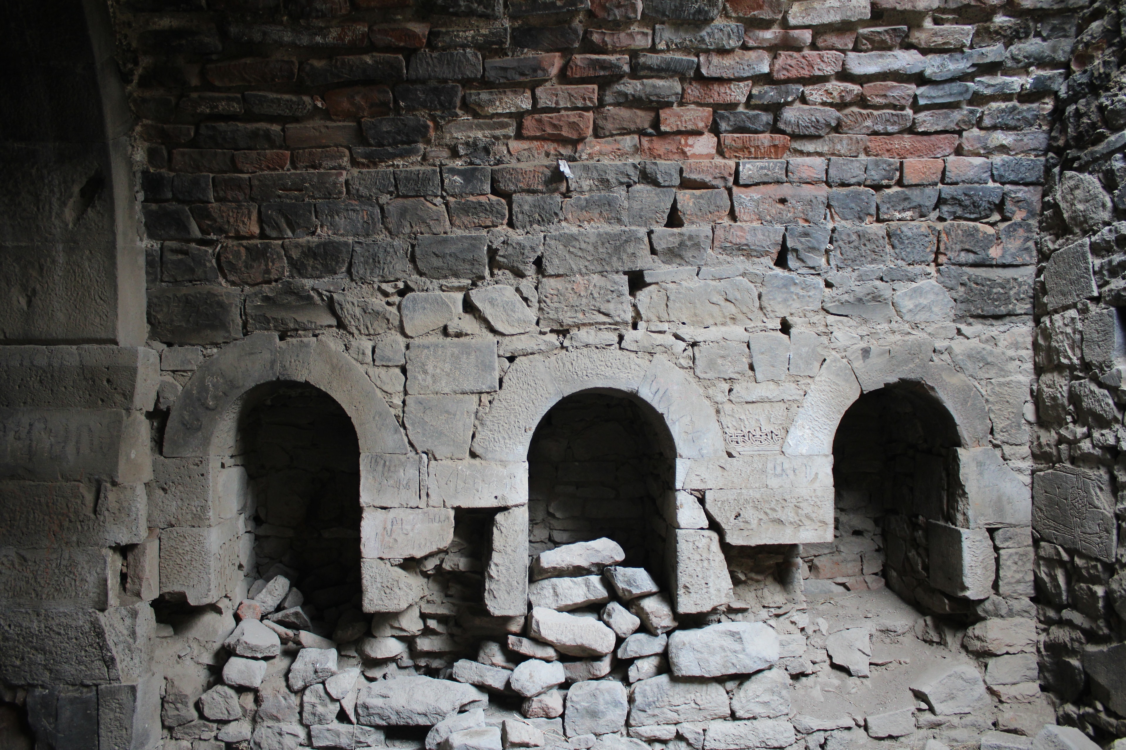
Black and red tuff alternate across the hilltop church like a checkerboard. Grigor Magistros had received a carved wooden cross that had already passed through the hands of a Byzantine emperor and an Armenian king; in 1013 he had the church rebuilt and brought the cross here to the monastery. An earthquake destroyed much of the complex in 1679, and a second raid in 1755 ended monastic life for good. Today three groups of ruins lie scattered across the ridge, with no restoration and no tourist infrastructure.
Havuts Tar sits on a mountain spur on the left bank of the Azat River, some 31 kilometres east of Yerevan, within the Khosrov Forest Reserve. The complex stands at approximately 1,450 metres elevation, beyond the steep gorge cut that separates the monastery ruins from the access road. The reserve itself ranks among the world's oldest state nature protection areas – founded in the 4th century by King Khosrov III – and provides the monastery with a setting that reaches deep in both geological and historical terms. Three building groups, standing up to 500 metres apart, spread across the ridge: the walled main complex, the hilltop church with its chequerboard pattern of red and black tuff, and the Chapel of Saint Karapet. What survives shows a blend of Romanesque solidity and the typical 13th-century Armenian cross-vault style.
Offroad & access
Access to Havuts Tar runs from Garni or Goght over unpaved earth and gravel tracks into the Khosrov Reserve to the edge of the gorge terrain – rough, irregular tracks with potholes, root breaks, and on damp ground slippery clay passages (off-road rating 3). A 4x4 vehicle with sufficient ground clearance is recommended; in dry summer and autumn conditions, high-clearance SUVs can pass, but in wet weather the route becomes more demanding. The drive ends at the gorge edge; from there, approximately 30 minutes of walking – totalling some 2.4 kilometres return – leads up to the monastery. The path climbs consistently but is not technically difficult. Sturdy footwear suffices; from the surroundings, views open into the Azat Gorge, which cuts several hundred metres deep at this point.
The monastery was founded in the 4th century according to verified sources; the first major construction phase dates to the early 11th century, when Prince Gevorg Marzpetuni built the Amenaprkich Church and endowed the monastery with the village of Goght and further lands. In 1013, Grigor Magistros Pahlavuni – scholar, poet, and later Byzantine title-holder – rebuilt the church and presented the monastery with a wooden carved cross called Amenaprkich (Saviour), which he had received from Armenian King Gagik I (989–1017), who in turn had held it as a gift from Byzantine Emperor Basil II. The original now resides in the Echmiadzin Museum. From the 13th to 15th centuries, Havuts Tar developed into a significant writing centre on the Armenian highlands of Ayrarat; the earliest documented scriptorium manuscript dates to 1214, written by the miniaturist Ignatius. The monastery also preserved what is known as the Vehamor Gospel – according to Armenian tradition, one of the oldest complete gospels in the Armenian language, dated to the 7th century and now housed at the Matenadaran Institute in Yerevan; Armenian presidents traditionally place their hand on it during inauguration. The 1679 earthquake destroyed the main building complex largely. Between 1715 and 1725, Catholicos Astvatsatur of Hamadan directed a reconstruction; a second Lezgi invasion in 1755 ended monastic life permanently. The pilgrim Abraham Kretatsi documented his visit in writing in October 1734.
The founding phase of Havuts Tar is historically documented multiple times, though the oldest layers blur between tradition and inscription. It is established that the complex received its first documented institutional expansion in the early 11th century under Prince Gevorg Marzpetuni. Grigor Magistros Pahlavuni, one of the remarkable medieval Armenian intellectuals – author of a grammatical treatise, a 1,000-verse biblical poem, and a corpus of letters now valued as a source for Byzantine-Armenian diplomacy – restored the Amenaprkich Church in 1013. Over the following two centuries, under the patronage of successive donors, the core of today's ruin ensemble took shape: the hilltop church of black and red tuff in chequerboard pattern (13th century), the Karapet Chapel (1213), and the walled main complex with an underground chamber, presumably serving as scriptorium and archive. Inscriptions in the hilltop church document donations and restoration works by church princes and local nobles. From the 13th century onward, the monastic school drew scribes and miniaturists from the region; at least one gospel from this era – that of the miniaturist Ignatius (1214) – survives. The 1679 earthquake abruptly interrupted this activity. Catholicos Astvatsatur directed the reconstruction of parts of the complex in the 1720s using stone from the destroyed old structure; planned expansions were cut short by the Lezgi incursions of the 1750s. Since then, the complex has stood empty.
According to tradition, the first monastery cell on the Havuts Tar spur was founded in the 5th century by Sahak Partev and Mesrop Maschtots – the two church fathers credited with the invention of the Armenian alphabet (405 CE). A historically documented connection between the two and this specific place is not secured in sources; the attribution belongs to the type of pious foundation legends common in Armenian monastic traditions. The monastery's name derives from the Armenian term "Hayots Tar" – Hill of the Armenians (Hay) ; according to local interpretation, the name is said to refer to an early refuge of Armenian Christians in the gorge. What is documented, however, is the history of the Amenaprkich cross: the Byzantine Emperor Basil II is said to have sent it to King Gagik I of Armenia as a gift on the occasion of an alliance; from Gagik it came in 1013 to Prince Gevorg and thus into the monastery's possession. The carved wooden cross, depicting the descent from the cross, is today to be seen in the treasury of Echmiadzin.
Havuts Tar is not signposted on any major Armenian tourist route. The Khosrov Reserve has its own admission conditions; the footpath to the monastery leads through dense forest with views into the Azat Gorge. Those familiar with the well-known sites near Garni – the Hellenistic temple, Geghard Monastery – will find in Havuts Tar a different experience: no restoration, no tourist infrastructure, but readable building substance from three epochs in close quarters. The Vehamor Gospel, preserved here for nearly 700 years, is today the book an Armenian state president swears upon at inauguration – a connection that anchors the place in Armenian cultural memory without its being visibly part of that remembrance itself.
Best travel season: April to November; summer months (July/August) are dry and most convenient for the track, spring and autumn offer more pleasant temperatures. Vehicle: 4x4 with ground clearance of at least 20 cm recommended; gravel and earth tracks in the reserve, no asphalt beyond the entrance area. The Khosrov Reserve requires an entry permit (to be obtained on-site or in advance). Bring sturdy footwear for the walking portion; no refreshment facilities on-site. Nearest village: Garni (approx 6–8 km), where food and fuel are available. Cellular: unreliable in the reserve; download offline map (Maps.me or OsmAnd with Armenian reserve data). Save the coordinates of the walking path starting point in advance: ~40.1230° N / 44.7689° E.
Garni gorge, KotaykNature
KotaykFortress
AraratFortress
Are you interested in visiting Havuts Tar with a capable 4x4 and expert local guidance? Armenia Expeditions arranges the access permit for the Khosrov Reserve, the approach road, and the route. One message — we’ll plan the rest.