Rough track
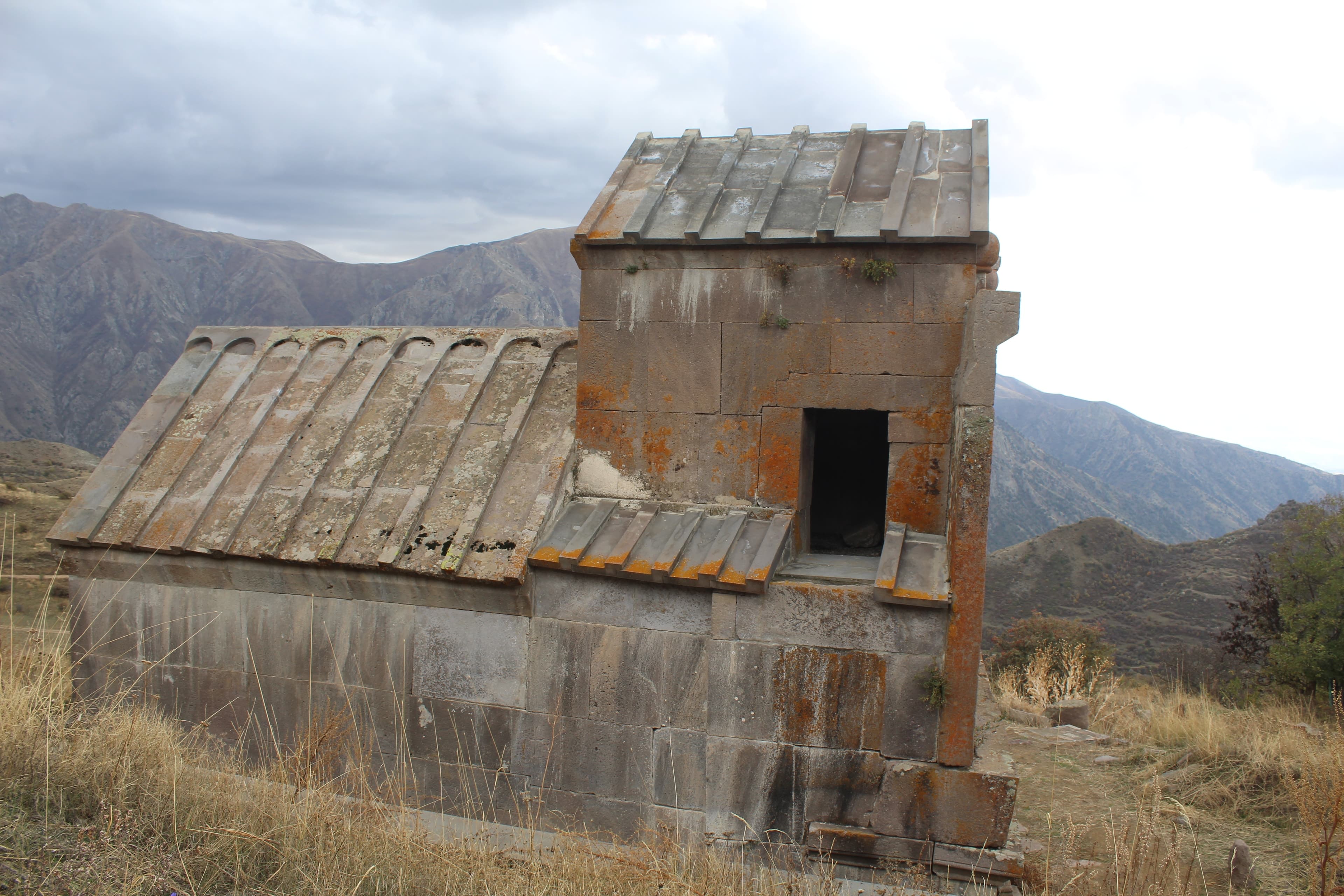
Vayots DzorMonastery
Vayots Dzor — At 3,522 meters, Mount Vardenis forms the highest point in Vayots Dzor region: an extinct volcano with a lava cone whose northern slopes descend gently toward Lake Sevan while its southern face drops steeply into gorges. Tracks end at the alpine meadows; reaching the summit is a hiking undertaking.
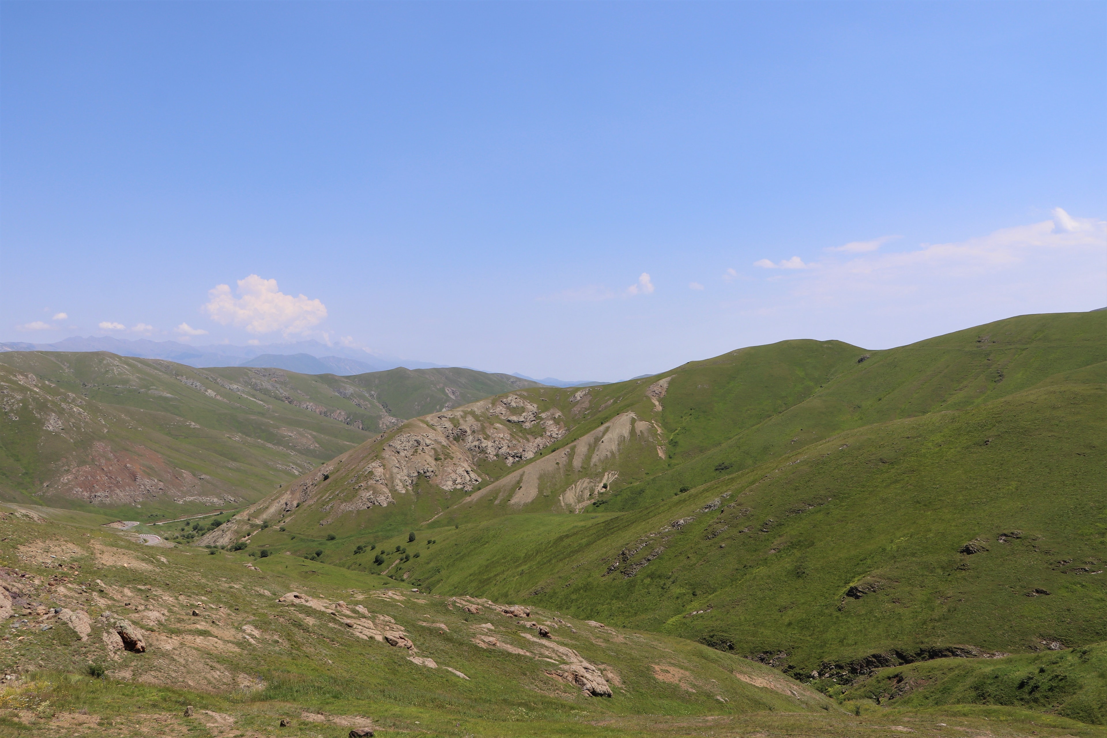
Its name traces back to the Armenian word for rose, and tradition holds that the alpine meadows turn pink at the height of summer, before snow and lava reclaim the slopes. The 78-kilometre range separates two water worlds: on one side, Lake Sevan gathers; on the other, cold springs feed the headwaters of the Arpa valley.
Mount Vardenis rises at the northern edge of Vayots Dzor, where the Vardenis mountain range forms a natural barrier south of Lake Sevan's basin. The summit is an extrusive volcanic cone atop a long mountain ridge composed of relatively young lava flows. From below the peak appears unremarkable—broad and rounded; its summit hosts stone fields, loose lava blocks, and snowpatches persisting through summer. The surrounding alpine meadows turn green in July and are threaded with cold springs; wind sweeps unobstructed across the open slope. Road access climbs from the Yeghegis valley and Selim Pass into this trackless highland.
Offroad & access
Offroad rating 5. Via alpine meadows and volcanic tracks, ascent reaches approximately 3,000 meters. The surface consists of loose lava and scree; the slope is sometimes steep and eroded; no marked road exists. Route-finding across open terrain is necessary, as are snowfields persisting into summer. Low-range gearing and a 4x4 with ground clearance are mandatory, as is driver experience in loose, steep terrain. The final stage to the summit is hiking only—expect scrambling over stone fields and blockfields. Plan the ascent as a full-day objective and allow generous time for the slow progress across unstable ground.
Height: 3,522 m—the highest point in Vayots Dzor region. Type: extinct volcano (extrusive cone) on the Vardenis mountain range, which forms the boundary between Vayots Dzor and Gegharkunik. The ridge separates the Sevan basin from the Arpa valley and serves as watershed; east-facing slopes are rich in cold springs. Coordinates: 39.9953 N / 45.5294 E. Nearest settlements: Yeghegis / Selim. Best season: July through September. Snow persists in sheltered locations through summer.
The Vardenis range extends roughly 78 kilometers and has long served as a natural barrier between the Sevan basin and the fertile south. At the southern foot of the massif, at Vardenyats (Selim) Pass at 2,410 meters, stands a caravanserai building that the princely family Orbelian—Tsesar Orbelian and his brothers—erected in 1332 according to a building inscription, to shelter travelers and animals on the Armenian segment of the Silk Road. In that era Vayots Dzor belonged to the Kingdom of Syunik under Orbelian rule. For centuries this pass at Vardenis's foot channeled east-west trade until the route lost significance in the 15th/16th century.
The name Vardenis derives from the Armenian word "vard" (վարդ), meaning «rose,» which traces back through Parthian to Old Persian. According to tradition, the name alludes to the rose-colored alpine meadows that spread across the slopes in high summer before snow and lava regain dominance. No distinct mythological figure is securely tied to the peak; the name's meaning as «rose place» remains the most tangible tradition.
Vardenis is the highest point in an entire region yet seldom visited—there is no developed road, no marking, no mountain infrastructure. Those who drive here traverse trackless volcanic paths through a highland most travelers never glimpse. The appeal lies in the combination of genuine offroad driving over loose lava terrain, the expansive view from a watershed overlooking two valley systems, and the silence of alpine meadows above 3,000 meters. This is terrain for those who regard the drive and ascent themselves as the goal.
Best season is July through September; before and after, snow blocks the upper tracks. Starting point is the Yeghegis area and Selim Pass. Prerequisites are a 4x4 with low-range gearing and ground clearance, plus driving experience in steep, loose terrain. Bring warm clothing—at altitude it remains cold and windy even in summer; snowfields are possible. Water can be found at the cold springs on the east-facing slopes; however, plan to carry sufficient provisions, food, and sturdy footwear for the summit hike. Weather can shift rapidly; without local knowledge, a guide is advisable.
Vayots DzorMonastery
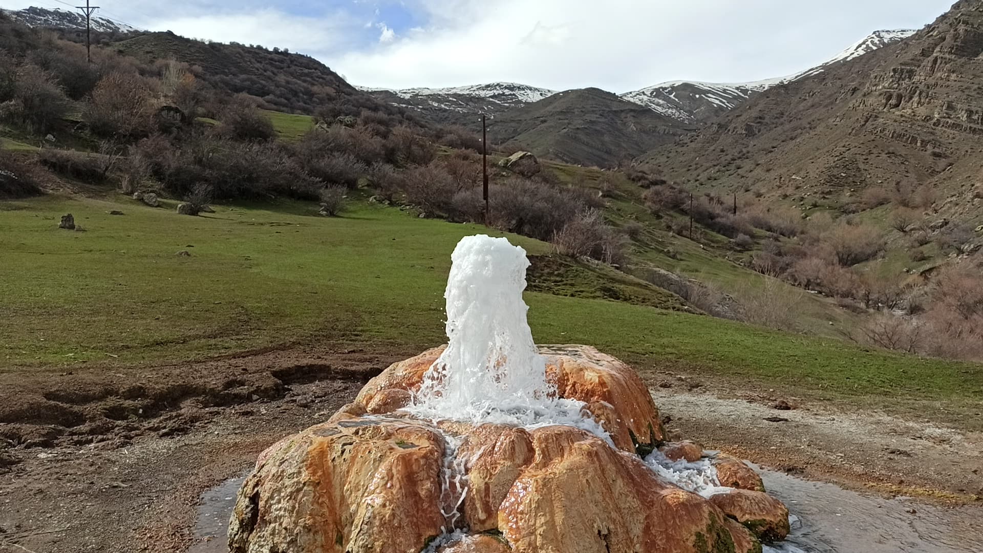
Vayots DzorGeyser
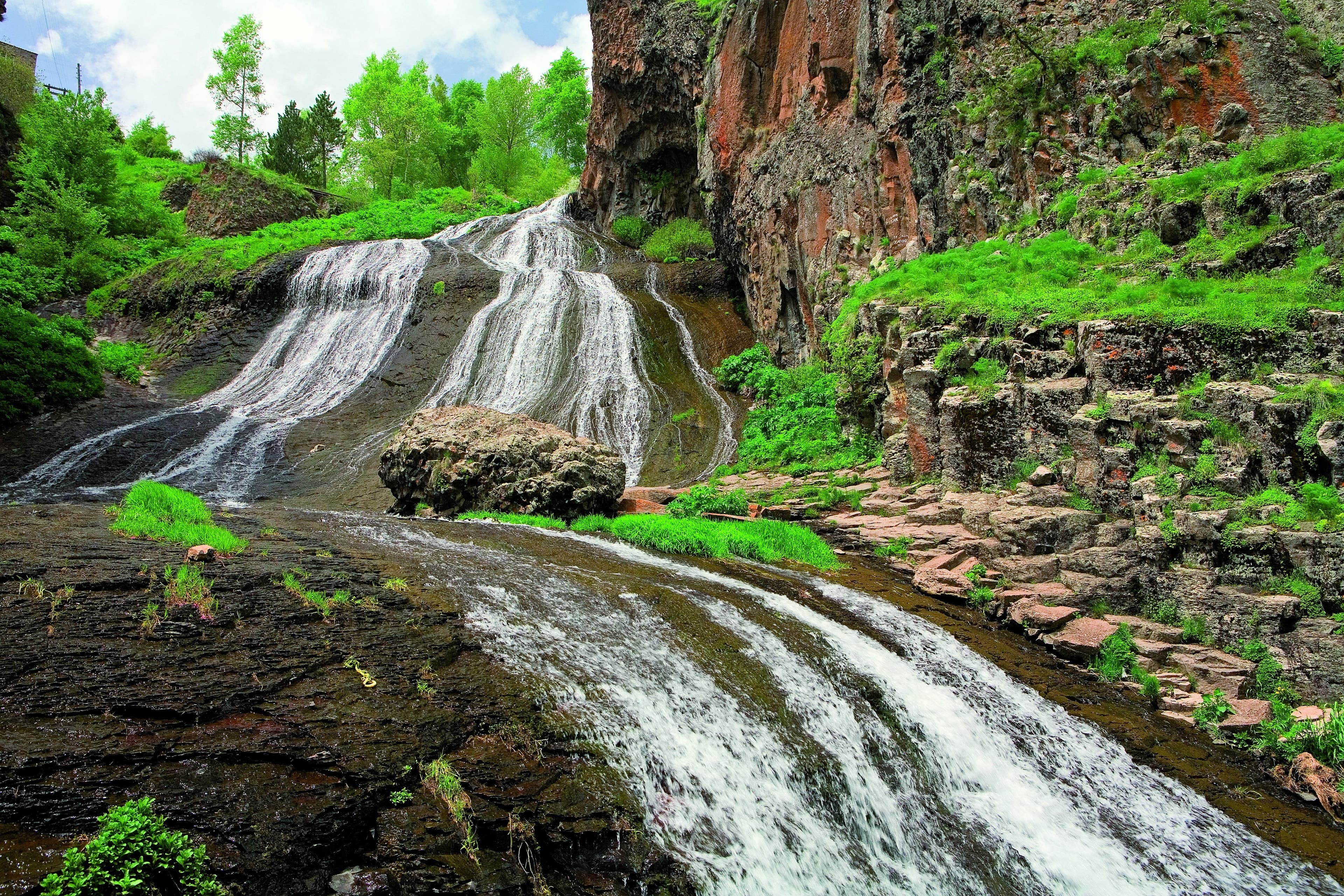
Jermuk, Vayots DzorGeyser
To drive Mount Vardenis and reach the summit on foot, Armenia Expeditions coordinates access through Yeghegis valley, proper vehicle equipment, and the summit hike with you. One message — we’ll plan the rest.