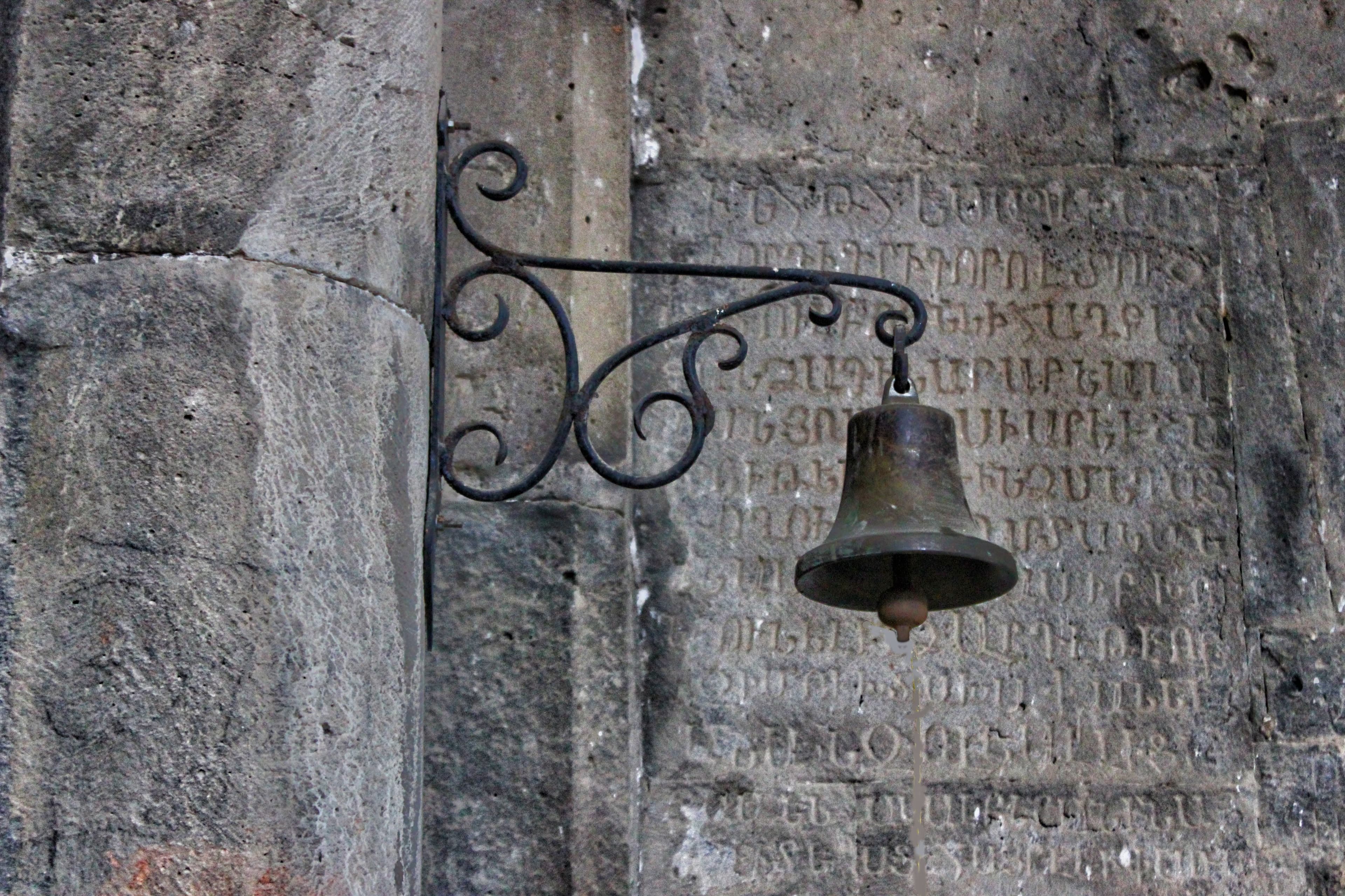
Paved UNESCO
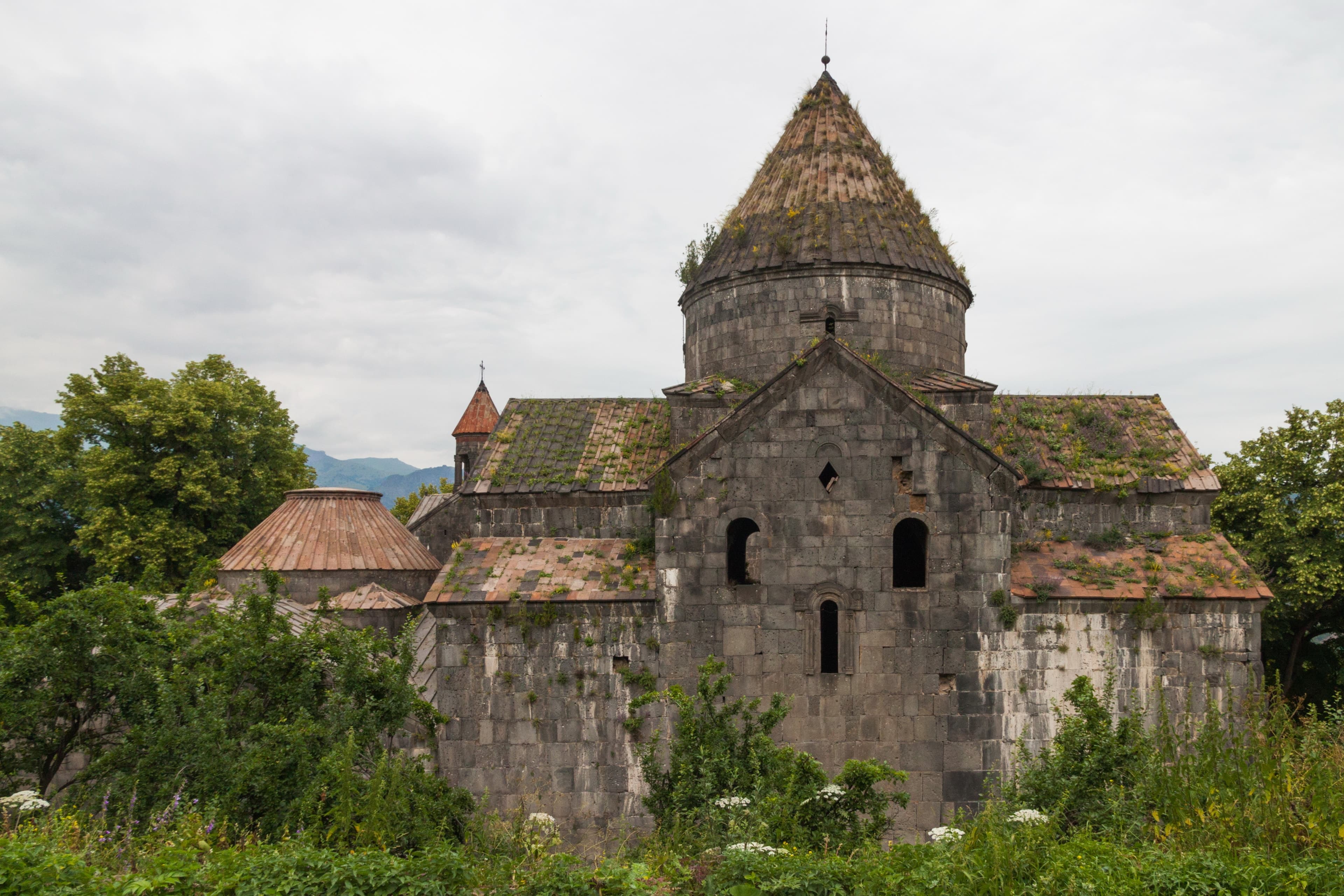
LoriMonastery
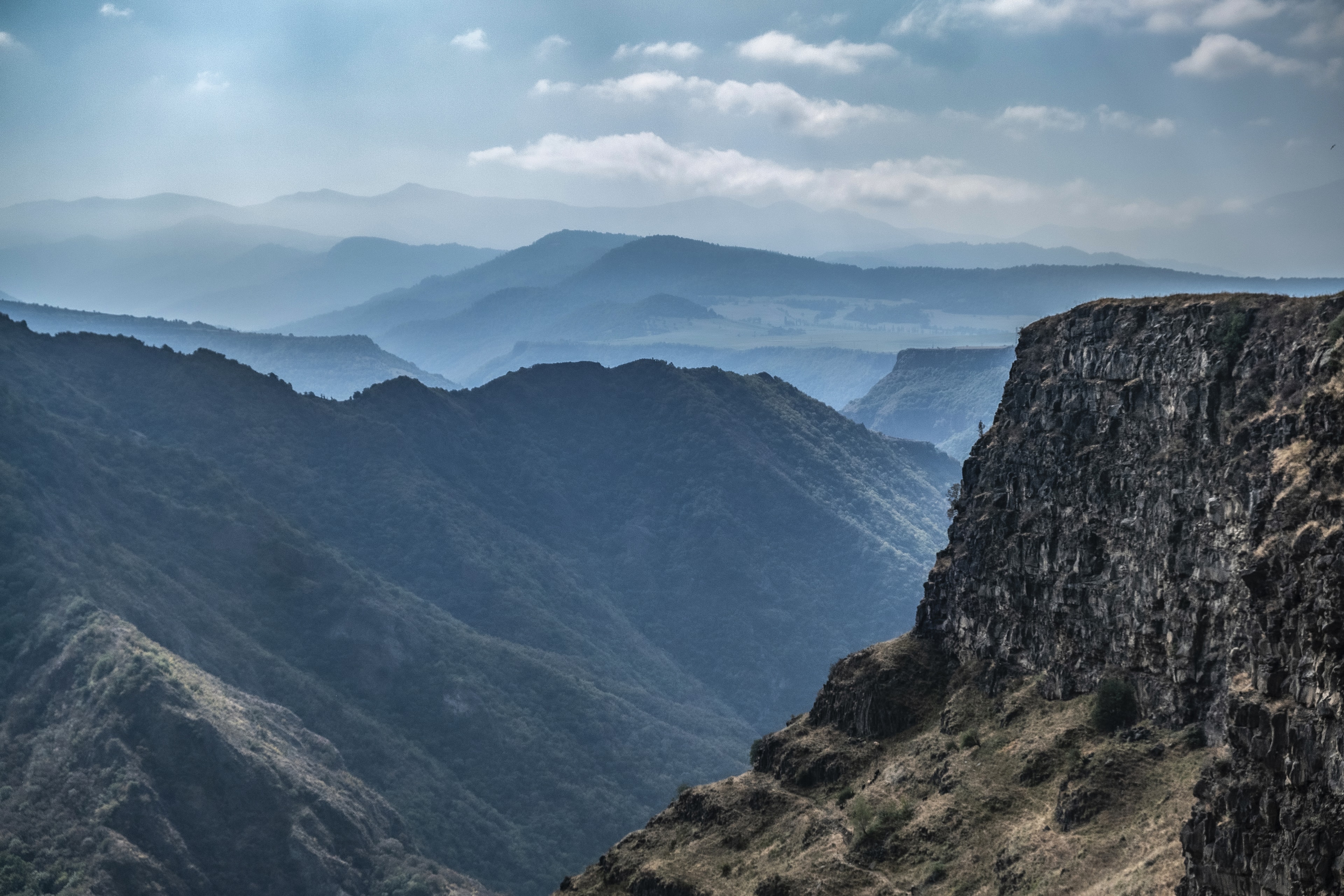
Lori — The Debed flows through Armenia's deepest gorge—approximately 380 meters above sea level—carving over millions of years through basalt layers that expose the interior of a volcanic continental platform. At the valley floor lies Alaverdi, an industrial city built on copper since the 18th century. The canyon connects both: raw geology and centuries of human settlement.
In the village of Dsegh, deep in the valley, Hovhannes Tumanyan was born, Armenia’s national poet — his lines on the rugged nature of the Lori plateau still carry the sound of this gorge. His birth house has been a museum since 1939. The M6 follows the river as the only through-road between Armenia’s heartland and Tbilisi: drive it, and you cross not just a valley but the country’s densest historical corridor.
Debed Canyon lies in Lori Province in northern Armenia, shaped by the river of the same name, which flows 176 kilometers through Armenia and Georgia. Where the Debed reaches its deepest point in its course, the ground drops to roughly 380 meters above sea level—the lowest point in all Armenia. The canyon walls display stacked basalt layers from the Pliocene and Pleistocene, sometimes over 200 meters thick: pillow basalts at the base, above them columnar-jointed pahoehoe lava flows. The valley is accessible via the paved M6 highway, which follows the riverbed and forms the only main connection between the Armenian heartland and Tbilisi.
Offroad & access
Offroad factor 1 out of 5. The M6 is a paved highway following the river course throughout and providing access to the entire valley from south to north. Driving on the valley floor requires no off-road vehicle. Turnoffs to individual monasteries are mostly concreted or asphalted; a few short gravel sections have potholes. Access to Haghpat (approximately 10 km of switchbacks from Alaverdi) and Akhtala runs on asphalted, sometimes narrow mountain roads. The section near the Georgian border may be temporarily torn up due to construction or weather. For hikers, the Kobayr–Kobayr Monastery route (approximately 8 km from the M6) offers an alternative on gravel and footpaths. Vehicle type for main route: any standard car; for turnoffs to remote highland destinations above the canyon, ground clearance is recommended.
- Lowest point in Armenia: approximately 380 m above sea level at the valley floor near Alaverdi - Debed River: 176 km long, formed at the confluence of Pambak and Dzoraget near Dsoragyugh; ultimately feeds into the Chrami, which drains into the Kura - Basalt layers: formation age approximately 3.25–2.05 million years (Pliocene/Pleistocene), thickness up to 200–400 m on the Lori Plateau - Two UNESCO World Heritage Sites in the valley: Sanahin Monastery (founded 10th century) and Haghpat Monastery (founded 10th century, endowed by Queen Chosrowanusch), both listed since 1996 - Akhtala Monastery: from the 10th century, transferred to Byzantine-Orthodox rite in the early 13th century under Ivane Zakarian; frescoes 1205–1216, trilingual inscriptions (Armenian, Greek, Georgian) - Alaverdi copper smelter: founded 1770 by Greek miners; by 1903 it produced 13% of total copper output of the Russian Empire; hydroelectric plant on Debed operational 1909; production ceased 1988 for environmental reasons, partially reopened 1997 - Ruling dynasties: Bagratids, Mamikonids, Zakariads; medieval kingdom of Tashir-Dzoraget under Kiurike I - Tbilisi–Alexandropol railway: completed 1899, economically developed the canyon section
The canyon belonged in the Middle Ages to the provinces of Gugark and Utik in historical Armenia. The kingdom of Tashir-Dzoraget, which Kiurike I of the Bagratid dynasty founded here, left the largest structures: Sanahin and Haghpat monasteries, both erected in the 10th century. Haghpat was endowed by Queen Chosrowanusch and developed into a regional center of theological education. Following Byzantine incursions in the 11th century and subsequent Zakariid rule, the region opened to Georgian cultural influence. Akhtala received, under Ivane Zakarian—who had converted to Chalcedonian Christianity at the Georgian court—a complete Byzantine fresco ensemble—today one of the finest examples of Byzantine wall painting outside the former Byzantine heartland.
In the 18th century, mining fundamentally transformed the valley. Greek miners settled in the region and operated a copper smelter from 1770 onward, expanded by Russian and later French investors. Following connection to the railway network in 1899 and activation of a hydroelectric plant on the Debed in 1909, Alaverdi was one of the most industrialized cities in the South Caucasus.
The village of Dsegh, in the valley section near Tumanyan, is known as the birthplace of Hovhannes Tumanyan (1869–1923), the Armenian national poet. Tumanyan spent childhood and youth here and wrote of the Lori Plateau's nature, which shaped his lyrical work throughout. His birthhouse has been a museum since 1939.
According to tradition, the name of Sanahin Monastery—Armenian roughly meaning 'This here is older than that'—carries centuries-old rivalry within it. The account holds that the monastery's monks claimed preeminence over Haghpat, located only a few kilometers away and erected roughly a decade after Sanahin. Whether the founders chose the name with this intent or whether the explanation arose later cannot be proven; the tradition, however, is firmly rooted in Armenian popular memory and is transmitted to this day. Both monasteries are visible from a common plateau, separated only by a tributary gorge of the Debed.
Debed Canyon concentrates in a small space three qualities rarely found together: geologically exposed earth history in basalt layers older than human settlement in Armenia; two UNESCO-listed monastery complexes from Armenia's High Middle Age within walking distance; and an industrial history deeply inscribed in Alaverdi's cityscape in the 19th and 20th centuries. The valley is no detour; it is the connecting axis between the Armenian heartland and Georgia—whoever does not drive it overlooks the densest historical corridor in the country.
**Access:** Via paved M6 from Vanadzor heading north, approximately 70 km to Alaverdi (travel time approximately 1.5 hours). From Yerevan approximately 170 km, travel time approximately 2.5–3 hours.
**Best season:** March to November; the M6 is passable year-round, though monastery access roads may be temporarily blocked by snowfall in winter.
**Base:** Alaverdi offers basic supplies (fuel stations, small hotels). For more comfortable accommodation: Vanadzor to the south.
**Monasteries:** Haghpat and Sanahin lie approximately 3 km apart on a plateau above Alaverdi. Sanahin is alternatively reachable by cable car from the valley floor (approximately 20 minutes walk to the monastery). Akhtala lies approximately 15 km north of Alaverdi directly on the M6. Admission to all monasteries is free.
**Kobayr:** The less-visited Kobayr Monastery (12th–13th century) sits on a rock ledge above the river; accessible via a marked trail from Kobayr village (M6 turnoff).
**Debed River:** During snowmelt (March–April) the river runs high; the road remains passable.
LoriMonastery
LoriMonastery
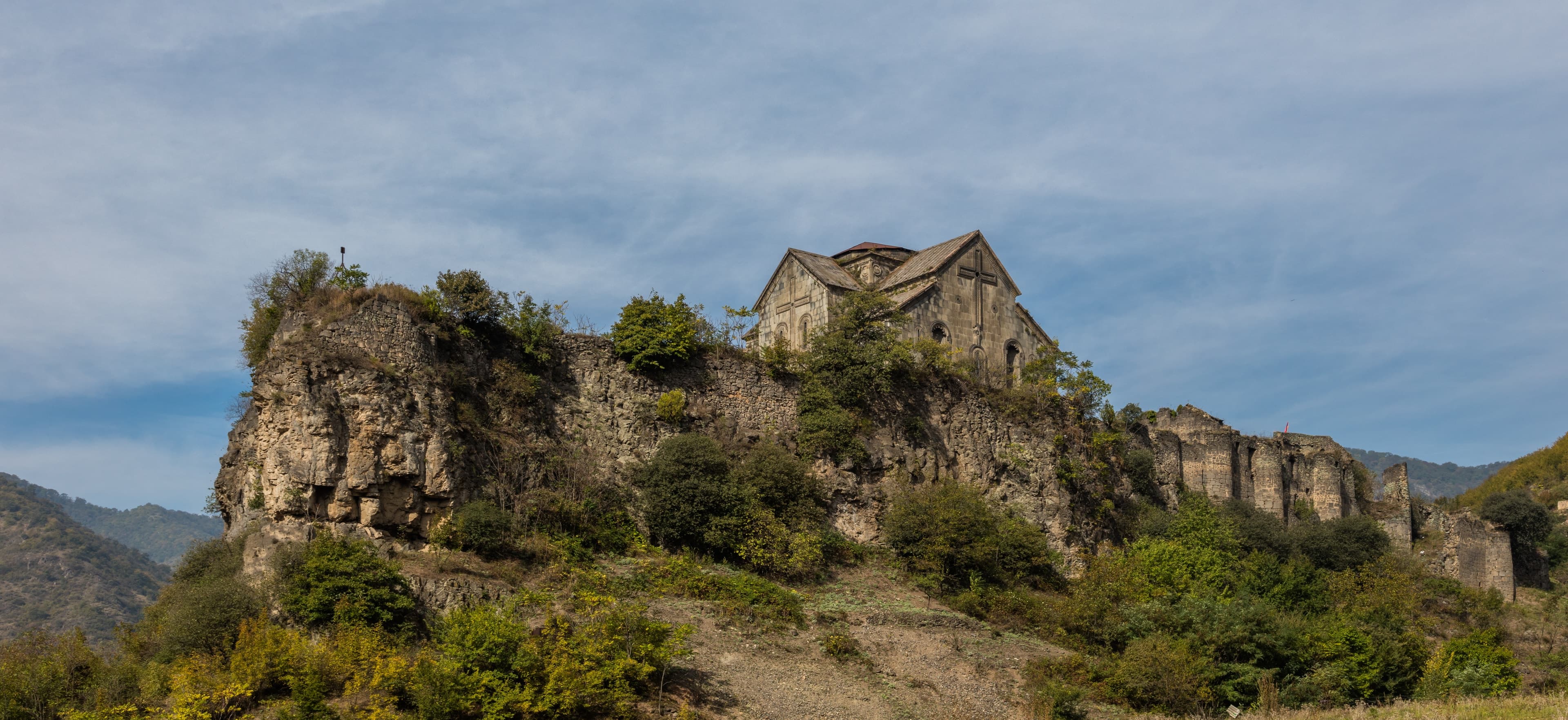
LoriFortress
Armenia Expeditions drives the M6 through Debed Canyon as a fixed component of the northern route—with stops at Haghpat, Sanahin, and Akhtala. If you want to understand Armenia's depth, not just its plateaus, the canyon is a central section. One message — we’ll plan the rest.